Rourke Ranch tells Las Animas County’s ranching history
Rourke Ranch turns a public-land hike into Las Animas County’s ranching record, linking a 52,000-acre cattle empire to Hispanic settlement and county memory.
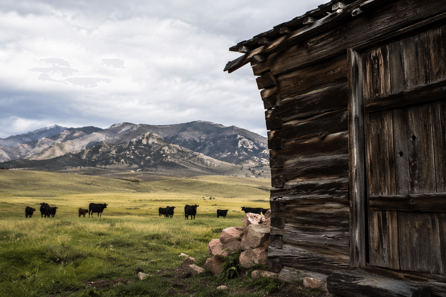
Rourke Ranch is where Las Animas County’s story shifts from coal and railroad corridors to land, livestock, and the people who controlled both. On the Picket Wire route, the former cattle ranch sits in public view beside dinosaur tracks, the Dolores Mission and Cemetery, and a canyon landscape that still shapes how the county remembers itself. The ranch began in 1871 with Eugene Rourke’s 40-acre settlement and grew into one of southeast Colorado’s oldest and most successful enterprises, eventually topping 52,000 acres before it was sold in 1971.
A cattle empire hidden in plain sight
Rourke Ranch, also known as the Wineglass Ranch, was founded by Eugene Rourke as a cattle and horse operation. Over roughly a century, three generations of the Rourke family lived and worked there, turning a small settlement into a large-scale ranching operation that helped define the Purgatoire River country. By the time the ranch left family hands in 1971, it had become far more than a homestead: it was a major landholding that had grown from 40 acres to well over 52,000 acres.
That scale matters in a county as large and geographically demanding as Las Animas. Established in 1866, Las Animas County is Colorado’s largest county, and distance, water, and open range have always shaped what could be settled, fenced, grazed, and passed on. Rourke Ranch belongs in that history because it shows how ranching was not a side note to county development, but one of the forces that organized the land itself.
Why preservation institutions put it on the map
The ranch is now a National Historic District, and it was listed on the National Register of Historic Places in 2000. That listing sits within the federal preservation system created by the National Historic Preservation Act of 1966, which gave the National Park Service a national role in identifying and protecting historic places. In practice, that means Rourke Ranch is not just remembered locally, it is formally recognized as a place with historical value worth preserving.
History Colorado has made clear why the district matters. The ranch played a significant role in the settlement and agricultural development of the Purgatoire River area, and it reflects the interaction of Hispanic and Anglo-American settlers. Its register entry also notes that in the early 1880s, Eugene and James Rourke began buying land from departing Hispanic farmers and sheep growers, building one of the largest cattle ranches in the area. That detail places the ranch inside a larger and less comfortable county story: land changed hands as families moved, agriculture shifted, and cattle interests consolidated control.
For Las Animas County readers, that makes Rourke Ranch more than a scenic relic. It is evidence of how property, migration, and agricultural power shaped the county’s long memory, often more quietly than the better-known coal and railroad eras.
What you see on the Picket Wire Trail
The easiest way to understand the ranch today is through the Picket Wire Trail in the Picket Wire Canyonlands. The trail begins at Withers Canyon Trailhead, drops about 250 feet into the canyonlands, and continues roughly 8.5 miles along the bottom of the Purgatoire River Valley to Rourke Ranch. The full round trip to the ranch is about 17 miles, which makes the visit a serious outing rather than a casual stop.
The Forest Service says hikers, bikers, and equestrians can use the route, but it also warns that the trail is rugged and hot. Visitors should plan to carry at least one gallon of water per person, and the route has no potable water. Those conditions are part of the story as much as the buildings or ruins: this is ranching country that still demands respect for heat, distance, and the realities of high plains travel.
The trail also passes the Dolores Mission and Cemetery, which gives the route its full historical range. The ranch represents the 19th-century livestock economy, while the mission and cemetery connect the canyon to earlier Hispanic settlement. Dinosaur tracks and rock art push the timeline even deeper. On one route, the county’s public land carries multiple histories at once, and Rourke Ranch is one of the clearest landmarks holding that layered landscape together.
How the ranch fits the county’s living landscape
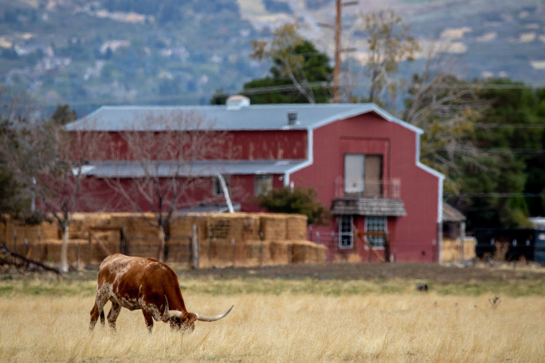
Rourke Ranch matters because it is not sealed off from the present. It sits within Comanche National Grassland, where some local cattle grazing still continues today. That means the ranch is not simply a preserved site about a vanished economy; it is part of a continuing working landscape in southeastern Colorado.
The U.S. Forest Service’s role is central here. It manages access, interprets the site, and frames the ranch as part of the broader Picket Wire experience. That public stewardship gives residents and visitors a chance to see how land use has changed without pretending the old economy disappeared neatly. Grazing, recreation, preservation, and memory now overlap on the same ground, and the institutions that manage that overlap determine what the public sees first.
That is why Rourke Ranch belongs in Las Animas County’s present tense. It shows how the county’s land was assembled, who benefited from that process, and how public agencies now preserve a record that private ownership once concealed. In a county whose identity is often reduced to coal seams or railroad routes, the canyon ranch says something different and more durable: the real power in southeastern Colorado has always been tied to land, and the land still tells the story.
This article was produced by Prism’s automated news system from verified source data, official records, and press releases, then run through automated quality and moderation checks before publishing. The system is built and supervised by the people who set the standards it runs under. Read our full AI policy.
Did this article answer your question?