82 mph wind gust hits Sterling as storms slam Logan County
An 82 mph gust at Sterling AWOS marked the peak of storms that sent 60 to 70 mph winds from Peetz to Sterling. Logan County was warned twice in two days.
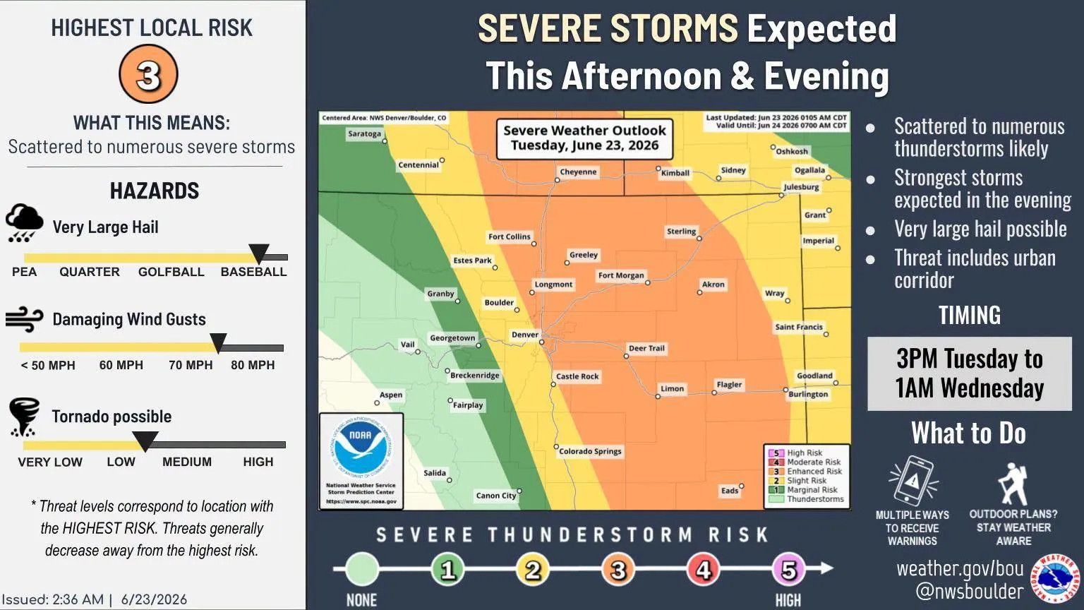
An 82 mph gust at the Sterling AWOS station put the hardest-hit point in Logan County on the map as storms tore through the Peetz-to-Sterling corridor and pushed 60 to 70 mph winds across the county. At Sterling Municipal Airport, the local National Weather Service benchmark for Sterling, that kind of reading points to a fast-moving wind event that can disrupt travel on open roads and force residents to secure anything left outside.
The National Weather Service in Denver issued a Severe Thunderstorm Warning for southwestern Logan County on July 22 at 7:44 PM MDT, and it stayed in effect until 8:30 PM MDT. The next round of warnings came on July 23 at 3:36 PM MDT, when eastern Lincoln County was placed under a severe thunderstorm warning through 4:00 PM MDT as a storm about 6 miles northeast of Arriba moved southeast at 20 mph with 60 mph wind gusts and quarter-size hail.

That same stretch of weather was not confined to one county line. A separate Logan County warning on July 23 tied the storm complex to the broader eastern Colorado setup, showing how quickly the system shifted from southwest Logan County to the area near Arriba and then farther southeast. For people in Sterling, Peetz, and the rural roads between them, the practical difference was the same: a short window of damaging wind, abrupt changes in visibility, and a need to check for loose debris and wind-blown damage.
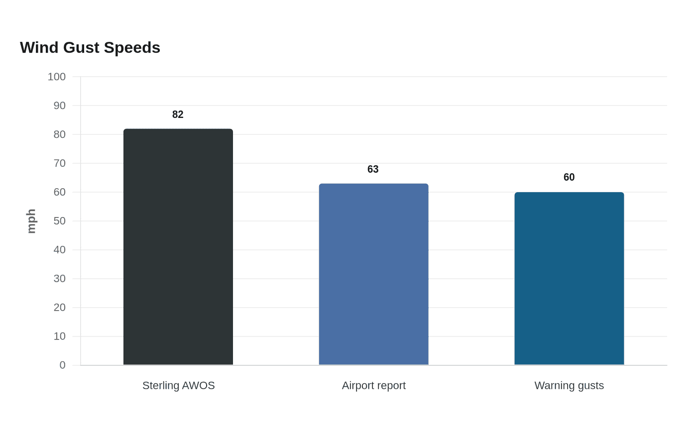
Additional reports in Logan County filled in the local picture. Automated weather stations between Peetz and Sterling recorded gusts of 60 to 70 mph, and one Colorado airport report logged a 63 mph wind gust in the Sterling area. Those readings lined up with the 82 mph peak at Sterling AWOS and helped establish where the strongest winds hit hardest, with the county seat and the open country west and north of Sterling taking the brunt of the system.
The multi-day pattern across northeastern Colorado left Logan County in a repeated severe-weather corridor from July 22 into July 23. With the strongest local benchmark coming from Sterling Municipal Airport, the county’s immediate focus after storms like this is on the exposed places that feel wind first, including roads, farmyards and equipment scattered across the open plains.
This article was produced by Prism’s automated news system from verified source data, official records, and press releases, then run through automated quality and moderation checks before publishing. The system is built and supervised by the people who set the standards it runs under. Read our full AI policy.
Did this article answer your question?