Fleming records 60 mph thunderstorm gusts during severe weather outbreak
Fleming logged a 60 mph thunderstorm gust as severe storms swept northeast Colorado, with warnings for roof, siding and tree damage.

A 60 mph thunderstorm gust hit Fleming at 5:48 p.m. MDT July 9, putting Logan County squarely in the path of a severe-weather outbreak that stretched across northeastern Colorado. The preliminary National Weather Service local storm report placed the reading at Fleming, 40.69N, 102.84W, and listed a Mesonet personal weather station as the source.
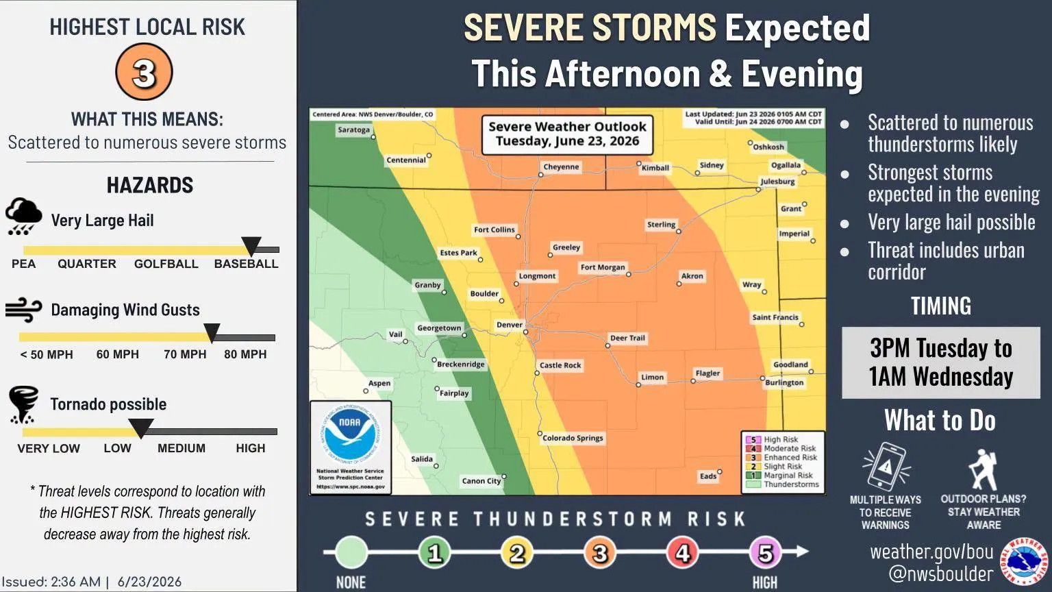
The National Weather Service in Denver/Boulder had already warned that storms moving east at about 20 mph could bring 60 mph wind gusts and damage roofs, siding and trees. The warning told people to get inside a well-built structure and stay away from windows, a reminder that wind of this strength can turn loose outdoor items into hazards and make open roads harder to travel, especially on the county routes and farm roads around Fleming.
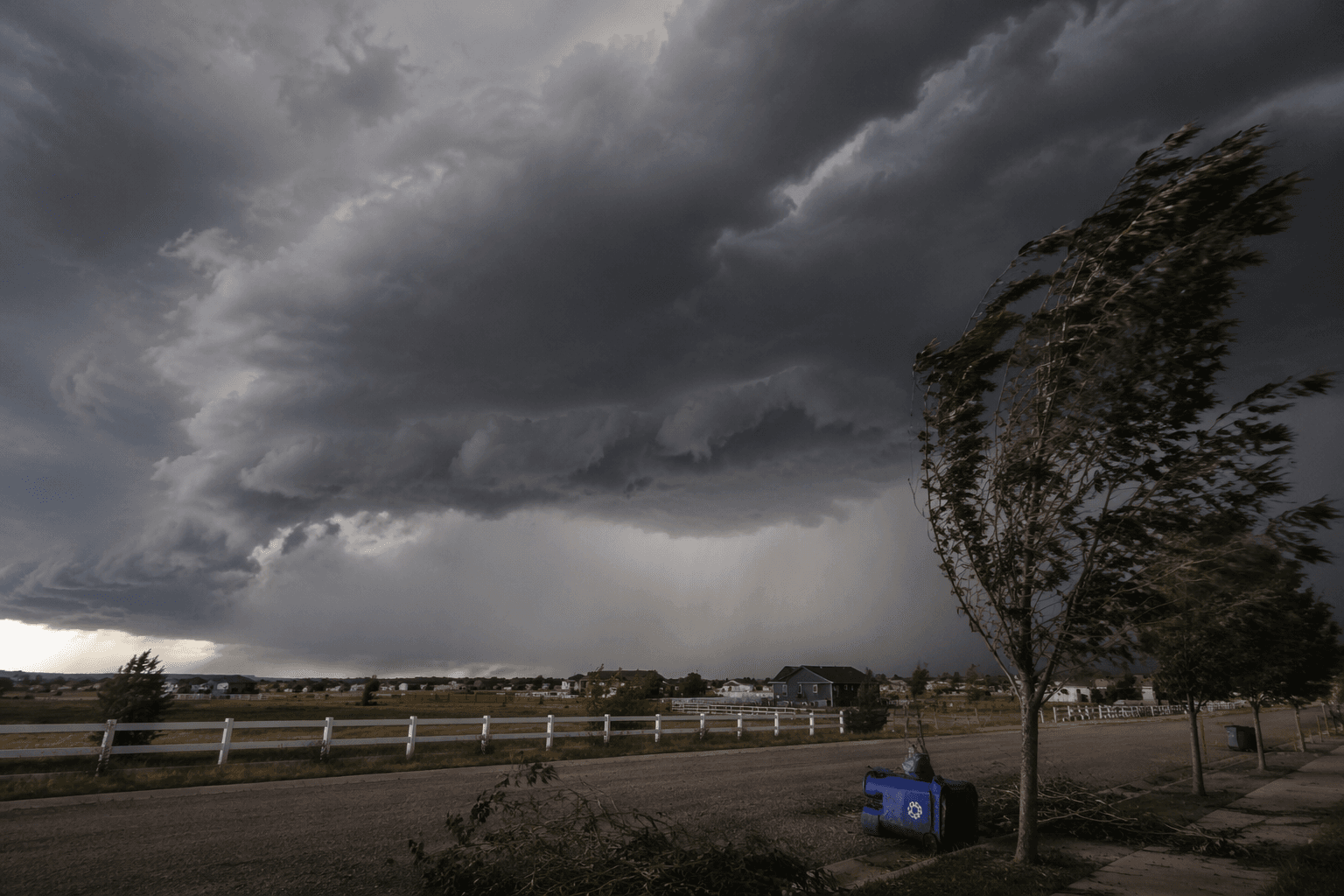
For Logan County residents, the immediate lessons are practical. Vehicles, trailers, grain bins, irrigation gear and other exposed equipment need to be secured before storms arrive, because a 60 mph gust is strong enough to shift or damage lightweight materials and throw debris into driveways, yards and fields. The same tree damage cited in the warning also raises the risk of short power interruptions when limbs come down on lines, which can leave rural homes and businesses without electricity or internet service for a stretch.
The report also fits into a broader weather picture that matters in northeastern Colorado, where storm coverage can change quickly from one county to the next. A severe weather statement issued earlier in the afternoon tracked thunderstorms along a line from near Keenesburg to near Aurora and again cited 60 mph gusts, showing how quickly the system was organizing across the region. Logan County remains a focus area for National Weather Service weather decision-support products, including the county’s weather page, because local impacts can turn up fast even when the strongest storm cores are passing just to the south or east.
Colorado State University’s Colorado Climate Center says CoAgMET is the state’s mesonet, with about 90 research-grade weather stations, many of them in rural agricultural areas. That network helps capture events like the Fleming gust in places where a single reading can matter for crop work, travel plans and outage response. The Climate Center’s severe-storm climatology, which includes reports from 1955 through 2025, gives forecasters and local officials a long record for comparing this July wind event with decades of tornado, hail and damaging-wind reports across Colorado.
This article was produced by Prism’s automated news system from verified source data, official records, and press releases, then run through automated quality and moderation checks before publishing. The system is built and supervised by the people who set the standards it runs under. Read our full AI policy.
Did this article answer your question?