Sterling area watches severe storm risk, large hail possible Thursday
Sterling area storms were expected Thursday afternoon and evening, with large hail the main threat and a low tornado chance still on the table.
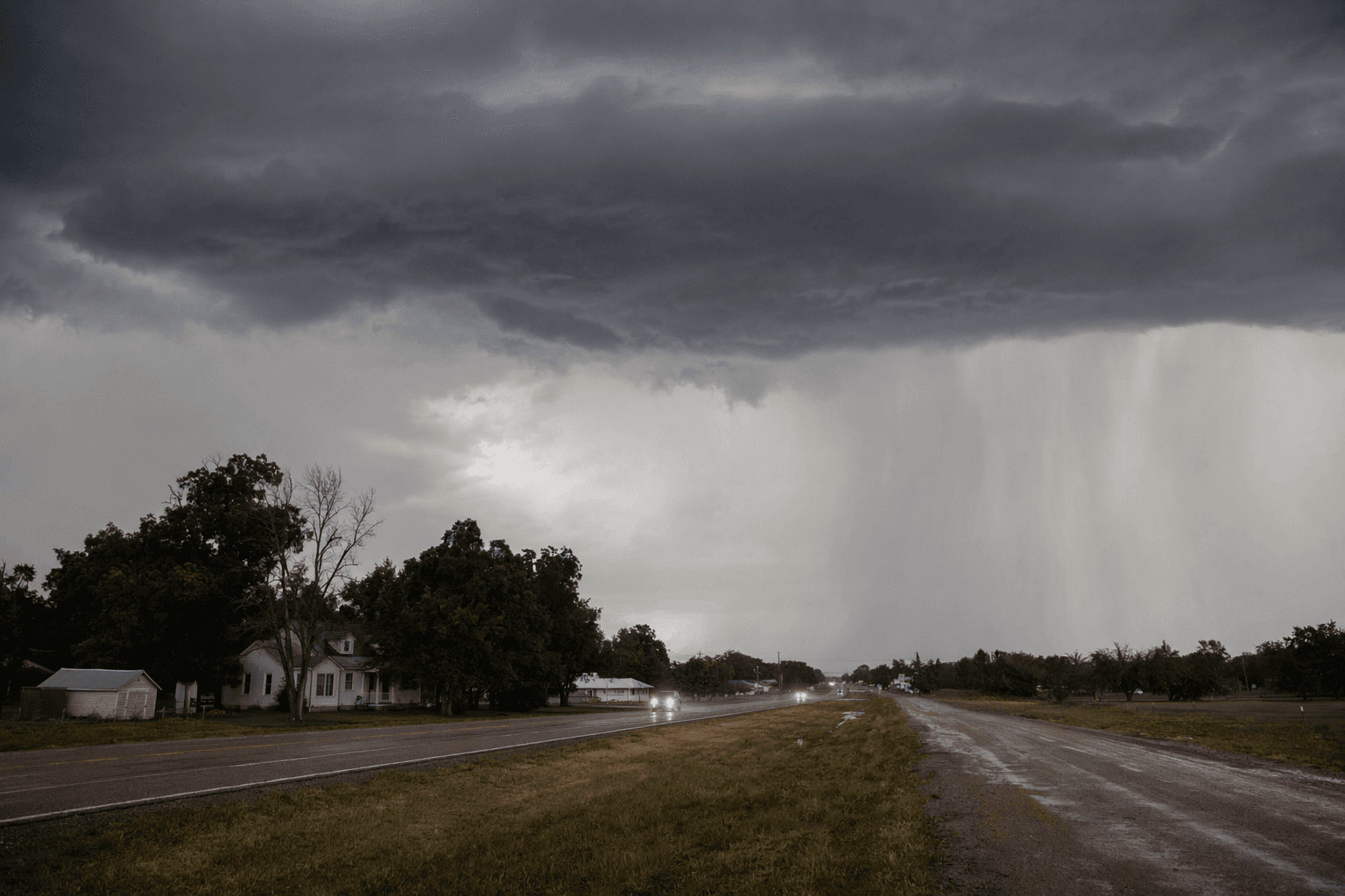
Large hail was the biggest concern for the Sterling area as thunderstorms were expected to develop across eastern Colorado Thursday afternoon and evening, with storm chasers watching Logan County closely. The National Weather Service’s Denver/Boulder office said the primary hazard was large hail, the kind that can quickly damage vehicles, roofs, crops and outdoor equipment in and around Sterling.
The Storm Prediction Center placed northeastern and eastern Colorado in a slight risk for severe weather. Its outlook included a 2% tornado probability, a 15% hail probability and a 5% severe wind probability. In the National Weather Service’s risk legend, that meant a marginal tornado risk, a slight hail risk for hail 1 inch or larger, and a marginal wind risk. For anyone with school pickups, fieldwork, travel or outdoor plans, the key window was Thursday afternoon into evening, when widely scattered storms were expected to flare up.
Logan County has a severe-weather history that gives that setup added weight. National Weather Service records show Colorado has logged 1,546 EF/F1 tornadoes, 599 EF/F2 tornadoes, 127 EF/F3 tornadoes, 25 EF/F4 tornadoes and one EF/F5 tornado from 1950 through 2024. On June 21, 2023, up to 37 tornadoes struck across Logan and Washington counties, and 27 of them came from one slow-moving supercell. That outbreak remains one of the clearest reminders of how quickly a local forecast can turn into a public safety event on the plains.
More recently, a long-lived supercell on May 23, 2025 produced three tornadoes across Logan and Washington counties, including one EF-2 and one EF-1. That same storm also dropped golf ball to baseball sized hail, with one ICECHIP report of hail over 3 inches in northern Washington County. One tornado caused sporadic damage near Willard, including damage to grain silos. With that history in view, the Sterling area had reason to watch Thursday’s storm potential carefully, especially for hail large enough to threaten vehicles, equipment and crops before the day was out.
Know something we missed? Have a correction or additional information?
Submit a Tip