Flood watches posted as McDowell County faces another wet stretch
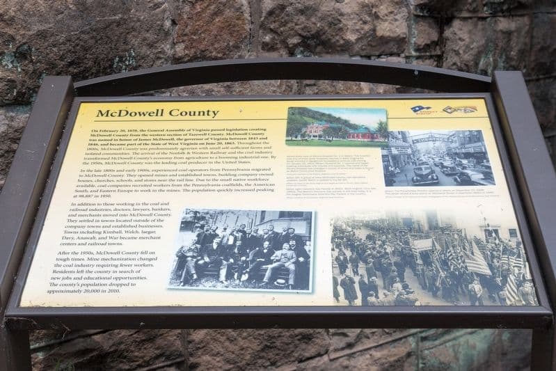
Flood watches covered McDowell County through Sunday morning as heavy thunderstorms threatened low-water crossings, back roads and access in a county scarred by the 2025 floods.
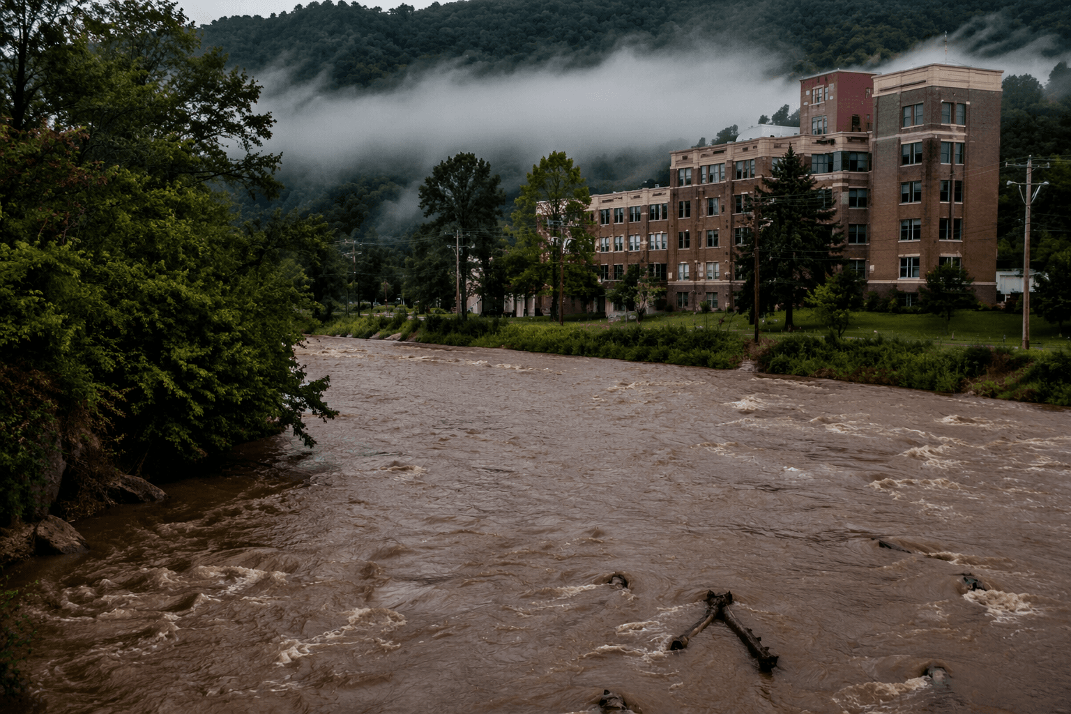
Flood watches covered McDowell County and five neighboring counties through 8 a.m. Sunday as meteorologist John Marcy warned that warm, humid air could turn scattered showers into heavier downpours. Raleigh, Wyoming, McDowell, Fayette, Nicholas and Pocahontas counties were all in the watch as dew points held in the 60s and the forecast called for a messy mix of morning rain, afternoon thunderstorms and localized flooding.
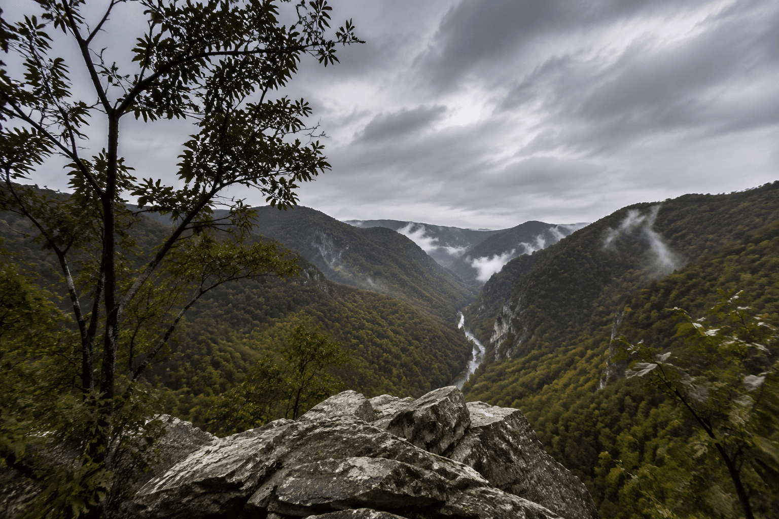
Marcy said the atmosphere was unstable enough for pop-up storms, and he pointed to the region’s terrain as a problem for eastern counties, where upslope lifting can squeeze out even more rain. The National Weather Service in Charleston kept McDowell County under a Flood Watch and warned that some thunderstorms could produce heavy rainfall. Forecasters also said flash flooding can begin within six hours of the rain that causes it, a short window that leaves little margin on mountain roads and along creeks.
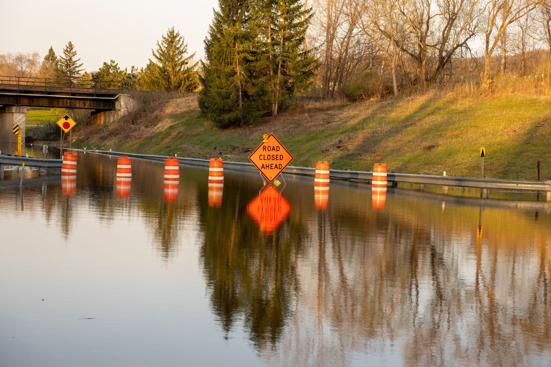
The timing kept the threat alive through the weekend. A cold front arriving Friday was expected to bring more widespread heavy rain, while Saturday could add another round if a stationary boundary stalled south of the region. The National Weather Service said rounds of heavy showers and storms were expected into Sunday night, with locally heavy rain capable of producing flash flooding. That made the biggest concern less about countywide rainfall totals than about the places that fail first: low-water crossings, creek bottoms, steep hollows and roads that can be cut off quickly.
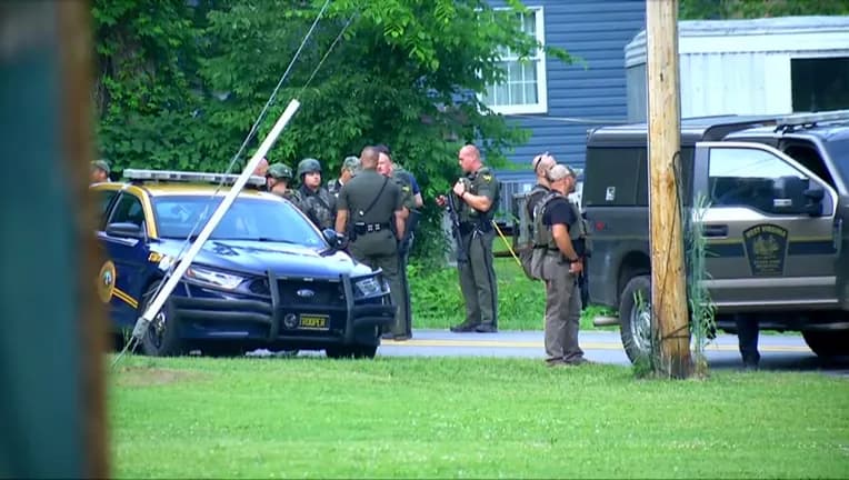
McDowell County has already paid a steep price for that kind of water. On February 15, 2025, historic flooding killed Donald Griffin and Deborah Griffin, both 69 and from Welch, and a 2-year-old boy whose body was found in the Tug Fork River at Davy. Mercer, McDowell, Raleigh and Summers counties declared countywide states of emergency that day, and the damage later forced state road work, including a new access road in Gary after a private bridge was destroyed.
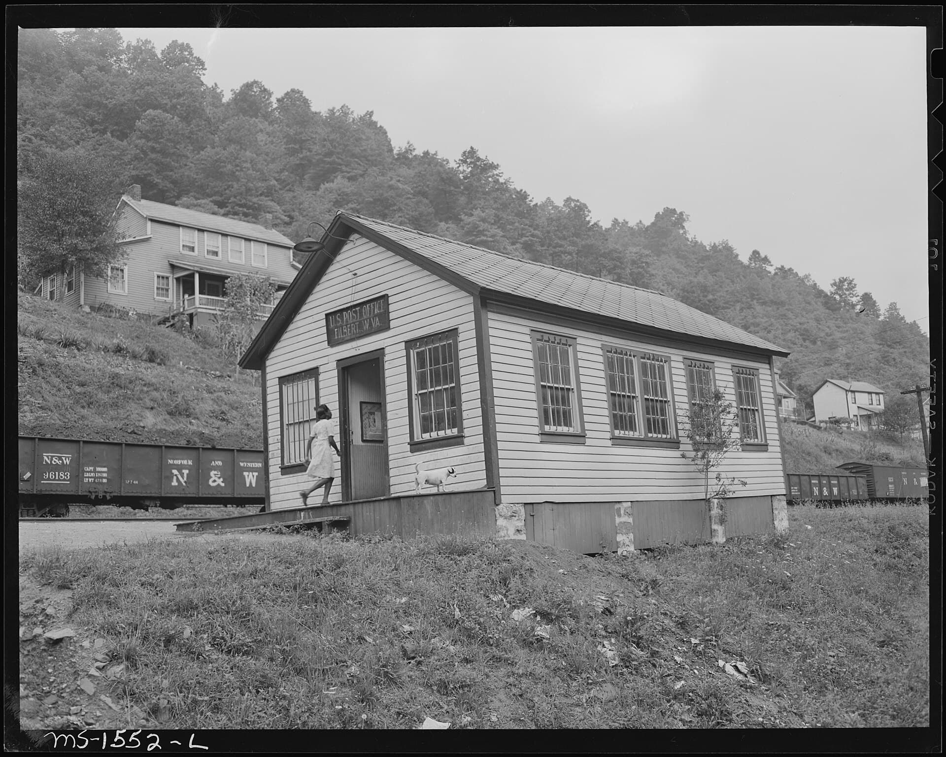
That history turned the July forecast into a travel and access warning for the county. Crews and residents in Welch, Davy and Gary had to watch for quick rises, clogged culverts and isolated roads, even if the broader weather pattern looked manageable elsewhere. Forecasters said conditions were expected to improve late Sunday and into Monday, but only after another wet stretch capable of turning routine routes into trouble spots.
This article was produced by Prism’s automated news system from verified source data, official records, and press releases, then run through automated quality and moderation checks before publishing. The system is built and supervised by the people who set the standards it runs under. Read our full AI policy.
Did this article answer your question?