Indian Ridge trail system links McDowell County towns, offers 63 miles
Indian Ridge ties Ashland, Northfork and Keystone into a 63-mile corridor where permits, signs and 911 coverage shape both tourism income and daily safety.
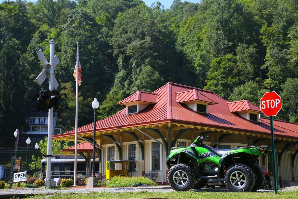
The Indian Ridge trailhead in Ashland has a 2-plus-acre parking lot, on-site restrooms and no staff. Its 63 miles near Ashland pull riders through a corridor that reaches Northfork and Keystone, and the trailhead’s parking, restrooms and permit pickup rules decide whether that traffic turns into steady business for fuel stops, cabins and restaurants. Because the trailhead is not staffed, county and state systems have to do more of the organizing work: road signs, 911 addressing, road maintenance, enforcement and rescue all sit upstream of the actual ride.
What Indian Ridge puts on the map
Indian Ridge sits in the southern Hatfield-McCoy network near Ashland, and the route profile is built for riders who want a full day, not a quick out-and-back. The system connects with Pinnacle Creek, Warrior and Pocahontas, which lets a trip stretch across a much larger continuous riding area without repeating the same terrain.
The trail itself is built around access to community services as much as scenery. Ashland, Northfork and Keystone all sit on the trail corridor, with gas, food and lodging available in each town, so the trail system can support a weekend that starts on the trail and ends with spending in town. Ashland Resort is the closest business to the trailhead and has direct access to Indian Ridge, along with the adjoining Pinnacle Creek and Pocahontas systems.
How the access system works
The Indian Ridge trailhead is in Ashland near Northfork. Permits and merchandise are sold at Ashland Resort, so riders need to know where to stop before they roll in.
McDowell County Emergency Services handles 911 communications, emergency management, the Fire Marshal’s Office, 911 addressing and county road signs, which makes it a central player when travelers need to find the route or when something goes wrong. On the state side, the West Virginia Division of Highways is responsible for planning, maintenance, safety and highway information on state roads, and District 10 covers McDowell, Mercer, Raleigh and Wyoming counties.
Safety on the trails falls under a separate layer of enforcement. The Hatfield-McCoy rules require a valid user permit, helmets and eye protection, and riders must obey signs, gates and barriers, stay on marked trails and ride only during daylight hours. West Virginia law also directs trail users to obey traffic-control devices and signs within the recreation area, while state natural resources police can be assigned to enforce the rules on Hatfield-McCoy land.
Why the trail matters to McDowell County’s economy
The Hatfield-McCoy Trail Coalition formed in 1990, the legislature created the Hatfield-McCoy Regional Recreation Authority to manage the system, and the first section opened in 2000. Since then, the network has grown to more than 1,000 miles, and the West Virginia Encyclopedia puts annual permit issuance at more than 30,000.
A 2024 state release put Hatfield-McCoy permit sales at 92,000 the previous year, up 6 percent from the year before and more than double the total from eight years earlier. A 2022 state release put 2021 permit sales at nearly 95,000, then a record. The trail network is open 365 days a year.
A Marshall University economic impact report prepared for the Hatfield-McCoy Regional Recreation Authority put the system’s total statewide economic impact at more than $22 million, including about $19 million in non-local visitor spending. For McDowell County, that means fuel, meals, lodging and repair shops benefit when riders can move smoothly from the trailhead to Ashland, Northfork and Keystone and back again.
What a McDowell County ride looks like
Riders can park at Ashland, pick up permits at Ashland Resort, then build a route that links into Pinnacle Creek, Warrior or Pocahontas if they want a longer loop. The system is suitable for a mix of difficulty levels, and the nearby communities give riders a place to refuel without leaving McDowell County.
This article was produced by Prism’s automated news system from verified source data, official records, and press releases, then run through automated quality and moderation checks before publishing. The system is built and supervised by the people who set the standards it runs under. Read our full AI policy.
Did this article answer your question?