Lewis Camp marker highlights McDowell County's frontier war history
A roadside marker in Iaeger points to a 1756 camp, and to a bigger question: who in McDowell County is preserving history that predates coal?

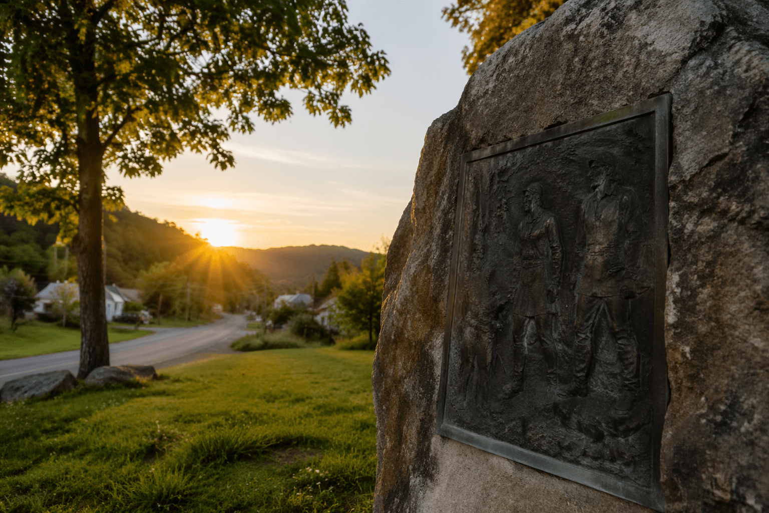
Major Andrew Lewis’s stop in Iaeger on February 26, 1756 sits in plain sight beside West Virginia Route 80 near U.S. Route 52, just south of the Front Street Bridge. The Lewis Camp marker does more than mark a military camp from the French and Indian War; it shows that McDowell County’s public history begins in a frontier corridor long before coal towns, company stores, and rail traffic defined the valley.
At the roadside in Iaeger
The marker was erected in 1975 by the West Virginia Division of Archives and History and now stands in a place most drivers can pass without realizing what it marks. The West Virginia Historical Markers Project places it about 100 yards south of the junction with Route 52, at the east end of Front Street Bridge. State culture records add one more useful detail: the camp site is near where the old railroad station once stood, tying the same stretch of land to two different transportation eras.
That location matters because Lewis Camp is not an abstract reference to a battle far away. It is anchored to Iaeger, a town that county tourism materials identify as one of McDowell County’s historic sites. Visit McDowell County places the marker in Iaeger on February 26, 1756, and presents the county as a place where scenic vistas, trails, and historical towns sit side by side. In other words, the marker is already part of the county’s heritage inventory. The harder question is how prominently it is treated in practice.
What happened in February 1756
The Lewis Camp marker points to the Sandy Creek Expedition, a February 1756 French and Indian War campaign led by Major Andrew Lewis. The expedition was aimed at Shawnee villages in Ohio and came after frontier violence intensified following Edward Braddock’s defeat in July 1755. The West Virginia Encyclopedia notes that the raids hit settlements in the New, Greenbrier, and Tygart River valleys, which helps explain why colonial leaders pushed a retaliatory expedition into the interior.
The Library of Virginia describes Lewis’s force as 340 volunteers and rangers, including a Cherokee contingent. That number gives the episode a sharper human scale: this was not a large professional army, but a thin, improvised column trying to move through winter country with limited supplies. The same account says the expedition was undone by heavy rain, hunger, and cold before it could achieve its goal. The marker in Iaeger compresses that larger failure into one roadside stop, but the broader campaign shows how difficult it was for colonial forces to reach, supply, and sustain operations in the Appalachian backcountry.
Lewis’s camp at Iaeger was part of that movement through the Tug Fork valley, a route that later became valuable for rail lines and highways. That continuity is one reason the site matters beyond military history. The land corridor that once carried a frontier expedition eventually carried trains, then automobiles, then the daily traffic of modern McDowell County. The marker sits at the junction of those overlapping histories.
Why McDowell County should care
Lewis Camp is useful because it unsettles a narrow view of McDowell County as only a coal county. The marker shows that the county’s story begins in a much older set of conflicts over movement, settlement, and control of the backcountry. Iaeger was not built first as a coal town and only later remembered as a historic place. It already occupied a route that colonial forces used for military travel, and that route remained important enough to become a railroad and highway corridor.
That longer timeline is also where the preservation question becomes civic rather than decorative. If Lewis Camp remains a roadside sign that only locals notice, then a piece of county history stays hidden in plain sight. Residents lose more than a lesson about 1756. They lose a chance to explain why the Tug Fork valley has mattered for generations, why the county’s roads follow older paths of travel, and how McDowell’s public identity can include a frontier past as well as a coal past.
There is also a practical policy issue here: who keeps the marker visible, legible, and integrated into county heritage planning? The West Virginia Division of Archives and History erected the marker decades ago, but present-day stewardship is a different matter. Local officials, tourism staff, and cultural institutions decide whether a site like Lewis Camp is treated as a stop on the county’s historical map or left as background scenery for drivers passing through Iaeger.
A small marker, a larger public record
The county culture archive adds another layer to the site’s history by noting that some of the first families in the Iaeger area were descendants of Allen Steele. That detail does not turn Lewis Camp into a family genealogy display, but it does show how many strands of settlement history intersect around the same place. Military movement, early family settlement, rail development, and highway traffic all overlap in this corner of McDowell County.
That overlap is exactly why Lewis Camp belongs in a broader conversation about heritage planning. The marker is not just a relic of one February morning in 1756. It is evidence that McDowell County has an older story than the one most outsiders know, and that story is still visible at a specific place on Route 80 near U.S. 52 in Iaeger. If county leaders want the public record to reflect the full span of local history, this is the kind of site that should not stay obscure.
This article was produced by Prism’s automated news system from verified source data, official records, and press releases, then run through automated quality and moderation checks before publishing. The system is built and supervised by the people who set the standards it runs under. Read our full AI policy.
Did this article answer your question?