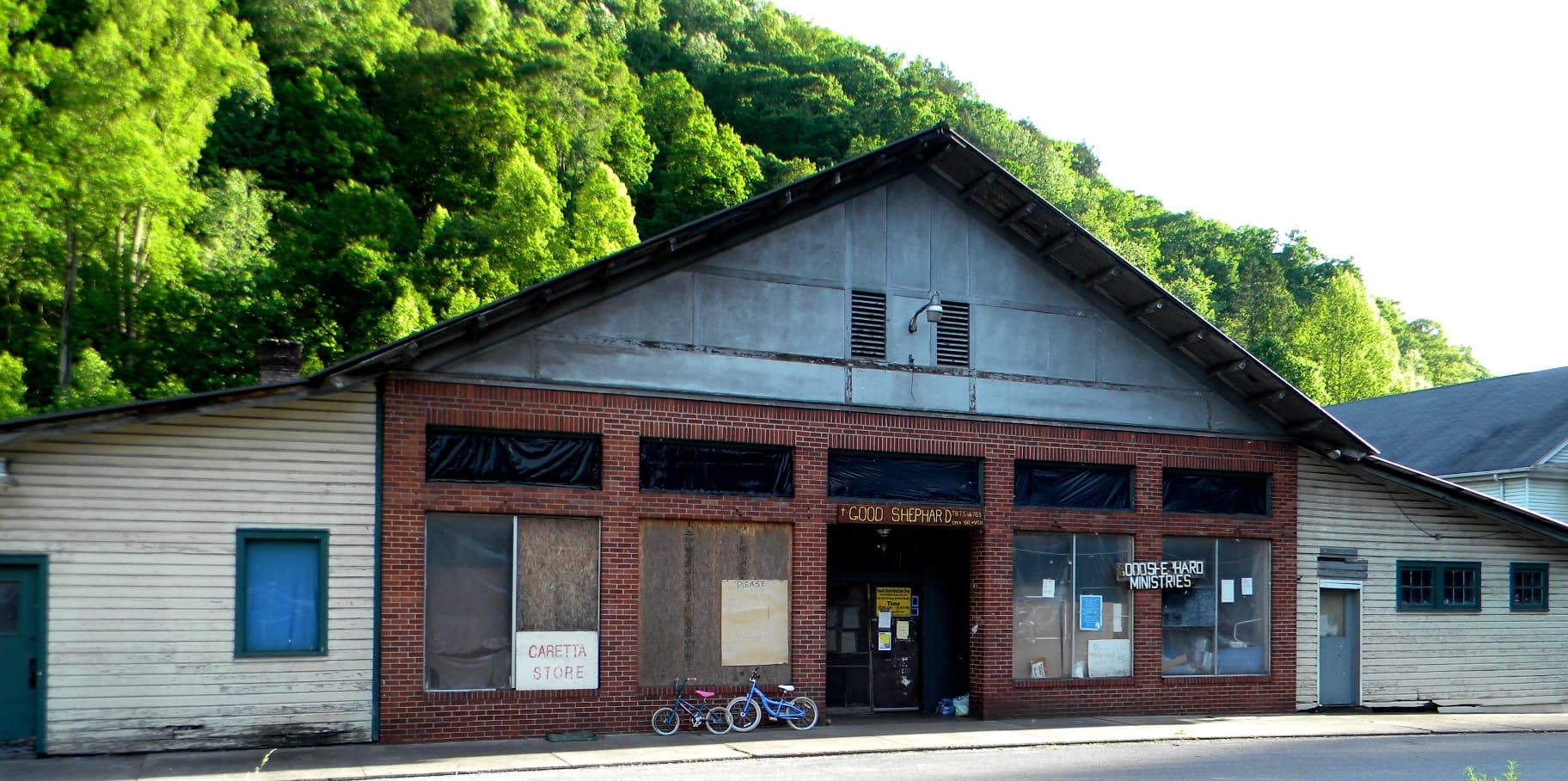
Welch’s downtown tells the story of its railroad-era growth
McDowell and Wyoming streets show how Welch grew from fewer than a dozen homes into a county-seat business center built for rail and coal.
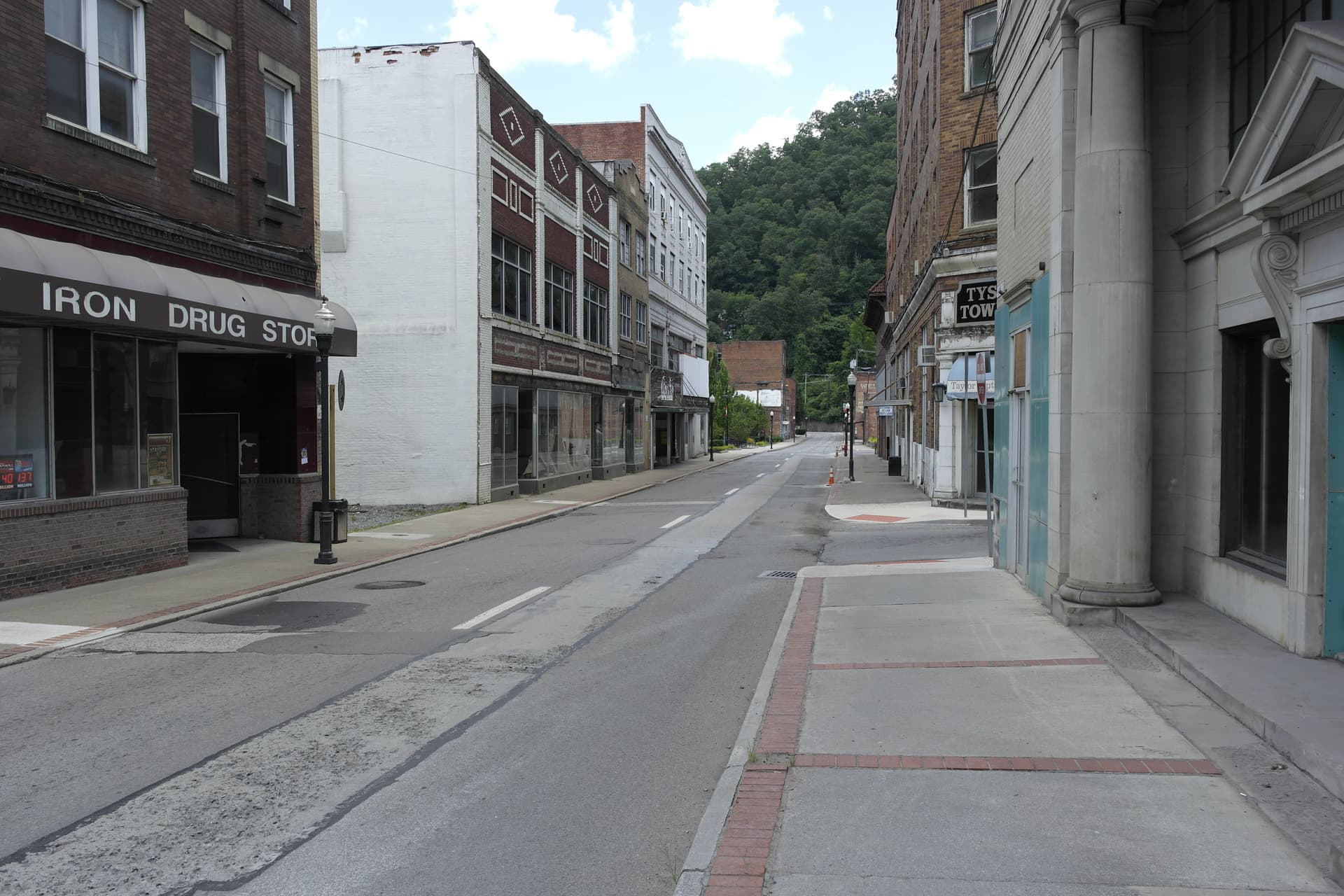
Welch’s downtown is built around two parallel north-south streets, McDowell and Wyoming, and that layout tells you almost everything about the town’s railroad-era rise. The commercial core grew in a tight mountain setting, not on a broad courthouse square, after the settlement began with fewer than a dozen homes and then gained railroad access. Welch was settled in 1885, named for I.A. Welch, and became McDowell County’s county seat in 1891 after the seat moved from Perryville.
A downtown built for rail, not leisure
The National Register nomination for the Welch Commercial Historic District treats downtown as a preserved working landscape, not just a cluster of old buildings. Its period of significance runs from the 19th century into the early 20th century, which fits a town that had already become a county seat before the coal boom fully matured. Britannica dates Welch’s opening to 1894, a reminder that the town’s formal growth followed quickly behind the county seat move.
That sequence matters because Welch did not expand the way many small Appalachian towns did, with one broad main street and room to sprawl. Instead, the street pattern compressed government, trade, and daily life into a narrow corridor shaped by land constraints and rail access. When you stand in the district, the street plan itself is the first artifact, because the business district was built to function inside a mountain valley, not to present a postcard view.
McDowell Street as the county-seat spine
McDowell Street carries the weight of Welch’s government history because the county seat arrived before the town had fully matured. Once the county seat moved from Perryville in 1891, the downtown was expected to serve clerks, lawyers, merchants, jurors, travelers, and residents all at once. That is why the district feels institutional as much as commercial, with the government function of a county seat folded into the same small downtown grid as storefront trade.
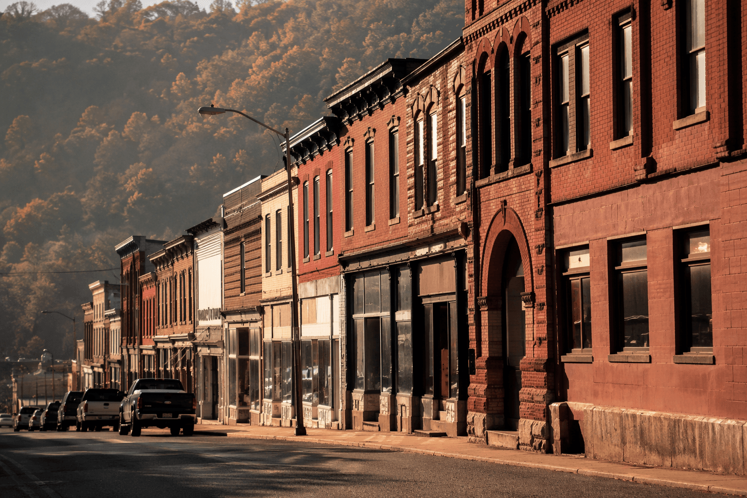
The county government’s continuing presence keeps that role visible. In April 2024, McDowell County officials planned to demolish the magistrate court, family court, and commission offices in Welch and replace them with a new building. Even as the physical plant changes, the fact that those offices sit in Welch shows how the town still anchors county business in the same downtown that rail-era growth first created.
Wyoming Street and the business corridor
Wyoming Street runs parallel to McDowell Street, and together they define the district’s commercial logic. Rather than building outward in a wide sweep, merchants and service providers concentrated on the available ground between and along the two streets. That kind of layout is a clue to Welch’s economy: a coal county seat needed offices, shops, and services close together, because the people who used them were all working inside the same compact district.
The practical effect is easy to read block by block. Corner lots mattered, because a business facing either street could catch foot traffic from both directions and sit within reach of county work on one side and retail on the other. The district’s parallel-street structure explains why downtown Welch feels dense and utilitarian instead of decorative. It was built to move people through errands, business, and local government in a very small footprint.
What the 1911 fire changed
The downtown you see now is also a town shaped by loss. A 1911 fire destroyed many downtown Welch buildings, and the Welch Fire of 1911 is documented in WVU Libraries West Virginia History OnView. Another summary of the fire notes that it destroyed much of downtown, including public city hall and the fire department. That history helps explain why some buildings in the district are later replacements rather than untouched survivors from the first boom years.
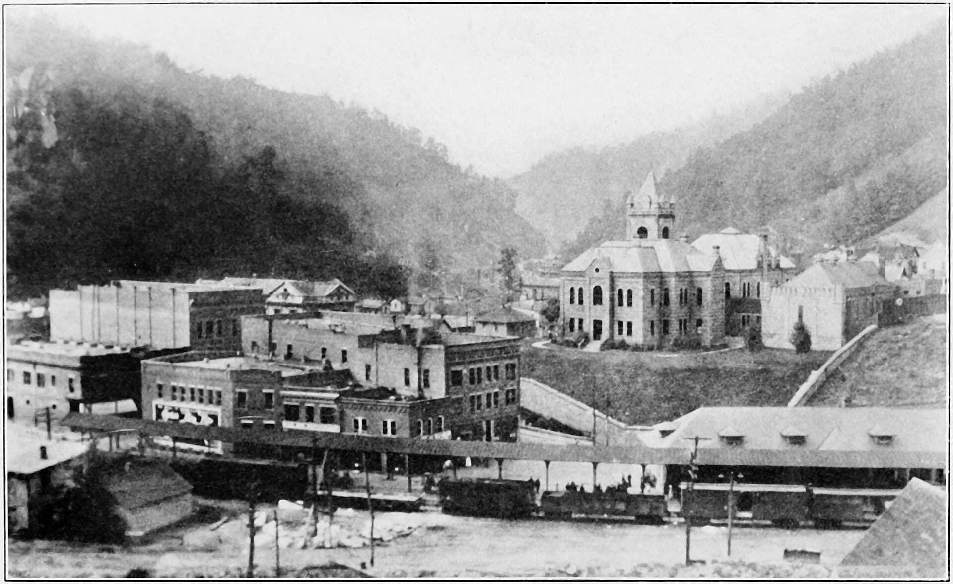
For preservation, the fire matters because it turned the surviving commercial district into a record of rebuilding as much as growth. The streets stayed in place, the county-seat function stayed in place, and the commercial pattern stayed in place even after a major downtown loss. In a town that has had to rebuild more than once, the surviving structure of the district carries as much historical value as any single storefront.
Why the historic district still carries weight
The district’s preservation status is not symbolic. Its boundary increase was listed on Dec. 14, 2018 under NRIS reference BC100003251, and the nomination places the district under National Register criteria A and C. That is the federal framework used for places tied to broad patterns of history and architecture, which fits Welch’s role as a county-seat business center shaped by rail, commerce, and coal-era development.
The larger McDowell County backdrop gives the district even more meaning. The county had about 16,900 residents in 2025, far below the population base that supported its mid-20th-century economy, and one research source says the county’s economy and population fell sharply between 1950 and 1970. That long decline makes downtown Welch one of the clearest surviving physical records of the county’s rise and contraction.
A historical marker on Welch history places the town on the National Coal Heritage Trail, which reinforces what the street pattern already shows: this is a coalfield county seat whose downtown grew because rail access, government, and commerce met in one place. Welch’s commercial district still reads as the town’s original operating map, and that is why its two streets matter far beyond their blocks.
This article was produced by Prism’s automated news system from verified source data, official records, and press releases, then run through automated quality and moderation checks before publishing. The system is built and supervised by the people who set the standards it runs under. Read our full AI policy.
Did this article answer your question?