McKinley County checkerboard land pattern shapes development planning
McKinley County’s patchwork of tribal, federal, state and private land shapes where homes, roads and businesses can go. The county’s maps and plans are the tools that turn that patchwork into buildable ground.
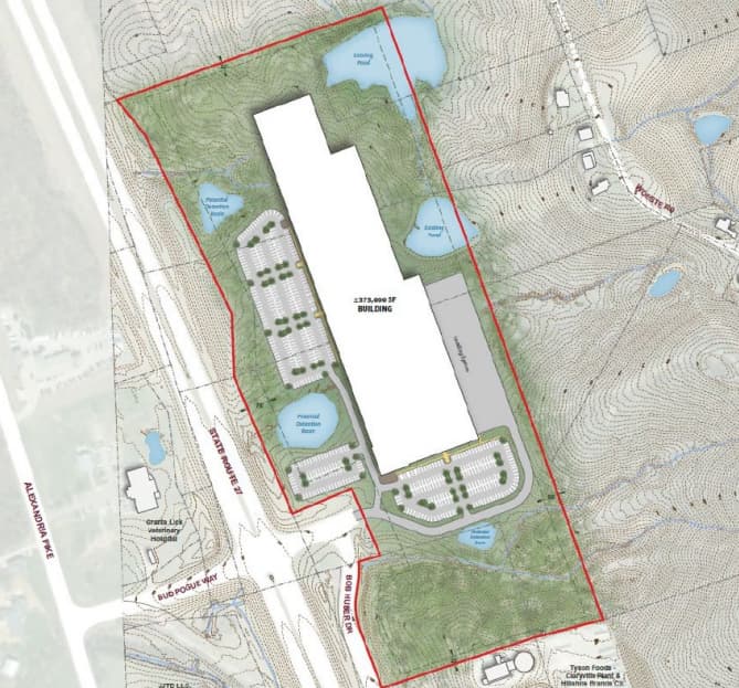
The McKinley County Industrial Park is a 40-acre site 2.9 miles north of Interstate 40 at Exit 20 via US Highway 491 and Carbon Coal Road, but in McKinley County the question is never just where the land sits. The bigger issue is who controls each parcel, who can build the access road, and which government has to sign off before utilities, rail connections or a business pad can move ahead.
How the checkerboard changes development
McKinley County uses the word “checkerboard” for a reason: land here is a mosaic of tribal, federal, state and private ownership. That pattern makes development more complicated than it would be in a county where one large jurisdiction controls a continuous stretch of land. A developer may find a site that works on paper, only to discover that access, permitting, or infrastructure crosses into a different ownership block.
That reality is built into county planning. McKinley County’s website includes a GIS Data and Documents Portal with a Land Status Map, and the Assessor’s Office is responsible for identifying, mapping and maintaining records for all taxable property in the county using Geographic Information Systems.
Why mapping sits at the center of the county’s business pitch
County Commissioners officially adopted the McKinley County Comprehensive Plan on April 8, 2003. County materials later called the McKinley County Comprehensive Plan - Phase II “an aggressive action plan for the next twenty years of development,” and in its 2018 Vision 2020 update materials the county worked with the Northwest New Mexico Council of Governments to update the plan, which those materials called a crucial planning tool.
Development in McKinley County depends on more than vacant acreage. The county’s business pages, industrial sites listings and land-status mapping all serve the same purpose: telling investors, builders and residents where a project can realistically go, which road reaches it, and whether the site is on county land or crosses into another jurisdiction.
What the pattern looks like on the ground
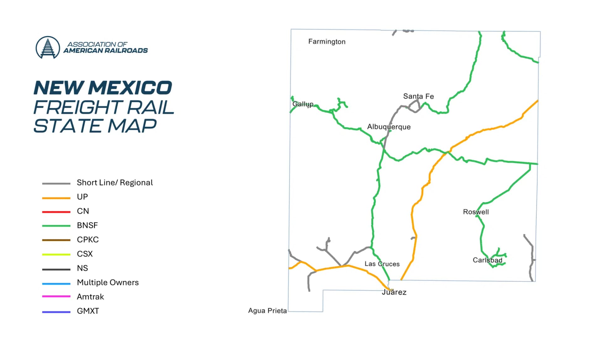
The clearest local example is the McKinley County Industrial Park. Plats are available. It sits 4.25 miles west of the Gallup Energy Logistics Park, a BNSF Certified Site served by BNSF Railway and the Southern Transcon rail line, and the Gallup Municipal Airport is 5 miles away.
Even that site depends on shared authority. A Joint Powers Agreement ties the McKinley County Industrial Park to cooperation between the City of Gallup and McKinley County before a single shovel hits the ground. The site has rail, highway and airport access for logistics and manufacturing.
Another example sits in the road system itself. A project tied to land owned by a developer in McKinley County led to a proposed $30 million, five-mile state road through a key section of his company’s 26,000 acres. One owner may control the acreage, but a public road still requires state coordination and public investment to make the land usable for jobs and commerce. Patty Lundstrom, a state representative and economic development corporation director, put the logic bluntly: “If you don’t build it, they won’t come.”
The transportation network around Gallup also shows how many jurisdictions intersect here. The US 491 and Carbon Coal Road intersection serves the City of Gallup, McKinley County, the Four Corners region and New Mexico Department of Transportation District 6, while also providing access to the Gamerco community to the northwest.
Water, roads and the authority question
The Navajo-Gallup Water Supply Project is a major federal infrastructure effort led through the Bureau of Reclamation’s NEPA process to provide municipal and industrial water supply.
Roads are just as governed by process as land is. Members of the public may suggest road projects to County Commissioners at any Commission meeting, and commissioners determine priorities for road projects.
This article was produced by Prism’s automated news system from verified source data, official records, and press releases, then run through automated quality and moderation checks before publishing. The system is built and supervised by the people who set the standards it runs under. Read our full AI policy.
Did this article answer your question?