Menominee County plan guides shoreline and water protection through 2027
Menominee County’s water plan runs through 2027, shaping shoreline permits, cost-share aid, and invasive-species control on local lakes and rivers.
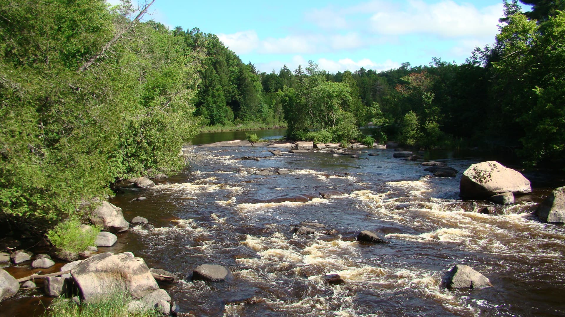
Menominee County’s Shoreland Protection Ordinance #68 governs what can be built, stabilized, or restored along the edge of a lake or river. The rules are tied to a countywide plan that decides how property owners, lake groups, tribal agencies, and county staff protect water through 2027.
A countywide plan that still sets the terms
The Menominee County Land & Water Resource Management Plan covers 2018-2027 and was approved by the Wisconsin State Land and Water Conservation Board in October 2017 and by the county board in November 2017. The plan was first developed in 2001 and updated in 2004, 2007, and 2010 before the current version was adopted.
It calls for a full review in 2022 and for the Land Conservation Committee to review and amend the work plan annually as needed. Wisconsin DATCP’s framework for county LWRM plans requires a local advisory committee, data gathering, a public hearing, and consultation with the Wisconsin Department of Natural Resources. Menominee County follows that process.
What the county pays for on the shoreline
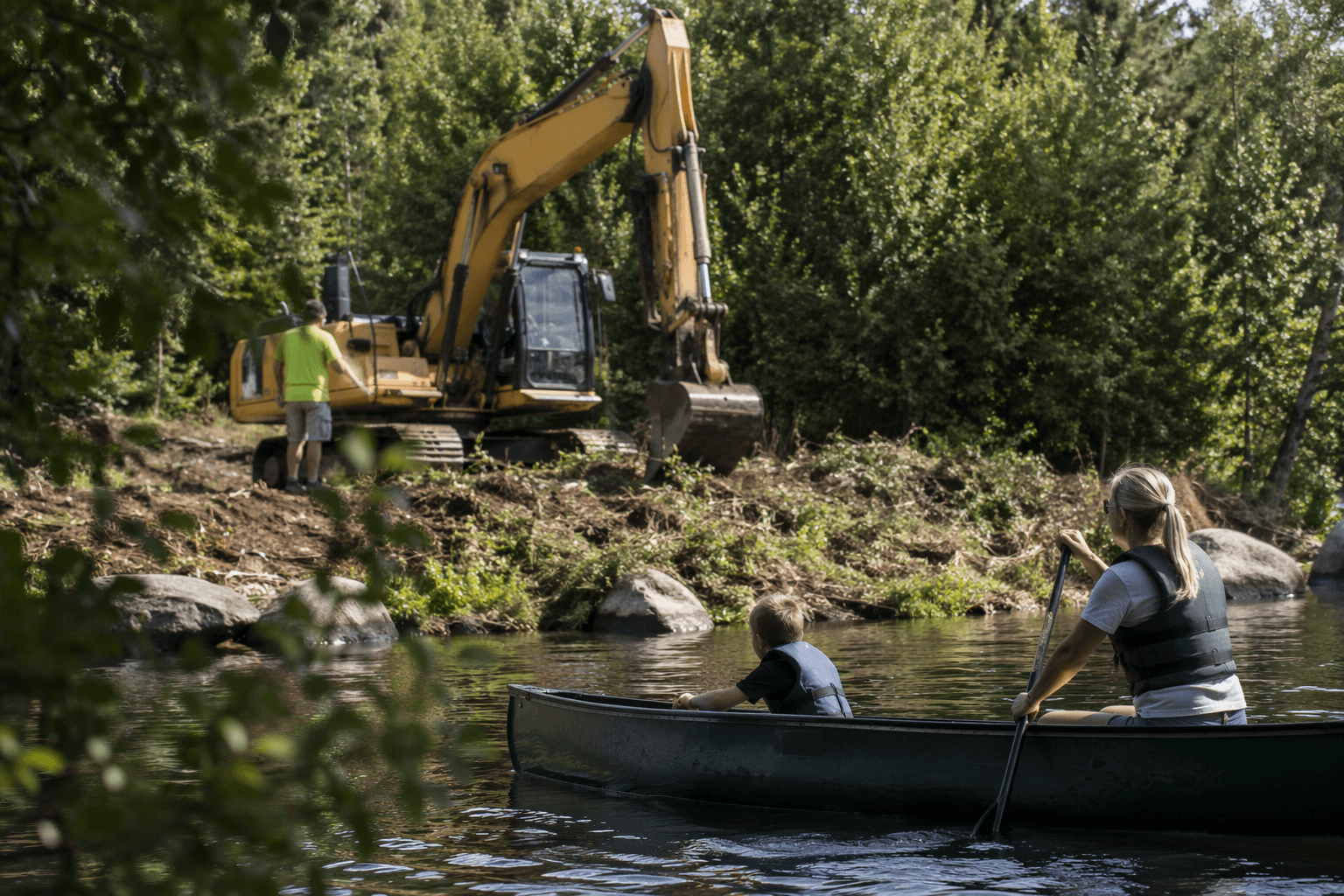
For shoreline owners, the most practical part of the plan is the cost-share system. Menominee County’s shoreline restoration program can reimburse eligible and documented costs at up to 70 percent, while hard structure such as rock rip-rap has a 50 percent maximum cost share. The program has supported shoreline stabilizations, vegetated buffers along riparian areas, and proper well abandonment.
Cost-share work is first-come, first-served, and the county may pay a contractor directly in some cases, but only after required permits and compliance checks are complete. The shoreline restoration criteria also require vegetated buffers to be at least 35 feet inland from the ordinary high water mark unless an exception is granted.
Menominee County was advertising shoreline stabilization cost-sharing by 2014.
The rules that matter before anyone builds
Menominee County’s Shoreland Protection Ordinance #68 was adopted September 22, 2016, published September 28, 2016, and amended March 18, 2025. All non-tribal lands near surface waters are regulated by that ordinance, so fill, grading, excavating, and vegetation removal within shoreland setback areas require contact with the Land Conservation and Zoning Department.
The ordinance has particular bite on Legend Lake. Boathouses there need both county zoning permission and a variance from the Legend Lake Property Owners Association. Retaining walls cannot be permitted within 75 feet of a surface water, and a 100-foot building setback once applied in the Legend Lake Zoning District from April 15, 1999 to September 28, 2016.
Lake protection is built on partnerships, not just permits
Menominee County’s land and water work depends on a network of local and tribal partners. The county’s Land Conservation Committee works with Menominee Tribal Environmental Services and with groups such as the Legend Lake Protection and Rehabilitation District, the Legend Lake Property Owners Association, the LaMotte Lake Association, and the Moshawquit Lake Association.
The county’s Conservation, Forestry, and Zoning Department handles zoning, forestry, solid waste, public education, and ordinance enforcement.
Invasive species and forest health are part of the same story
Menominee County’s invasive species management plan was approved in 2020 and applies to Menominee County/Town and Menominee Tribal lands. The county and Menominee Tribal Environmental Services also use a mutual aid agreement linking county Conservation, Forestry, and Zoning, tribal environmental services, and Menominee Tribal Enterprises.
The county’s invasive species work covers aquatic and terrestrial threats. It focuses on zebra mussels and Eurasian water-milfoil, which grows longer than native water-milfoil and can form thick mats at the surface that block sunlight from reaching native plants and microorganisms below. The county also tracks forest pests and diseases including oak wilt, gypsy moth, and emerald ash borer.
The Timberland Invasives Partnership widens that effort beyond county lines. It serves Langlade, Menominee, Oconto, and Shawano counties, plus the Menominee Nation and Stockbridge-Munsee tribes.
The river system adds another layer of accountability
Menominee County’s water story also extends to the Menominee River, where Wisconsin and Michigan share responsibility as boundary states. Fish and law-enforcement personnel from both states coordinate regulations to conserve aquatic resources.
The Lower Menominee River was removed from the Great Lakes Area of Concern list effective August 14, 2020.
This article was produced by Prism’s automated news system from verified source data, official records, and press releases, then run through automated quality and moderation checks before publishing. The system is built and supervised by the people who set the standards it runs under. Read our full AI policy.
Did this article answer your question?


