Utqiagvik zoning commission guides land-use decisions in North Slope Borough
A home addition, a new business site, or a public building in Utqiagvik can hinge on zoning before work starts. The borough’s commission, maps, and meeting calendar show where residents can weigh in.
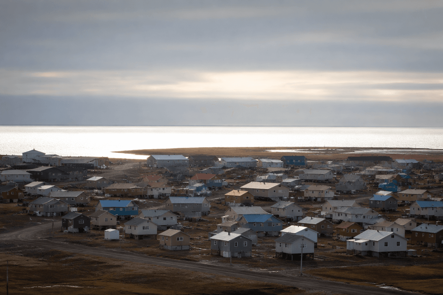
A home addition, a new business site, or a public building in Utqiagvik can hinge on zoning before any work starts. The borough’s commission page shows who sits in the room, how long each seat lasts, and how land-use decisions move through a formal local process. In a community where land is limited and development must coexist with subsistence use, erosion risk, and housing pressure, that process matters well before a project is approved.
What the zoning commission does
The Utqiagvik Zoning Commission is one of the places where North Slope Borough land-use questions get sorted before they become built reality. The borough’s Land Management Regulation Division is responsible for administering the borough’s planning and zoning ordinances, which puts zoning inside a defined system rather than leaving it to case-by-case improvisation.
That matters in practical terms. If a resident wants to add onto a house, if a business wants to open on a gravel lot, or if a public facility needs room in an existing neighborhood, zoning can shape where the project fits and what nearby uses it must respect. In Utqiagvik, those decisions also sit next to issues of subsistence access, winter conditions, and the limited amount of developable land available in town.
Who sits on the commission
The borough’s commission page lists members, their seats, and the entities they represent, giving residents a clear picture of who helps guide land-use decisions. Bernadette Fischer holds Seat A through Dec. 31, 2026, Joseph Leavitt holds Seat B through Dec. 31, 2028, and Elizabeth “Asisaun” Toovak holds Seat C through Dec. 31, 2027. Each of those seats is tied to the City of Utqiagvik.
Those staggered terms are part of what gives the commission continuity. When members rotate on different schedules, the board keeps institutional memory of local conditions, prior land-use decisions, and the neighborhood concerns that often surface again when a new project is proposed. For residents, the public roster is useful not because it is symbolic, but because it shows exactly who is involved when questions about a lot, a building envelope, or a change in use reach the zoning level.
Why zoning is tied to daily life in Utqiagvik
North Slope Borough planning materials make clear that zoning is not just a paperwork issue. The borough’s 2019 to 2039 comprehensive plan says the North Slope has a myriad of landowners and land managers, which is why land-use planning has to be coordinated. The housing chapter adds a blunt reality: communities across the North Slope and throughout Alaska struggle with safe, sanitary, available, and affordable housing.
That pressure is part of the reason zoning decisions carry weight in Utqiagvik. A project that seems small on paper can still affect parking, snow storage, access, noise, visibility, or the way a block functions during a storm or breakup season. The borough also said in a 2024 ordinance that some areas are subject to erosion and periodic flooding that can cause serious property damage, health and safety hazards, disruptions to communication and governmental services, and extraordinary public expenditures.
The climate and ground conditions around the North Slope sharpen those concerns. A 2023 KTOO and Alaska Beacon report described northernmost Alaska as being in a battle to limit damages from permafrost thaw. In a place where thaw can undermine roads, pads, and structures, zoning and development review are part of the borough’s first line of planning, not an afterthought.
Maps residents can use before a project goes forward
The borough’s maps page shows how the commission fits into a broader land-use system. It includes borough boundaries, land status, zoning district, traditional land use, and subsistence maps. That combination is important because zoning decisions sit alongside subsistence and land-status questions instead of apart from them.
For a resident checking whether a project makes sense, those maps are a practical starting point. A zoning district map can show the rules attached to a parcel. A subsistence map can show where a project may overlap with use areas that matter to hunting, fishing, or gathering. Land status and traditional land use layers help explain why a site that looks empty on a street view may still carry real community significance.
When the commission meets
The borough has also made the commission’s rhythm public, which gives residents a way to follow a proposal before it is locked in. North Slope Borough published Utqiagvik Zoning Commission meeting dates for Feb. 8, April 11, June 13, Aug. 8, Oct. 10, and Dec. 12, 2024. It then published 2025 meeting dates for Feb. 13, April 10, June 12, Aug. 14, Oct. 9, and Dec. 11.
For 2026, the schedule says the Utqiagvik Zoning Commission meets on the second Thursday every other month. North Slope Borough Planning and Community Services Director Chastity Olemaun issued the public notice for that 2026 schedule, which covered both the Planning Commission and the Utqiagvik Zoning Commission. That regular cadence gives residents multiple chances to track a proposal before a final decision point arrives.
How the borough’s planning framework evolved
The zoning commission page sits inside a larger planning history that has changed over time. North Slope Borough says its first comprehensive plan was adopted in 1983 and last updated in 2005 before the 2019 to 2039 plan replaced it. More recently, the borough adopted the Utqiagvik Comprehensive Plan 2025 to 2045 on July 8, 2025.
That plan was approved through several formal steps: North Slope Borough Assembly Ordinance #75-06-64A, Planning Commission Resolution 2025-09, Utqiagvik Zoning Commission Resolution 2025-02, and Utqiagvik Trilateral Resolution 2025-01. The sequence shows how land-use policy in Utqiagvik moves through a layered process, with borough-wide rules, local review, and official resolutions all feeding the same decision structure.
For Utqiagvik residents, the practical takeaway is straightforward: zoning is where a project meets the community before it meets the ground. Whether the issue is a house expansion, a business site, or a public facility, the commission, the maps, and the borough’s planning schedule are the places where the shape of the town is decided in advance.
This article was produced by Prism’s automated news system from verified source data, official records, and press releases, then run through automated quality and moderation checks before publishing. The system is built and supervised by the people who set the standards it runs under. Read our full AI policy.
Did this article answer your question?