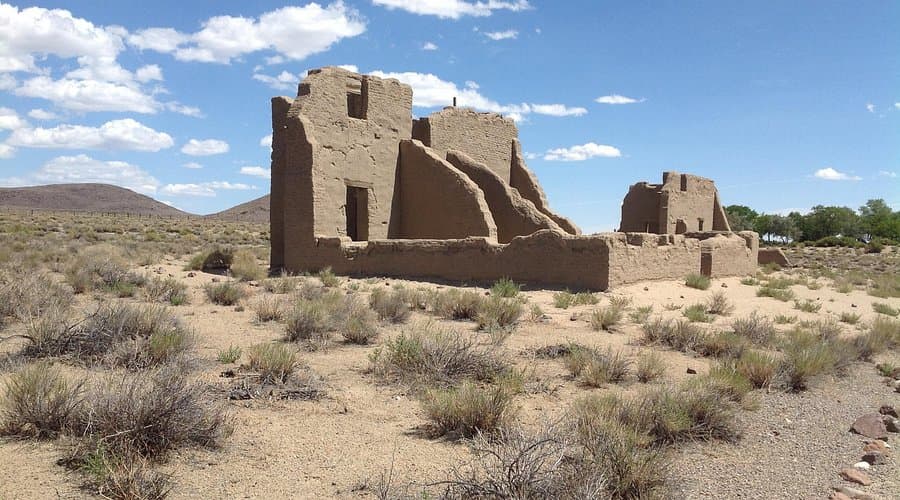
Active Area 12 Fire tracked in Nye County, officials monitor spread
The Area 12 Fire was listed active in Nye County with no acreage posted yet, as officials tracked a developing blaze that could affect remote roads and smoke conditions.
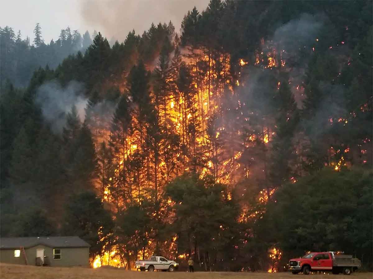
The Area 12 Fire was listed as active in Nye County after Watch Duty said WildCAD created the incident at 7:42 p.m. July 23, and the live map had been updated about three hours before the snapshot. The public-facing page did not yet list acreage or containment, which meant the fire was still being assessed as crews and dispatchers kept it moving through the standard wildfire information pipeline.
For Nye County, that matters well beyond the map pin. Fires on open desert or military-adjacent land can shift fast when wind and dry fuels line up, and even a fire far from a town center can bring smoke, low visibility and access problems on county roads. Residents in Beatty, Tonopah and the county’s rural valleys often depend on those live incident pages because the nearest briefing can be many miles away.
The timing also fit a fire season that state and federal officials had already flagged as risky. On May 21, Nevada state leaders held a wildfire outlook briefing with the Nevada Division of Forestry, the U.S. Forest Service and the Bureau of Land Management. A Predictive Services report later said much of eastern Nevada would have above-normal fire potential in July, while the Bureau of Land Management’s Nevada fire prevention order took effect May 1 and Southern Nevada Stage 1 fire restrictions began May 29.
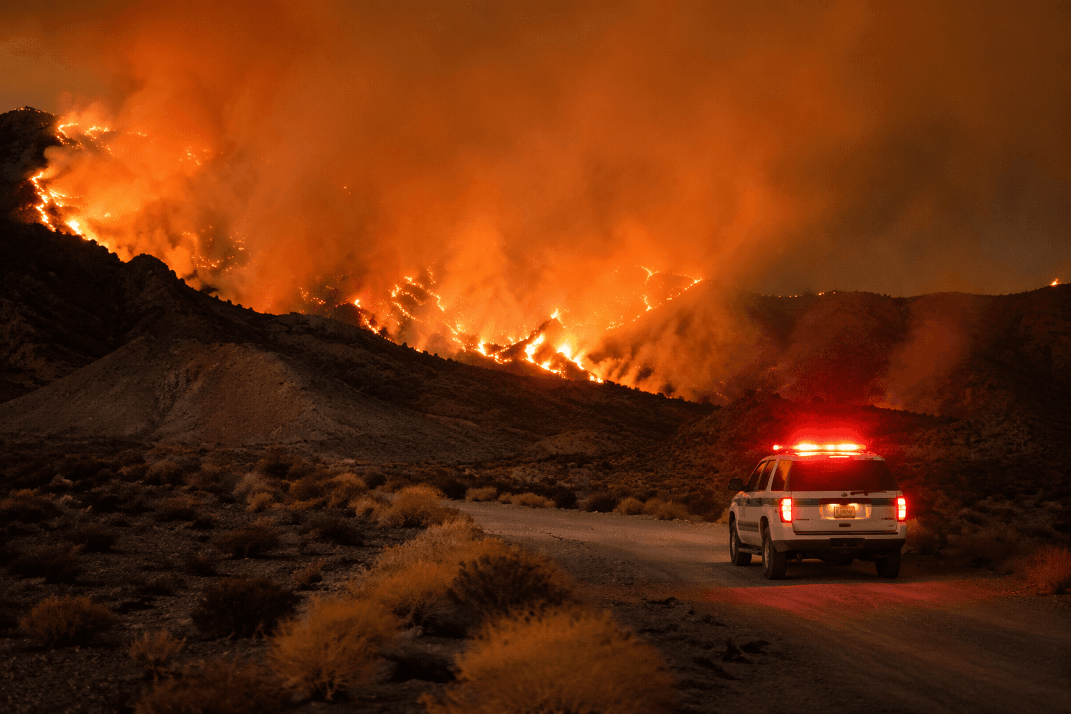
Those warnings were not abstract in Nye County. Last year’s Gothic Fire on the Nevada Test and Training Range showed how quickly a remote blaze can grow, with reports placing it first at about 8,000 acres and later at 35,725 acres, while another account put it above 36,000 acres. One report said it was the largest fire so far in Nevada that year, and the restricted military land was off-limits to the public.
The Area 12 Fire had not yet reached that scale on the public map, but the lack of posted acreage or containment figures meant managers were still watching it closely. In a county built around long distances, sparse infrastructure and wide-open terrain, that early notice can determine whether a road stays open, a ranch road gets cut off or a recreation trip turns around before conditions worsen.
This article was produced by Prism’s automated news system from verified source data, official records, and press releases, then run through automated quality and moderation checks before publishing. The system is built and supervised by the people who set the standards it runs under. Read our full AI policy.
Did this article answer your question?