Booneville spotter class canceled, affecting severe-weather preparedness
The National Weather Service canceled Thursday’s Booneville spotter class, leaving Owsley County one less chance to sharpen severe-weather reporting skills.

A National Weather Service page for Booneville says Thursday’s spotter class was canceled, cutting off one local chance for Owsley County residents to learn how to recognize and relay severe weather. The missed session matters because spotter training sits inside the warning chain that helps communities identify hail, damaging wind, heavy rain, flooding and tornado development before radar alone tells the whole story. In a rural Appalachian county where storm communication and flood awareness can be harder to maintain, that training has direct public-safety value.
NWS Jackson’s East Kentucky SKYWARN material describes spotters as trained volunteers who report directly to the National Weather Service, and NWS Paducah says those reports supplement Doppler radar on severe storms and tornadoes. NWS Louisville says spotter presentations usually cover identifying and reporting severe weather, severe-weather safety, severe-weather climatology and thunderstorm types and threats, and the training runs about 60 to 120 minutes. Joe Warren, KB9LXH, prepared East Kentucky SKYWARN and Amateur Radio Program material for NWS Jackson, showing how amateur radio volunteers fit into the same reporting network.
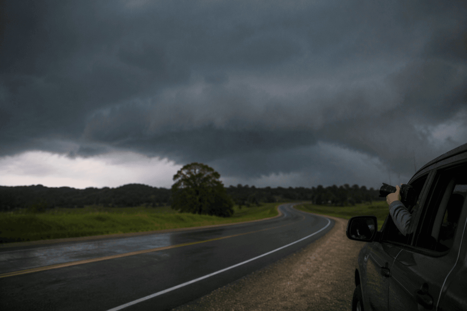
For Owsley County residents looking for another official path, NWS Louisville’s spotter training page points to online Skywarn training tailored to severe storm spotting in the Ohio Valley. That keeps the county connected to the larger Weather-Ready Nation system even when a local class does not go forward as planned.
The cancellation also landed in the middle of broader hazardous-weather messaging. NWS Jackson weather pages referenced dangerous heat and Tropical Storm Bertha impacts in the surrounding material, a reminder that summer weather can stack threats. Heat is especially dangerous for older adults, children, outdoor workers and households without reliable cooling, while severe storms can turn roads and low-lying areas into sudden hazards.
The county’s archive shows why those warnings matter. NWS Jackson has a summary of severe flash flooding that affected Owsley, Breathitt, Floyd and Pike counties on May 8-9, 2009, a historic eastern Kentucky flooding page for July 26-30, 2022, and a Feb. 6, 2025 event page that described inclement weather including a brief morning tornado in Rockcastle County and then Owsley County. Those records underline the same point the Booneville notice raises: in Owsley County, one canceled class means one fewer opportunity to prepare the volunteer reporting network that helps neighbors stay ahead of the next storm.
This article was produced by Prism’s automated news system from verified source data, official records, and press releases, then run through automated quality and moderation checks before publishing. The system is built and supervised by the people who set the standards it runs under. Read our full AI policy.
Did this article answer your question?