Booneville wins $10,000 grant for QR signs to guide visitors
Booneville got $10,000 to install QR signs that could help visitors find downtown stops, trails and businesses. The city must match the money and finish the project within six months.

Finding the courthouse, a river access point or a downtown lunch stop in Booneville can still take local knowledge, and a new $10,000 grant is meant to make that easier for people who do not already know the county seat. The City of Booneville won the Appalachian Regional Commission mini-grant for the Backroads Smart Path initiative, a QR-based signage system designed to steer visitors to cultural and natural attractions across Booneville and Owsley County.
The project was one of five funded in the latest round, a sign that Booneville had to compete for a limited pool of regional development money. Under the program, the grant can cover up to $10,000, requires a 20 percent match and must be completed within six months, which means the city will need to move quickly from planning to installation if it wants residents and visitors to see the signs this year.

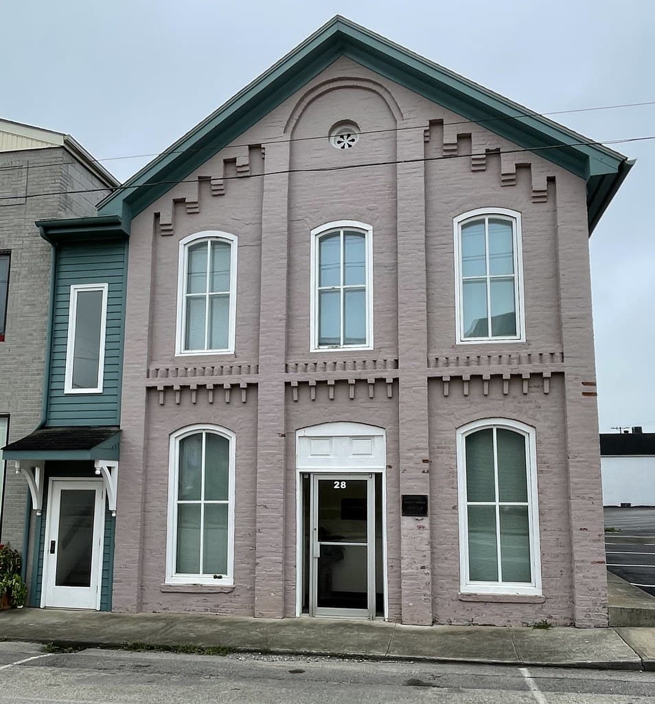
Booneville’s geography makes the idea practical. The city sits at the junction of Kentucky Route 11 and Kentucky Route 30 on the South Fork of the Kentucky River, and the Owsley County Courthouse stands at 20 Main St. in Booneville. The county seat also carries the weight of local history, having become the seat when Owsley County was formed on May 20, 1844. In a county of 4,051 people in the 2020 census, and an estimated 3,932 as of July 1, 2025, even small improvements in wayfinding can shape where visitors stop and how long they stay.
The clearest places for the new signs are Booneville’s most visible public and visitor-facing spots, especially the courthouse block, downtown streets, access points tied to the South Fork, and routes leading toward outdoor destinations and local attractions. The project is aimed at helping people find places without relying on chance or a local map, which matters in a county where visitors may come for a quick courthouse stop, a festival, a trail access point or a meal, then decide whether to keep exploring.
The QR format also gives Booneville more flexibility than static signs alone. City leaders can update directions and attraction lists without replacing every sign whenever a business opens, closes or moves. That could matter for tourism stops tied to Daniel Boone National Forest, which spans more than 708,000 acres across eastern Kentucky, and for Owsley County attractions such as canoeing and tubing on the South Fork of the Kentucky River and the Abraham Lincoln Relief Sculpture.
OCARE Inc., the Owsley County Alliance for Recreation & Entertainment, says it partners with the City of Booneville, the Owsley County Fiscal Court and the Owsley County School District, and its tourism pages promote events including Boo-Fest, the Fourth of July and Light Up Booneville. That gives the new system a ready-made use beyond static sightseeing, since the signs could help direct people to recurring events as well as permanent sites.
The test for Booneville will be simple: whether the signs help visitors move from the highway into town, find the places they meant to see and spend more time at local stops. If the QR system does that within its six-month window, the grant could become a practical tool for a small county seat trying to turn better directions into more local traffic.
This article was produced by Prism’s automated news system from verified source data, official records, and press releases, then run through automated quality and moderation checks before publishing. The system is built and supervised by the people who set the standards it runs under. Read our full AI policy.
Did this article answer your question?