Repeated rain triggers flood alerts across Owsley County
Repeated flood alerts kept Owsley County’s creek bottoms and low-lying roads on edge as heavy rain returned to Ammie, Oneida and other hollows.
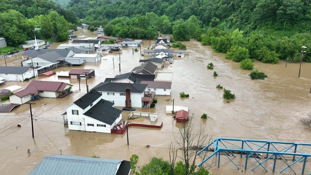
Low-lying roads, creek bottoms and roadside culverts across Owsley County stayed on alert as rounds of heavy rain kept moving through southeast Kentucky, with communities from Ammie and Oneida to Laurel Creek, Barcreek, Wild Cat and Sextons Creek listed in flood products. A July 12 advisory for Owsley, Clay and Perry counties said minor flooding was ongoing or expected to begin shortly in poor-drainage and low-lying areas, after the hardest-hit spots had already picked up 1 to 1.5 inches of rain and could still see up to another inch. It warned that runoff could push water into small streams, creeks, roads and roadside culverts, the places residents watch first when the ground stays saturated.
The alerts did not come in isolation. National Weather Service products showed flood watches on July 9, July 10, July 11 and July 12 as successive waves of rain moved through the region. The watch that covered Owsley County was part of a larger area stretching across much of eastern and southeast Kentucky; it was set to run until 2 a.m. EDT Monday, July 13, before being cancelled on the evening of July 12. The Jackson forecast office said showers and thunderstorms with heavy rainfall would continue at times and that localized flash flooding remained possible through that evening.
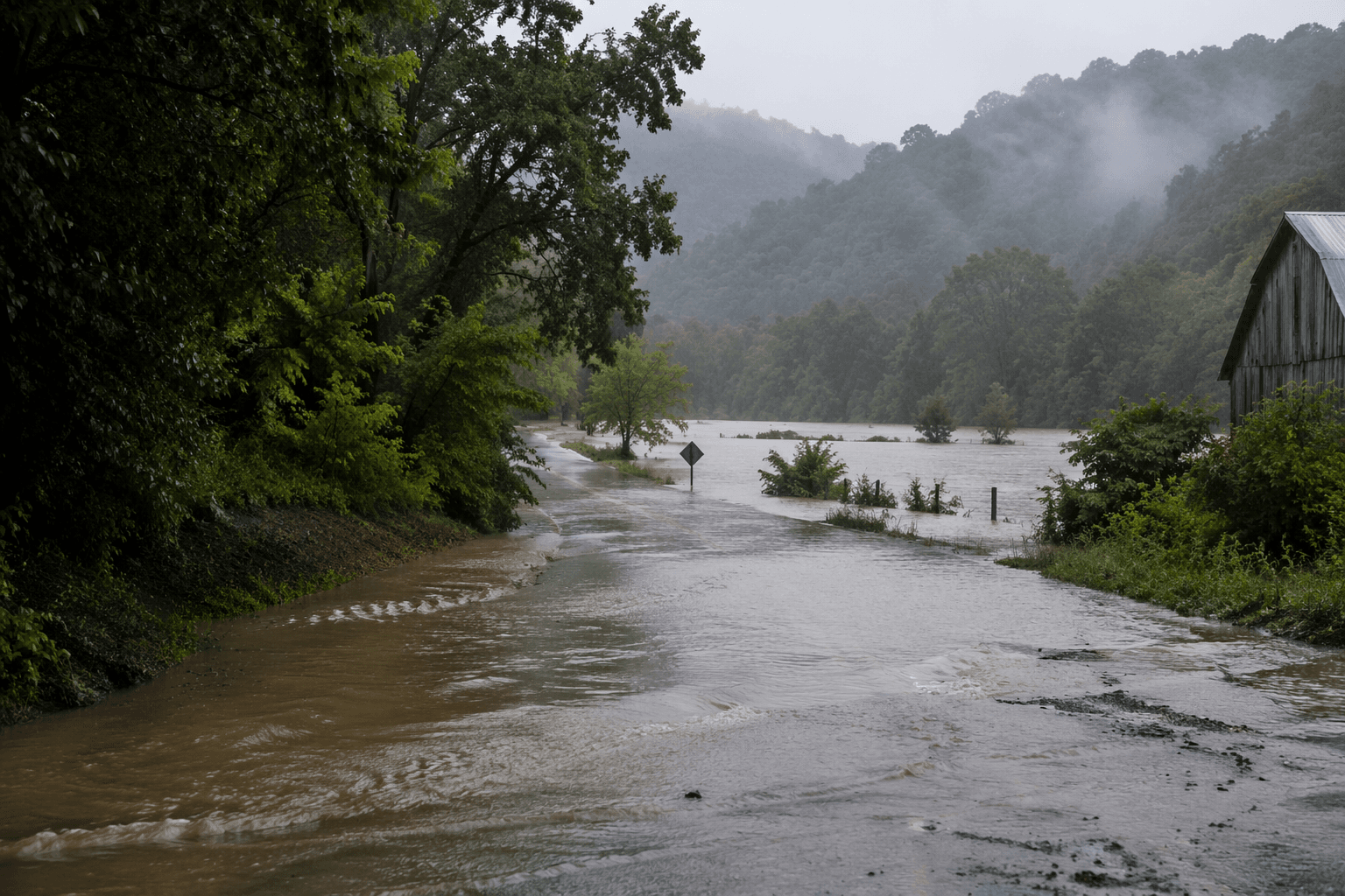
The repeated notices mattered because Owsley County’s transportation network is thin and terrain-driven. Kentucky Transportation Cabinet District 10, based in Jackson, is responsible for state highways in Owsley and nine neighboring counties, so even minor flooding can disrupt the routes people use for school runs, work trips and emergency calls. The Kentucky Flood Hazard Portal also notes that flood risk varies by location and can change from one address to the next, which is why creek hollows and low spots can flood while nearby ridges stay dry. A July 10 zone page from the Jackson office had even carried a drought statement, underscoring how fast conditions flipped from dry to flood-prone.
The county’s July alerts also landed against a painful recent memory. The National Weather Service’s assessment of the July 25-30, 2022 eastern Kentucky flood said the event killed 43 people and dropped an estimated 14 to 16 inches of rain over five days, including 13.21 inches in 48 hours. Owsley County has 13 FEMA disaster declarations on record, with the most recent listed as May 9, 2023. That history helps explain why repeated flood watches and advisories, even when labeled minor, carry outsized weight across the county’s hollows, creek crossings and mountain roads.
This article was produced by Prism’s automated news system from verified source data, official records, and press releases, then run through automated quality and moderation checks before publishing. The system is built and supervised by the people who set the standards it runs under. Read our full AI policy.
Did this article answer your question?