Public gauge at Marks tracks Coldwater River flood risk
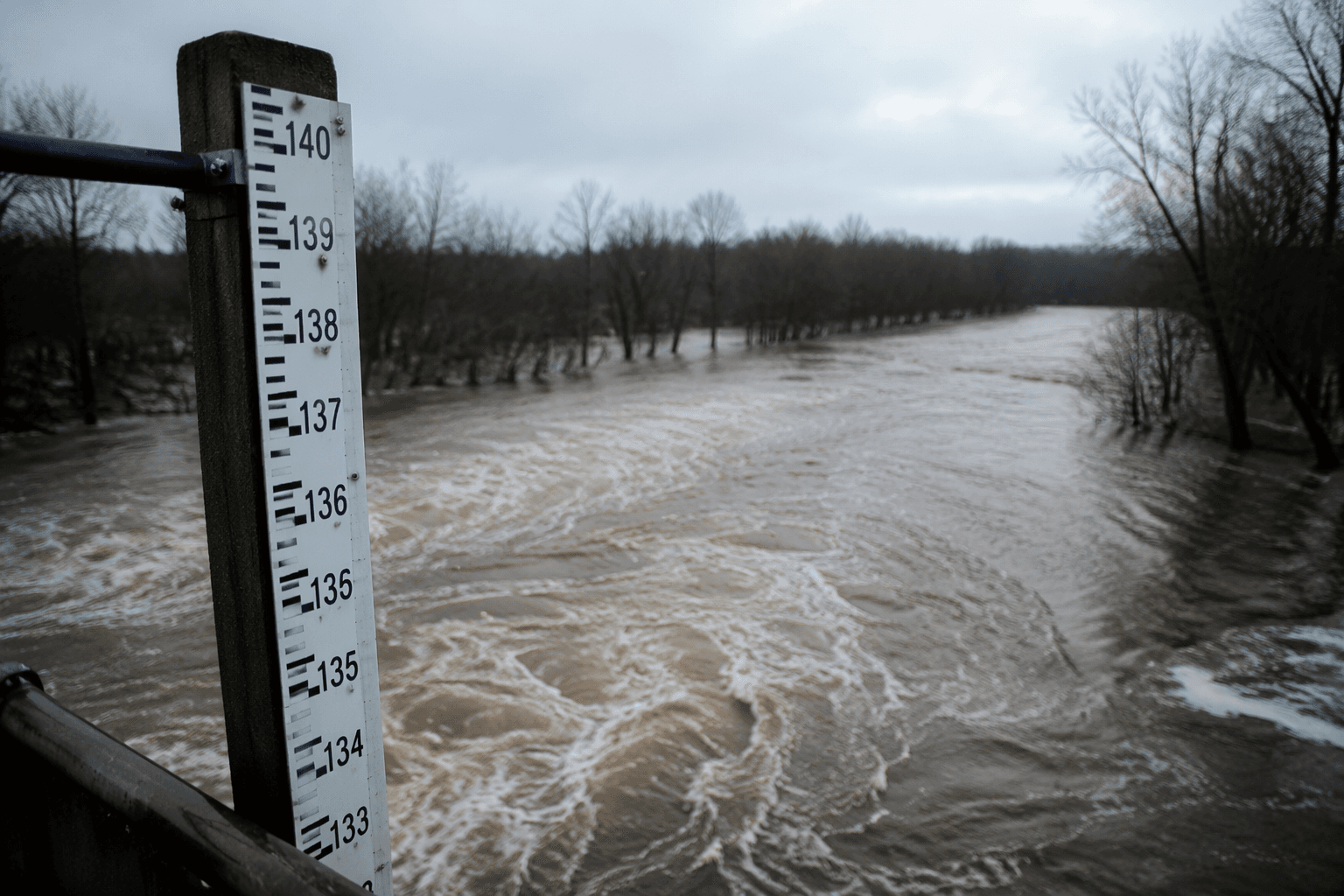
The Marks gauge showed the Coldwater River at 138.36 feet on July 16. For Quitman County, it is a live warning on roads, homes and farmland.
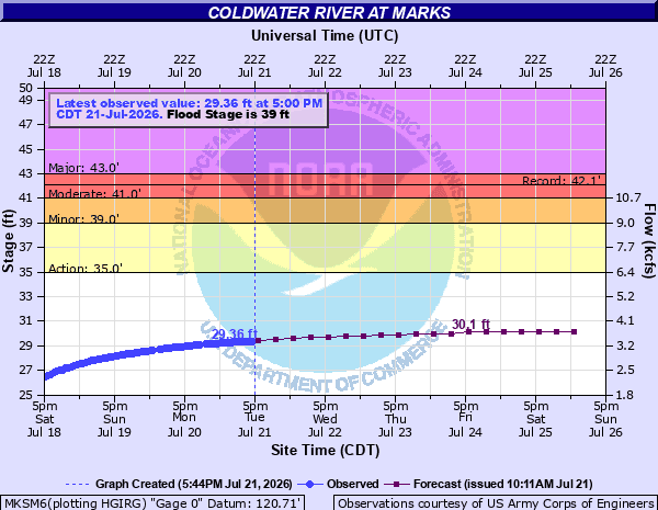
The U.S. Army Corps of Engineers page for the Coldwater River at Marks listed the river at 138.36 feet on July 16, giving Quitman County a real-time reading on one of its most flood-prone waterways. The same station also appears on NOAA’s National Water Prediction Service, placing Marks inside a public hydrology network that residents can check before storms, road trips or work in low-lying areas.
For people living near the river corridor, the gauge is more than a number on a screen. A rising reading can signal trouble for county roads, farm fields and homes that sit close to the water. A falling reading can show that conditions are easing, but not necessarily that danger has passed. The point is visibility: families can watch the river trend instead of waiting for a knock on the door or a report from down the road.
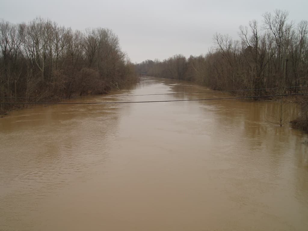
Quitman County has seen what Coldwater River flooding can do. In February 2020, floodwater closed as many as 22 county roads, and Wanda Bailey’s mobile home near Marks was surrounded by floodwater. Another report from that same flooding described homes under threat and noted damage to farmland near Marks, including property belonging to Frank Gurley. Those are the kinds of events that make a public gauge useful for deciding when to move vehicles, check drainage ditches and keep a closer eye on travel routes.
The county’s hazard mitigation planning treats flooding as a standing concern. Quitman County’s Hazard Mitigation Plan covers the City of Marks as well as Crowder, Falcon, Lambert and Sledge, showing how widely river flooding can affect daily life across the county. In April 2025, high water from the Coldwater River near the Quitman County jail was serious enough that levee construction began, with water levels said to be high enough that flooding could continue until April 14.
NOAA’s gauge page also points users to Flood Inundation Mapping services, adding another layer of public safety information for residents and local officials who need to know which areas are most exposed as water rises. For Marks and the rest of Quitman County, the gauge at the river is one of the clearest public tools for watching risk in real time.
This article was produced by Prism’s automated news system from verified source data, official records, and press releases, then run through automated quality and moderation checks before publishing. The system is built and supervised by the people who set the standards it runs under. Read our full AI policy.
Did this article answer your question?