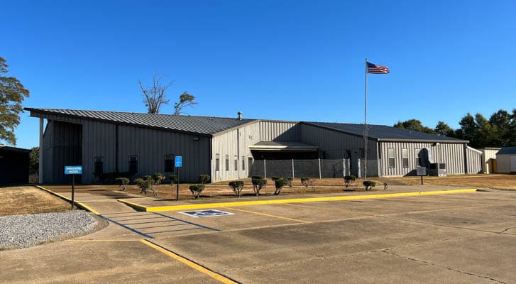
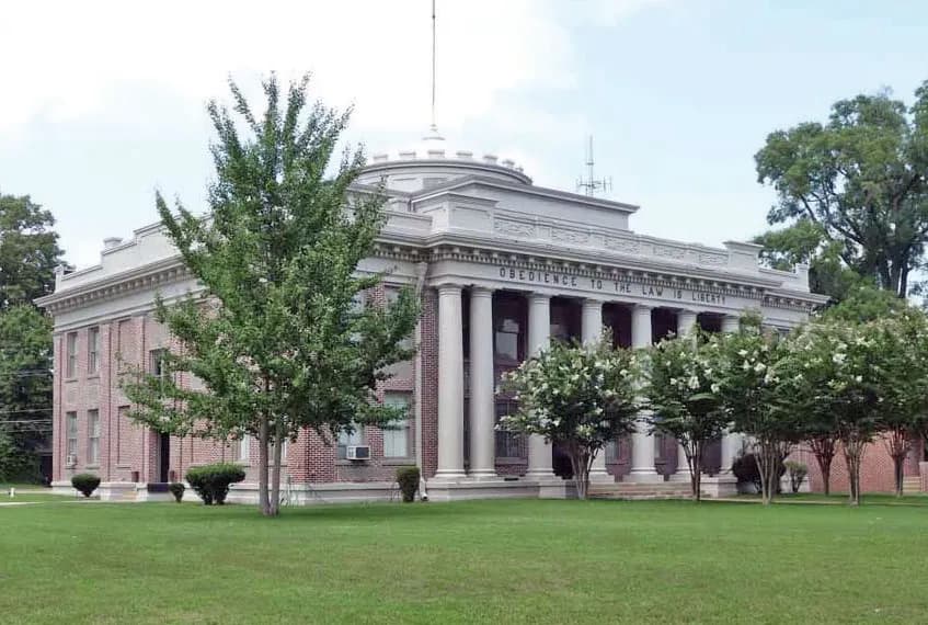
Riverside Road project aims to cut flooding and improve access
Riverside Road’s flood fixes are designed to protect homes, keep traffic moving, and strengthen the corridor that links Marks, Lambert, and Highway 322.
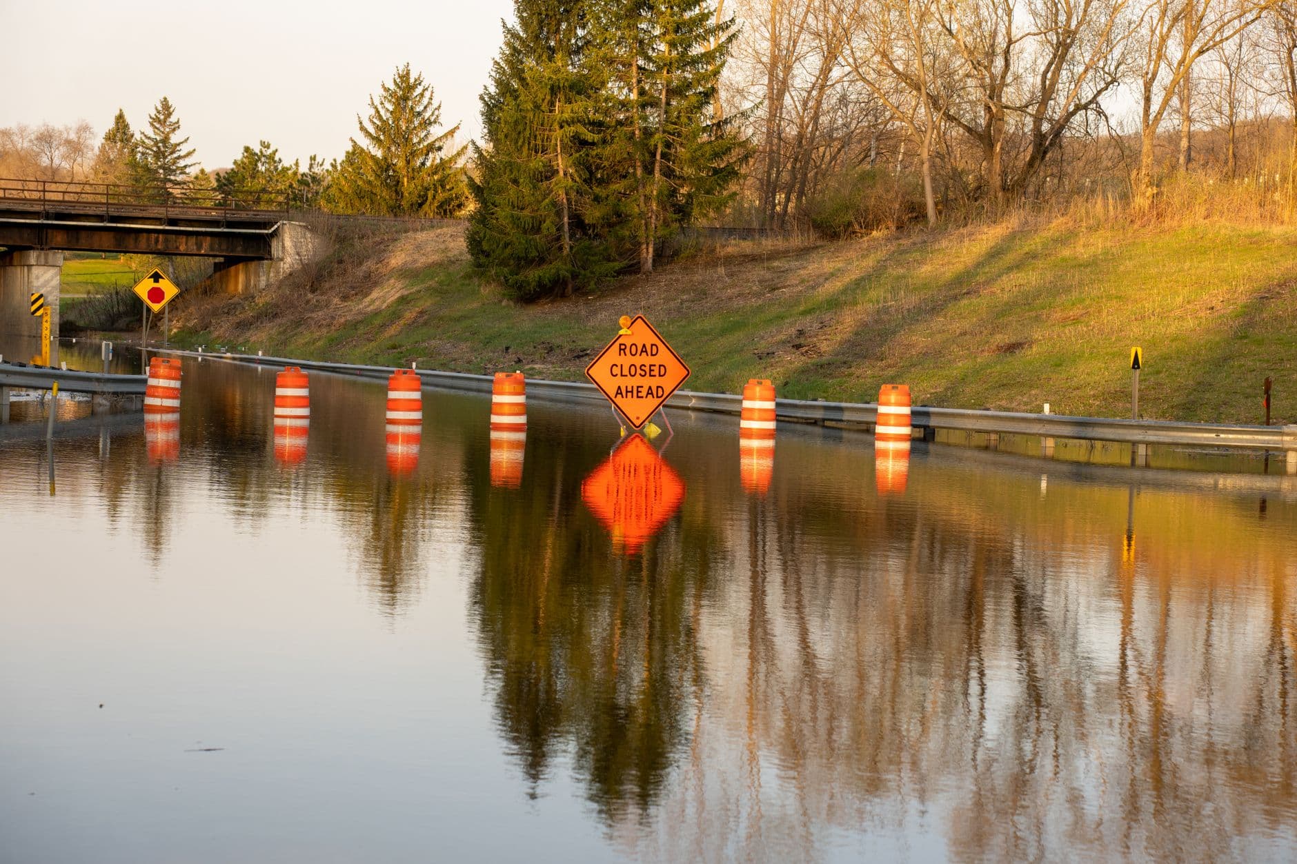
The 5.3-mile stretch of Riverside Road ties Marks and Lambert together, with the Coldwater River running parallel and tight to the east side for most of its length. When the river rises, the road becomes a test of whether families can reach work, school, freight routes, and emergency services without the county’s geography getting in the way.
A road built beside the river
Riverside Road sits in a flood-prone corridor hit by annual spring flooding. Support letters for the project describe levees and pumps added over the years, but those fixes never fully solved the problem. The City of Marks backed the work as a way to address severe annual flooding, while Congressman Bennie Thompson described the route as a major thoroughfare connecting Marks and Lambert, with the Coldwater River adjacent to much of the road’s east side.
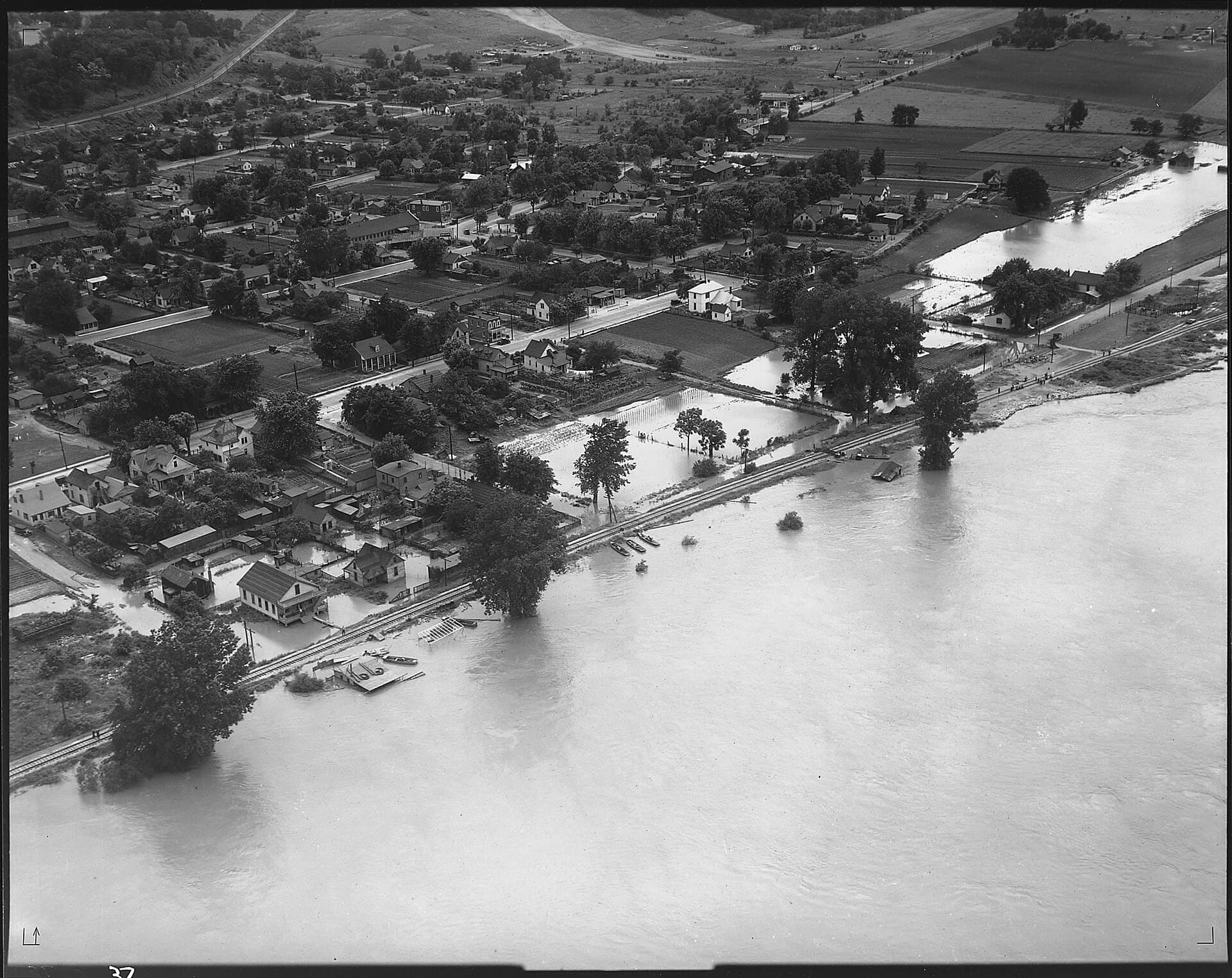
At the Marks gauge, 39 feet is flood stage, and 41.5 feet means much of northern Quitman County is flooded. That kind of water level interrupts school routines, slows commuters, and cuts off local movement just when people need reliable access most. Along Riverside Road, the issue is not only water on the pavement but the longer-term threat of property loss, displacement, and repeated damage that makes a road more expensive to maintain year after year.
What the project is meant to change
The project is intended to prevent future flooding, property loss, and displacement of families, while also reducing road-maintenance costs. It also aims to create a safer route to State Highway 322, which matters in a county where side roads and two-lane connectors carry much of the daily traffic.
The schedule laid out separate steps for engineering, utility coordination, drainage review, right-of-way work, paving, striping, landscaping, and final inspection. In the April 2022 schedule, the notice of award was targeted for October 2022, engineering for December 2022, construction for March 2024, and final inspection for June 2025. The plan also set a 200-acre drainage area.
Why this corridor matters for daily travel
Quitman County covers about 400 square miles, and its transportation grid has to do the work that bigger metropolitan systems spread across interstates and multiple bypasses. The county is crossed by the Coldwater, Big Tallahatchie, and Little Tallahatchie rivers, while Mississippi Highways 3 and 6 meet in Marks and the Illinois Central Gulf railroad runs the length of the county.

The county’s industrial park is accessible by freight rail and trucking, and FURR Industrial Park in Marks offers 39 acres. The county’s road network is built around two-lane highways 3, 6, 316, and U.S. Highway 278, so any dependable connector that keeps people moving toward Highway 322 also helps connect them to the wider transportation system that carries goods in and out of the county.
Better access helps the Quitman County School District and reduces the risk that a weather event turns a normal trip into a detour or a missed day. It also matters for workers who need to reach jobs in and around Marks, Lambert, and the county’s industrial sites without depending on a route that floods every spring.
The workforce piece is part of the road story
The county has a vocational school and a Quitman County Empowerment Career Center, where local classes include welding, electricity, building trades, forklift driving, and GED prep. Those programs are most useful when people can actually get to them reliably, whether they are coming from Marks, Lambert, or a rural area along the Coldwater corridor.
A road that stays open and needs less repeated repair keeps local hauling simpler, whether the trip is to a repair shop, a farm supply store, a job site, or a freight connection.
A county where history and infrastructure overlap
Quitman County is part of the Mississippi Delta National Heritage Area. Marks Downtown Historic District is a cohesive collection of early- to mid-20th-century commercial, agricultural, transportation, and governmental buildings. The Y&MV Train Depot, built in the early 1900s, links Marks to the Yazoo and Mississippi Valley Railroad, and the county’s history also includes the 1968 Poor People’s Campaign Mule Train and the Mule Train Interpretive Trail.
Trains, roads, and river crossings have determined where people could work, trade, gather, and travel. In the 2020 Census-based hazard mitigation plan, the median age was 38.7 in 2020 and Black residents made up almost 71 percent of the population.
This article was produced by Prism’s automated news system from verified source data, official records, and press releases, then run through automated quality and moderation checks before publishing. The system is built and supervised by the people who set the standards it runs under. Read our full AI policy.
Did this article answer your question?