Days Ferry in Woolwich preserves a rare ferry-linked village landscape
Days Ferry still reads like a river village: a ferry-shaped street pattern, old homes, and Kennebec landing traces anchor Woolwich’s identity.
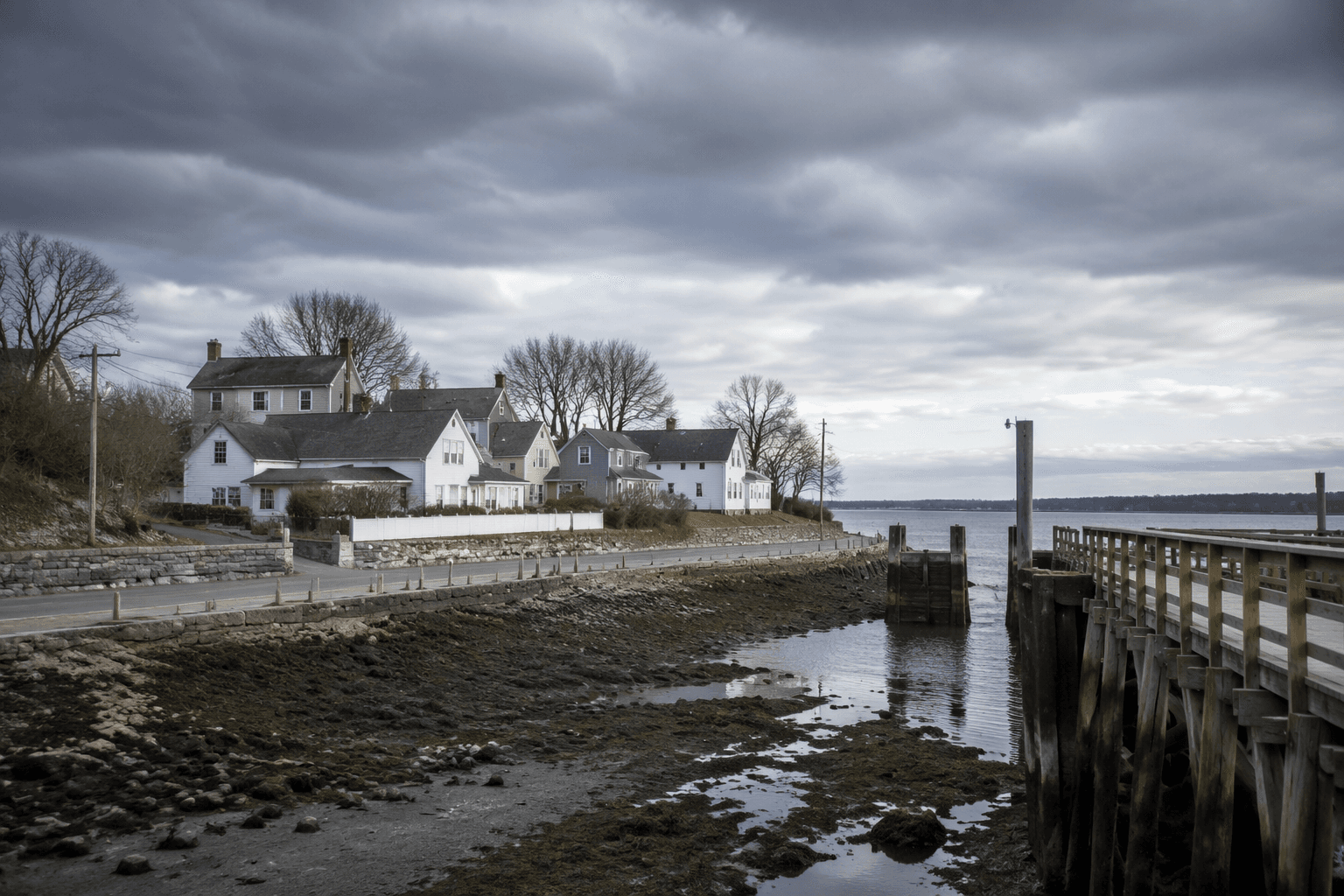
Days Ferry is one of those places where the landscape explains the village before any sign does. In Woolwich, the Days Ferry Historic District still preserves the form of a community that grew around a ferry crossing on the Kennebec River, and that original connection to water is still visible in the way the district sits along River Road and Old Stage Road. The area’s value is not just that old buildings remain, but that the whole setting still reads as a rural village tied to river travel.
The Maine Historic Preservation Commission describes Days Ferry as an intact rural late eighteenth- and early nineteenth-century village, and that description captures why the place matters to residents and weekend explorers alike. You can still see the logic of settlement in the spacing of homes, the persistence of rural roads, and the village pattern that follows the old transportation route. In a county where so much local history has been absorbed into later development, Days Ferry remains legible as a working map of how a small Kennebec-side community formed.
How to read the village landscape
The district’s National Register of Historic Places listing, under the name Days Ferry Historic District, places it at River and Old Stage Roads in Woolwich and includes mapped boundaries and coordinates in the federal nomination record. That location matters because it keeps attention on the relationship between road and river rather than on a single isolated building. The district’s layout still reflects the old sequence of movement: reach the river, use the crossing, and organize daily life around that connection.
For anyone looking to see what survives, the most telling feature is the overall pattern rather than one landmark. The district’s rural scale, the alignment of historic roads, and the scattered houses together preserve the sense of an earlier settlement built for a ferry landing. That is why Days Ferry remains useful as a guide to early Maine village form, not just as a preserved streetscape.
Why the ferry story still shapes Woolwich
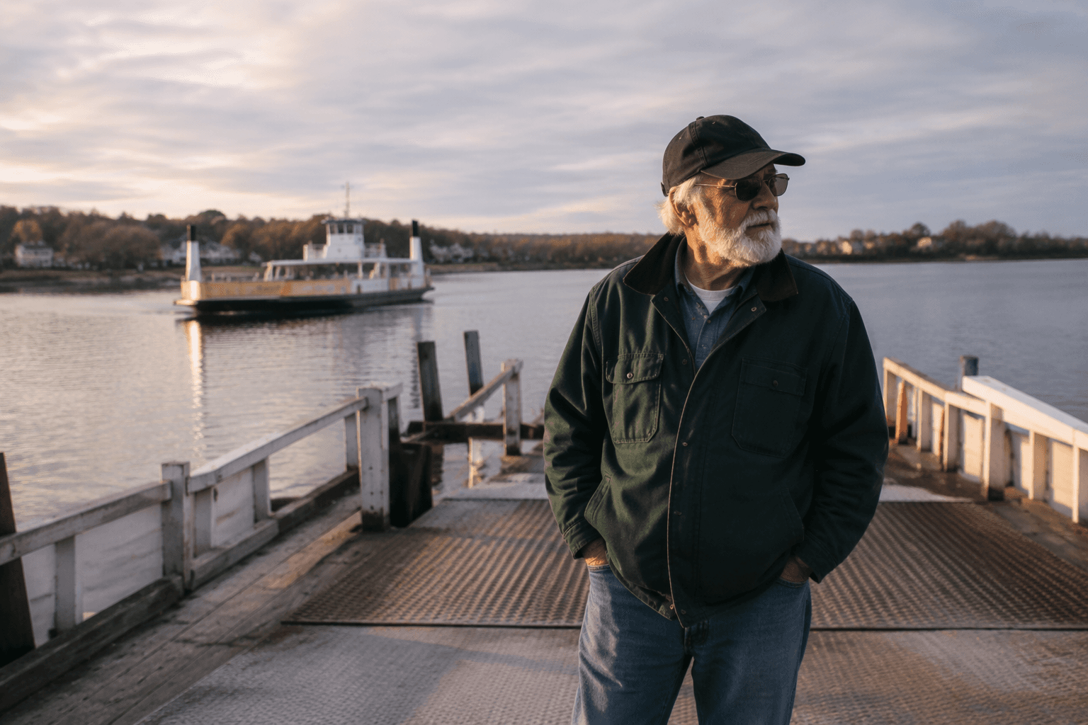
Days Ferry is part of a broader Kennebec River ferry history that once governed travel for generations. Transportation history sources note that ferries were once a primary mode of travel along the river, and a later feature in the Portland Press Herald / Times Record said ferries ruled transportation on the Kennebec River from the mid-1700s into the 1920s. That long run helps explain why a village like Days Ferry took root where it did and why the settlement pattern still makes sense today.
Before bridges and modern highways took over, a ferry crossing determined where people lived, where farms sat, and how goods moved between river and road. Days Ferry keeps that older geography visible. The district is a reminder that transportation history is not abstract in Woolwich; it is embedded in the shape of the village itself, in the route to the river, and in the way the local road network still echoes the crossing.
Historic evidence that the place was busy, not symbolic
The documentary record around Days Ferry adds another layer to what visitors can see today. The National Register nomination cites William Avery Baker’s *A Maritime History of Bath* from 1973, W.A. J. Coolidge and J.B. Mansfield’s *A History and Description of New England* from 1859, and Margaret H. Jewell’s 1932 article, “The Corliss Pottery at Woolwich, Maine.” Those references show that Days Ferry has been studied as part of the larger history of the Kennebec region, not treated as a local curiosity in isolation.
The visual record reinforces that point. A Maine Memory Network image dated circa 1910 shows A.B. Thwing’s Store at Days Ferry in Woolwich, while another circa 1910 image shows a railroad station and ferry landing in Woolwich. Taken together, those images underline how the area once linked river and rail transport. They also give modern viewers a useful clue: this was not a backwater, but a place where movement, trade, and daily errands converged.
Why preservation here feels especially concrete
Days Ferry matters in preservation work because its significance lies in setting, materials, and overall feel as much as in individual structures. The district is valuable because it preserves the scale and rhythm of a small ferry village, where the landform, roads, and houses still describe an older way of living along the Kennebec. That is different from saving a single house on a modern street; here, the entire landscape helps tell the story.
That broader preservation value also makes Days Ferry useful to readers interested in rural architecture and local planning. When a district still shows the connection between water route and land route, it offers a clear example of how transportation once shaped settlement in coastal Maine. In Woolwich, that connection survives in a form that is easy to miss if you only drive through, but hard to overlook once you know to look for it.
Woolwich’s older frame
Woolwich itself gives the district additional context. The town was incorporated on October 20, 1759, according to the Town of Woolwich annual report, and its population was 3,072 in the 2010 Census. That combination of age and small scale helps explain why a place like Days Ferry can still stand out so clearly within the town’s landscape. The village is not an artifact sealed off from modern life; it survives inside a town that remains compact enough for its earlier geography to stay visible.
For Sagadahoc County, that is the practical appeal of Days Ferry. It offers a rare chance to see how a ferry crossing shaped homes, roads, and identity, and to trace that story in the physical details still present along the Kennebec. The district remains one of Woolwich’s clearest links between transportation history and the everyday shape of the place.
This article was produced by Prism’s automated news system from verified source data, official records, and press releases, then run through automated quality and moderation checks before publishing. The system is built and supervised by the people who set the standards it runs under. Read our full AI policy.
Did this article answer your question?