Merrymeeting Bay showcases Sagadahoc County’s rich ecology and history
The 33-acre Center Point Preserve gives Bowdoinham a ready-made path into Merrymeeting Bay, where migratory birds, rare plants, and Indigenous history meet.
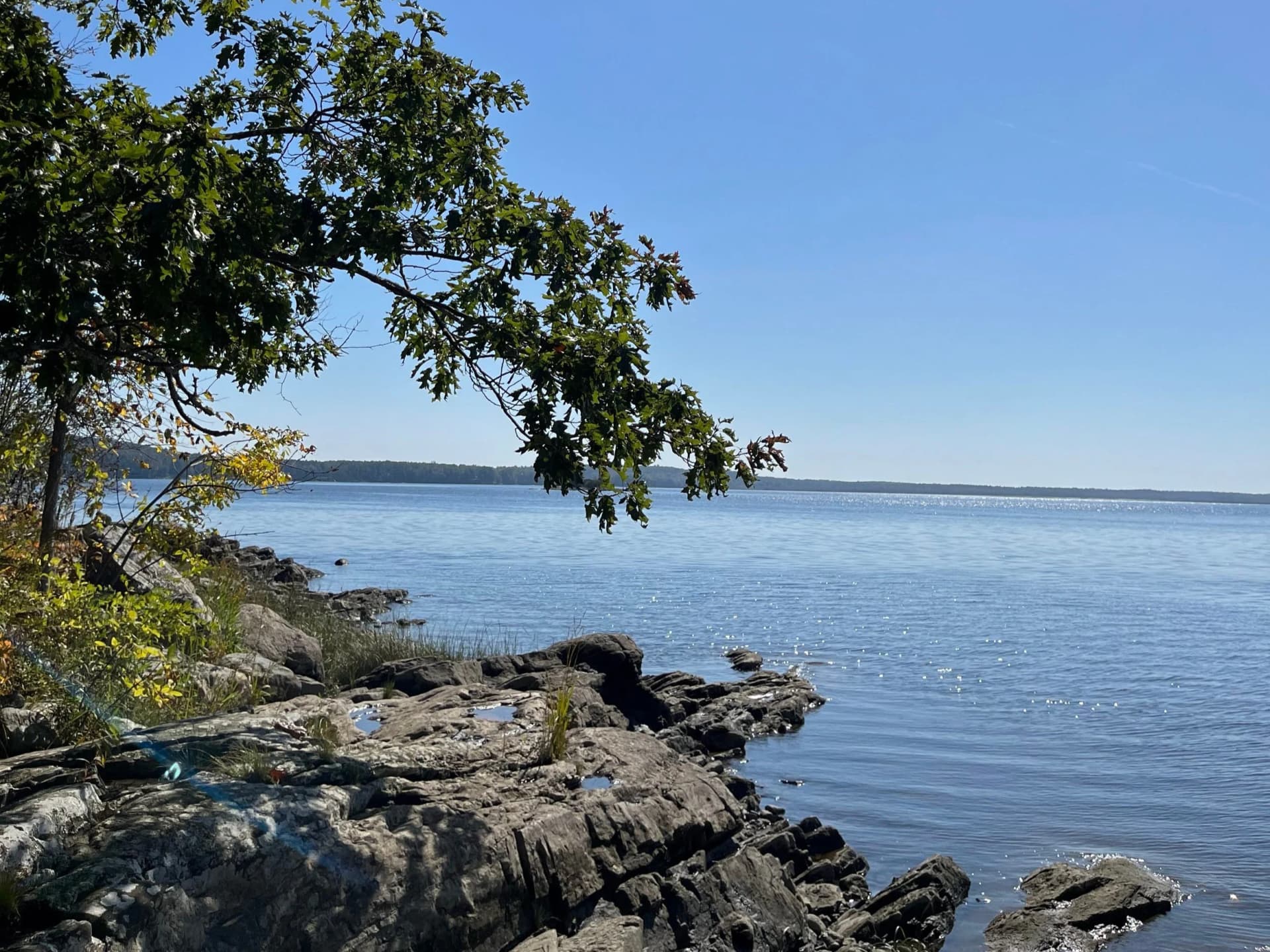
Center Point Preserve gives Bowdoinham one of the most direct ways to step into Merrymeeting Bay’s shoreline world. Park on Center Point Road, walk about a mile along the road to the point, and you reach a trail that circles the tip above a small cove with a wide view across the bay. The preserve is open dawn to dusk, and its mix of shoreline access, bird habitat, and marshland history makes it one of Sagadahoc County’s most useful outdoor destinations.
A small preserve with a big shoreline role
The preserve now covers 33 acres after Kennebec Estuary Land Trust acquired 22 acres in February 2023 and added another 11 acres in December of that year. KELT says the site is designated as an Exemplary Natural Community by the Maine Natural Areas Program, protects tidal waterfowl and wading bird habitat, and contains eight species of rare, threatened, and endangered plants. That combination makes Center Point more than a scenic stop. It is a managed piece of the estuary where habitat protection, access, and restoration all overlap.
The 2025 trail map adds another layer of practical detail. It shows a picnic area and a viewing platform, and it places the preserve beside the Maine Department of Inland Fisheries and Wildlife’s Merrymeeting Bay Wildlife Management Area. KELT also describes the preserve as offering non-motorized recreational access to Merrymeeting Bay, which is exactly what makes it useful for residents who want a short outing with a real ecological payoff.
What the trail looks like on the ground
The access plan is built around the reality of the existing path. Bowdoinham trail coverage in 2025 described the old Center Point route as rugged, with roots and loose terrain, which is why the redesign focuses on a single durable trail surface. The planned trail is intended to meet U.S. Forest Service accessibility standards, making the preserve more usable for a wider range of visitors than the earlier footing allowed.
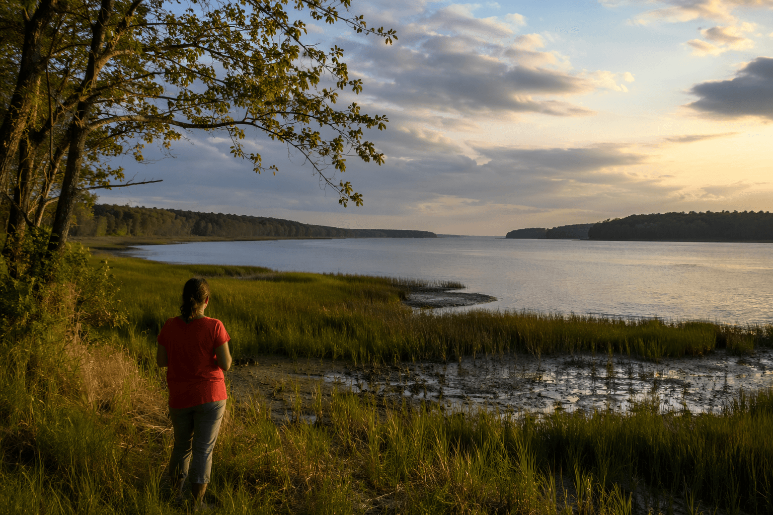
That project has also become a major restoration effort. KELT says the trail plan has received more than $600,000 in grant funding, and the work is designed to do more than improve a walking route. The goals include restoring wetlands by increasing tidal flow and reforesting areas that were cleared by prior land uses. For a site this close to the water, those changes matter as much as the path itself.
A visit now can be simple and direct:
- park on Center Point Road
- follow the road about a mile to the shoreline trail
- look for the small cove at the tip of the point
- use the viewing platform for a longer look across Merrymeeting Bay
- if you are paddling, reach the area by water from Cathance River Boat Launch about 2.5 miles upriver
That mix of land and water access gives the preserve a flexibility few local sites can match. It works as a short walk, a birding stop, or a launch point for a broader look at the estuary.
Birding is only part of the story
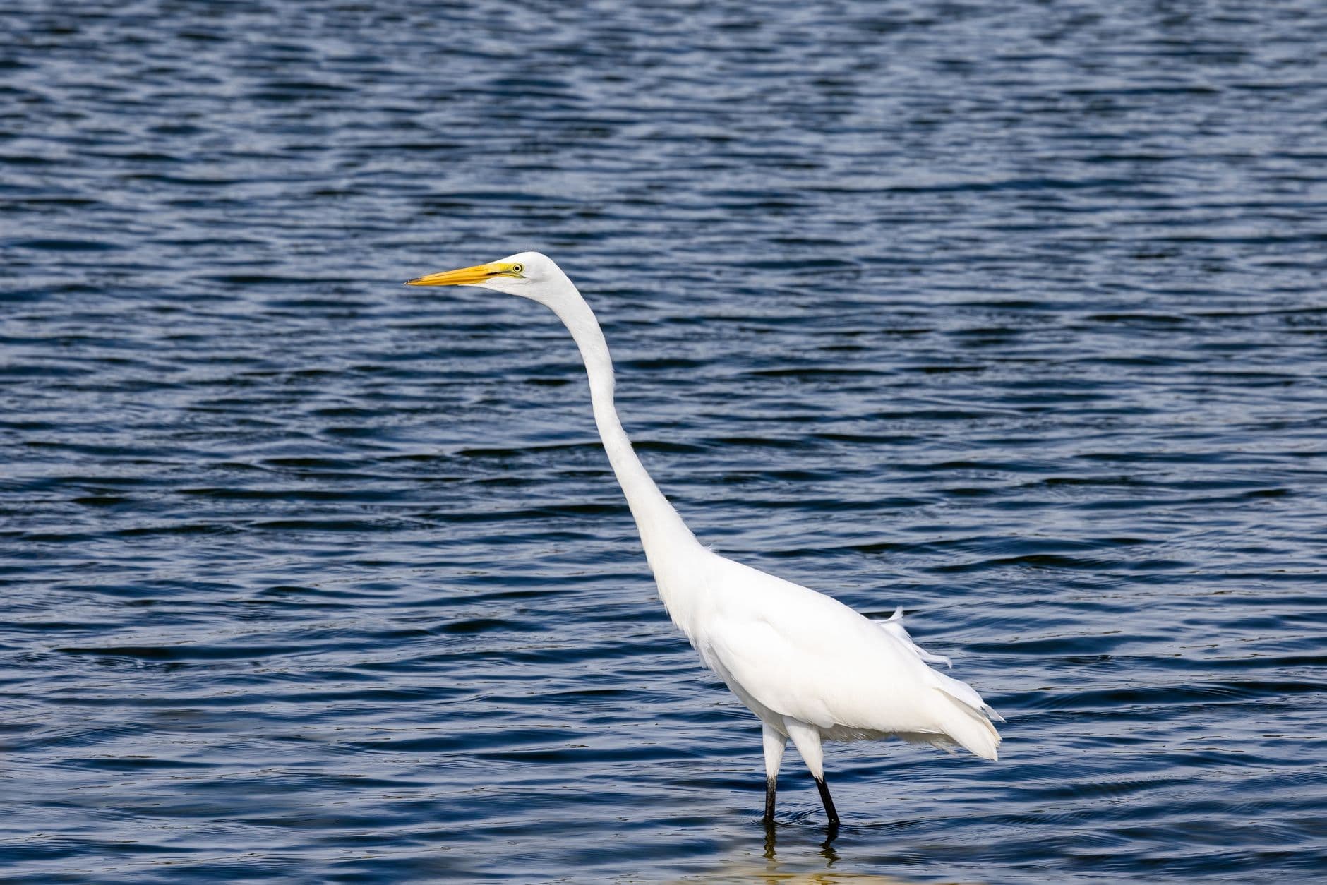
Maine Audubon lists Merrymeeting Bay, Bowdoinham as a river, mudflat, and estuary stop for waterfowl, Bald Eagles, and Osprey. On the trail itself, KELT highlights black-capped chickadees, brown creepers, and downy woodpeckers in the forest, with bald eagles and migratory shorebirds possible along the shoreline. That range of species reflects the bay’s unusual mix of freshwater, tidal movement, marsh edges, and mudflat habitat.
The broader estuary supports even more. Friends of Merrymeeting Bay says the bay and its tributaries are breeding grounds for Canada geese, herons, ducks, and many anadromous fish, including shad, smelt, striped bass, river herring, and salmon. It also identifies endangered or protected species in the system such as shortnose and Atlantic sturgeon. During spring and fall migration, the tidal freshwater marshes of the Cathance River and Merrymeeting Bay support thousands of ducks, geese, rails, wading birds, and other water-dependent species, which explains why the area draws both birders and habitat watchers.
Why Merrymeeting Bay matters beyond one trail
The landscape around Center Point Preserve is part of the Kennebec Estuary, which KELT defines as Merrymeeting Bay, the lower Kennebec River, and the surrounding uplands. KELT describes it as one of the nation’s most significant coastal resources, and the numbers help explain why: 20 percent of Maine’s tidal marshes are found within the estuary, and the system contains the largest concentration of salt marshes in the state. That is a county-scale habitat network, not just a local scenic pullout.
Friends of Merrymeeting Bay adds the hydrology that gives the place its unusual character. Merrymeeting Bay is a freshwater tidal riverine system formed by the confluence of multiple rivers, especially the Androscoggin and the Kennebec. The history of the bay is closely linked to the tributary rivers that feed it, particularly the Kennebec, which has long shaped settlement, transport, and fishing patterns in the region. The estuary’s ecology and its human use are tied together by those waters.
The history beneath the marsh grass
The place names tell part of the story. KELT says the Sagadahoc band of the Kennebec tribe lived in the estuary from Merrymeeting Bay to the Atlantic Ocean for nearly 13,000 years before English colonists arrived in the early 17th century. Friends of Merrymeeting Bay notes that the Kennebec River between Merrymeeting Bay and the ocean was called Sagadahoc to honor the tribe that dwelled along its shores. That history is not separate from the landscape. It is embedded in it.
Friends of Merrymeeting Bay also says the bay has played a role in human history for thousands of years, and that Indigenous people introduced wild rice to its waters. That detail matters for how the estuary is understood today. It is not only a bird stop or a wetland system, but a working landscape shaped by people over many generations, with ecological value and cultural continuity intertwined.
Center Point Preserve gives Sagadahoc County a place where all of those layers are visible at once: a 33-acre shoreline preserve, a trail built for broader access, a marsh system with rare plants and migratory birds, and a bay whose history runs far deeper than the present-day path along Center Point Road.
This article was produced by Prism’s automated news system from verified source data, official records, and press releases, then run through automated quality and moderation checks before publishing. The system is built and supervised by the people who set the standards it runs under. Read our full AI policy.
Did this article answer your question?