Merrymeeting Fields in Woolwich offers birding, skiing and bay views
Birders, skiers and history seekers can cover marsh, forest and overlook in one stop at Merrymeeting Fields. The Woolwich preserve also shows how bay ecology and local history still shape the land.
The 125-acre Merrymeeting Fields preserve in Woolwich is free from dawn to dusk, with no hunting, trapping, motor vehicles or pets. A single visit can move from mixed forest to an open field to a bay overlook, keeping the experience quiet enough for birding, skiing and a clear look across Merrymeeting Bay.
What you can do on a visit
The preserve’s trail network gives you a short but varied outing. KELT maintains paths along the old lighthouse road and through the forest to an overlook on Merrymeeting Bay, with extensive frontage on both the bay and Chops Creek. The land is primarily mixed forest, and it also includes a former farm field maintained for nesting birds and small mammals.
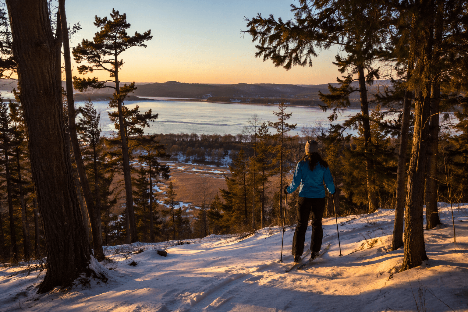
In warmer months, the field edge and shoreline make it easy to scan for birds moving between the bay and the woods. In winter, the same open ground and wooded stretches make the preserve a natural place for cross-country skiing. Eleanor B. Burke’s will directed that the land remain open space with forests, woodlands and varied habitats, and the restrictions on hunting, trapping and vehicles still keep the place set up for low-impact recreation.
Why the landscape feels different from a typical preserve
The preserve was donated to the Kennebec Estuary Land Trust in 2003, and Burke’s instructions were clear about keeping the property natural and undeveloped. Her estate also called for the buildings to be torn down and funds to be set aside to maintain the land in that condition.
The former field is kept for nesting birds and small mammals, while the wooded portions and shoreline habitat support the rest of the preserve’s wildlife value. The Maine Natural Areas Program designates the shoreline and Chops Creek as critical habitat, and the overlook gives you views toward the Kennebec River and the Abagadasset Wetlands.
A place layered with older histories
Indigenous use dates back to 6000 BC, Samuel de Champlain passed up the river in 1607, and East Chopps Point was farmland from 1604 to 1940. Later, the Baker-Temple family ran a range light there to guide ice boats and steam packets.
You can still see physical traces of that past. The 1880s brought giant iron rings that remain visible at the overlook, where sand was dredged from the river. Eleanor and Walter A. Burke bought the property in 1952 and called the homestead Merrymeeting East, and after Eleanor Burke died in 2002, the land’s future was secured through the bequest that became the preserve. She also helped establish the Merrymeeting Bay Trust to promote understanding and study of the bay and the undeveloped land around it.
Why birders keep coming back
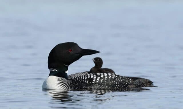
eBird currently shows 89 species and 44 checklists at the Merrymeeting Fields hotspot. The bay frontage, the creek, the field and the overlook together create a compact place to watch movement between upland cover and tidal habitat.
The Kennebec estuary includes the Kennebec, Androscoggin, Cathance, Adagadasset, Muddy and Eastern rivers. KELT puts its drainage at nearly 40% of Maine and the share of the state’s tidal marshes in the estuary at 20%. The shoreline provides habitat important for nesting and migrating birds as well as striped bass spawning grounds offshore.
Merrymeeting Bay has some of the Northeast’s best habitat for rare plants associated with tidal freshwater marshes, and the Lower Kennebec/Merrymeeting Bay area is the only known Maine range of redfin pickerel, which is listed as endangered in the state. In the Maine Office of Community Affairs’ Sagadahoc Region conservation blueprint, Merrymeeting Bay is one of the only shared major river deltas on earth and has a unique plant community tied to tidal freshwater.
The bigger bay around the preserve
Friends of Merrymeeting Bay has been active since 1975. Merrymeeting Bay is a major riverine delta with extensive tidal flats, wetlands and forests, and the Chops is the narrow outlet where water flows from Merrymeeting Bay into the lower Kennebec. Glaciers carved the area about 10,000 years ago, shaping the broad flats and low-lying channels that define the view today.
This article was produced by Prism’s automated news system from verified source data, official records, and press releases, then run through automated quality and moderation checks before publishing. The system is built and supervised by the people who set the standards it runs under. Read our full AI policy.
Did this article answer your question?