37 historical markers map San Juan County’s heritage trail
San Juan County has 37 historical markers, and they form a countywide trail from Aztec Ruins to Hogback while also showing what public memory leaves out.
1. The 37-marker county map
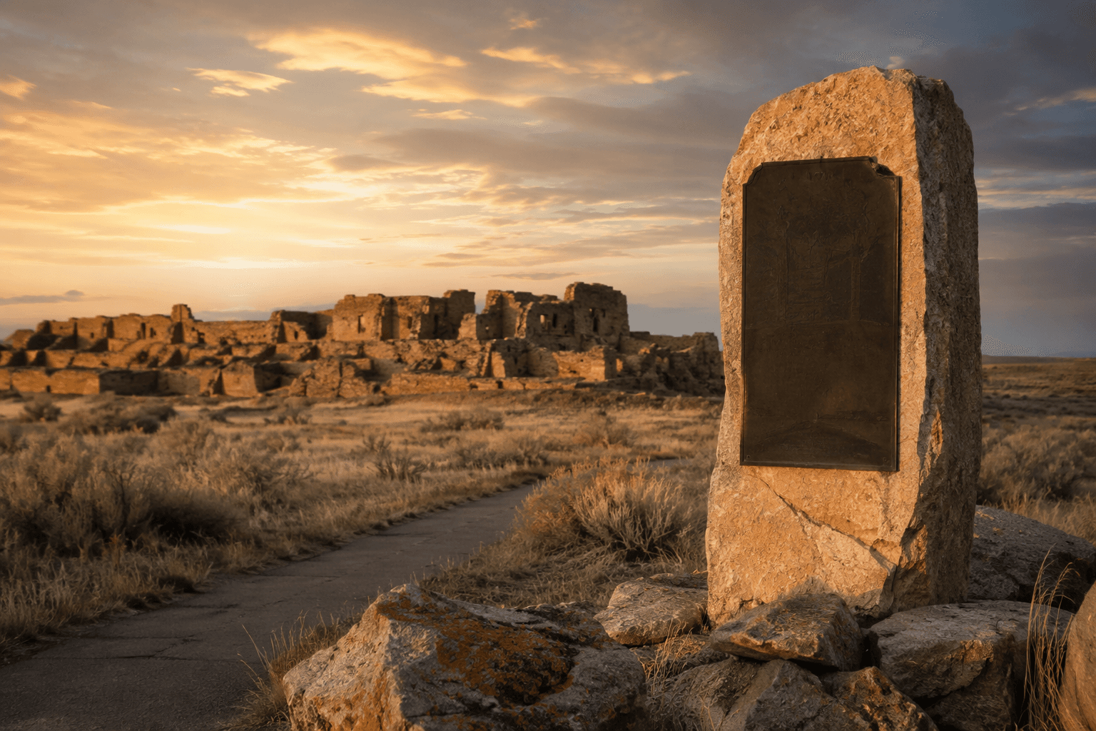
The Historical Marker Database matches 37 entries to San Juan County, New Mexico. That is enough to build a real road itinerary, not just a quick stop at one famous ruin.
2. Aztec, the county seat
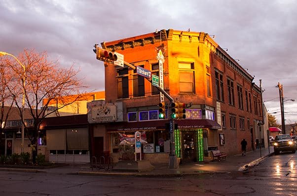
San Juan County government identifies Aztec as the county seat, which makes it the natural starting point for a heritage loop. The county was created in 1887, so the trail begins with the place where civic history and public memory meet.
3. San Juan County Historical Society
The San Juan County Historical Society is at 201 North Main Avenue in Aztec and was organized in 1950. Its mission to curate and share county stories makes it the best first stop for orientation before heading out on the road.
4. County visitor information
The county’s visitor-information pages already give travelers a way to navigate the area, which means a marker trail can plug into existing local wayfinding. In a county this spread out, that matters as much as any single sign.
5. The county’s scale
San Juan County covers 5,517.2 square miles and had 120,817 residents in Census Reporter’s 2024 estimate. That size explains why the county’s memory is scattered across towns, highway corridors, and isolated sites instead of concentrated in one downtown.
6. State preservation support
New Mexico’s Historic Preservation Division says historic preservation supports the state’s heritage tourism industry. A San Juan County marker trail fits that model because it sends people into towns, museums, and scenic pullouts instead of keeping them in one parking lot.
7. The Scenic Historic Markers program
The state also runs an official Scenic Historic Markers program with application and rules documents. That puts the county’s roadside signs inside a formal preservation system, not just a collection of local curiosities.
8. How to use the county page
The Historical Marker Database county page lets users browse entries, see directions, and read inscriptions. For a self-guided route, that turns the database into a practical map rather than a static list.
9. Aztec Ruins National Monument
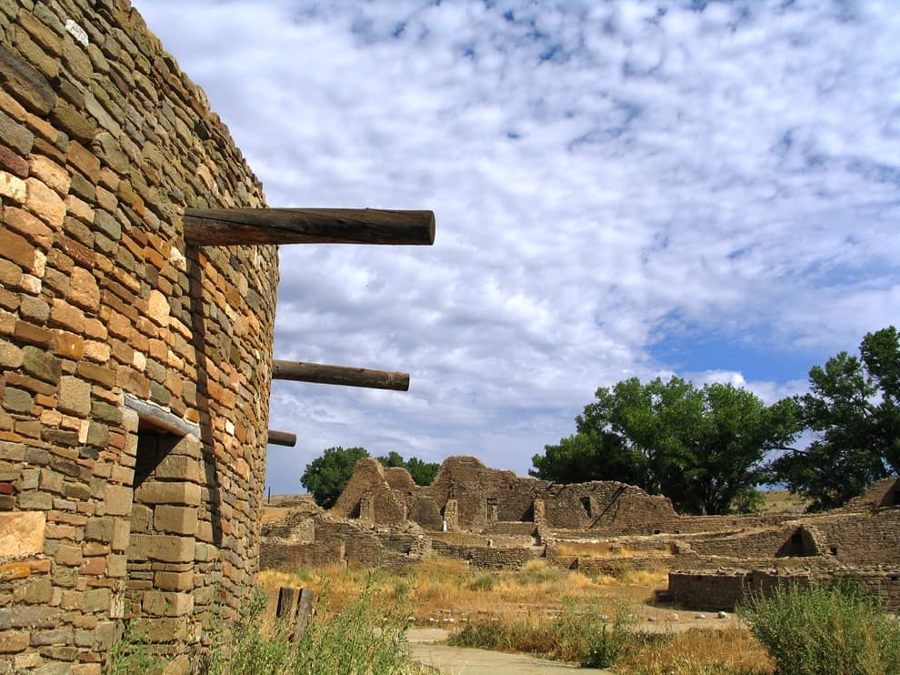
Aztec Ruins is one of the county’s most important archaeology stops, and the marker links San Juan County to nationally significant interpretation. It also gives the trail a place where the ancient past is impossible to miss.
10. Old Spanish Trail retracement
The National Park Service connects Aztec Ruins to the Old Spanish Trail retracement story, which adds movement, trade, and travel to the archaeological layer. That makes this stop useful for understanding how people crossed the region long before modern roads.
11. Aztec downtown
Aztec appears repeatedly because the county seat pulls several strands together in one town. The density of markers here shows how much of the county’s public history has been organized around its civic center.
12. City of Bloomfield
The City of Bloomfield marker gives the trail another municipal anchor beyond Aztec and Farmington. It shows that county history is spread across multiple towns, not just the largest one.
13. Farmington
The Farmington marker gives the city exact numbers, 30,792 residents and an elevation of 5,395 feet. Those details make the stop feel grounded immediately and help explain why Farmington functions as the county’s high-desert service hub.
14. Farmington’s civic snapshot
Farmington’s marker is useful because it turns geography into a one-line civic portrait. A city at 5,395 feet with more than 30,000 people reveals how settlement, elevation, and modern growth overlap in one place.
15. Hogback
The Hogback marker shifts the trail from towns to landform. Its inscription says steeply dipping strata define the western edge of the San Juan Basin, so the county’s geology becomes part of the story.
16. The San Juan Basin
Hogback is the clearest reminder that San Juan County’s identity is not only human history. The basin’s structure helps explain where roads, settlements, and corridors developed.
17. Settlement of Kirtland
The Settlement of Kirtland marker pushes the trail into pioneer and settlement history. It adds a smaller-town perspective that keeps the county from reading only as Aztec, Farmington, and big sites.
18. Harriet Belle Amsden Sammons
Harriet Belle Amsden Sammons is identified on her marker as a bank president, which gives the trail a named civic leader rather than just a place name. Women’s business history often gets less public recognition, so this stop stands out.
19. Salmon Ruin
Salmon Ruin extends the county’s story into deep-time archaeology. It is a place where the trail can move from modern settlement history back to much older cultural remains.
20. San Juan Church
The San Juan Church marker adds religious and neighborhood history to the route. It shows that the county’s public memory includes churches and community landmarks, not only ruins and road signs.
21. County roads and corridors
Markers along roads matter here because San Juan County is so large and spread out. The database’s directions feature is useful precisely because this trail works best as a driving loop.
22. Aztec as the first cluster
Start in Aztec if you want the densest cluster of civic memory in one place. The county seat, the historical society, and the Aztec Ruins connection make this the most efficient first stop on the route.
23. Farmington and Hogback together
Farmington and Hogback work well as one western loop, because they move from civic life to geology without much backtracking. One stop gives you a city marker with hard numbers, and the other gives you the basin’s edge in stone.
24. Bloomfield as the connector
Bloomfield keeps the trail from becoming too centered on Aztec and Farmington. Its marker adds a separate municipal story and helps round out the county’s town-by-town map.
25. Kirtland for settlement history
Kirtland belongs on the route because it captures the county’s pioneer-era growth. It is the kind of stop that explains how smaller communities built their own civic identities.
26. Aztec Ruins for the deep past
Aztec Ruins keeps the county from being read only through the 19th and 20th centuries. The federal monument makes the archaeological past visible in a way that roadside towns cannot do on their own.
27. Salmon Ruins for stewardship
A stop at Salmon Ruin shows that archaeology here is also about stewardship and interpretation. The San Juan County Museum Association at Salmon Ruins Museum gives that work a local institutional home.
28. The historical society’s role
At 201 North Main Avenue, the historical society gives the trail an archive stop, not just a roadside one. It is where photos, facts, and family names can be tied back to actual places.
29. Preservation as economic policy
New Mexico’s preservation division treats heritage tourism as an economic asset, not just a cultural one. That matters for county towns because marker stops can pull visitors into local businesses and museums.
30. The county page as a teaching tool
The county marker list works well for classroom trips because users can read the inscriptions and plan the route in advance. It is a ready-made field guide for local history classes.
31. The county page as a family-history tool
Family historians can use the same list to match surnames and settlements to real places. A marker trail turns a name in a document into a location you can stand beside.
32. What is heavily memorialized
The most visible pieces of San Juan County’s public history are archaeology, county-seat politics, pioneer settlement, and named civic leaders. Aztec, Farmington, Bloomfield, Kirtland, Aztec Ruins, Hogback, and Salmon Ruin all point in that direction.
33. What is less visible
Later housing patterns, everyday labor history, and many newer neighborhoods do not appear as prominently in the marker inventory. The trail shows what the county has chosen to commemorate, and what has not received the same public sign.
34. Indigenous history in the record
The markers reach deep into the ancient past through sites like Aztec Ruins and Salmon Ruin, but they do not fully capture living Indigenous histories in the county today. The public record is strongest on deep time, weaker on present-day community life.
35. Women’s history on the trail
Harriet Belle Amsden Sammons is one of the clearest examples of women’s leadership being recognized publicly in county history. Her marker suggests there is room for more women-centered interpretation in the county inventory.
36. Why the trail matters in a big county
A county of 5,517.2 square miles cannot tell its story from one downtown block. The marker trail spreads memory across roads and towns, which is exactly why it works as a countywide guide.
37. The county’s public history, one sign at a time
San Juan County’s 37 historical markers form a usable heritage trail because they connect the county seat, the larger towns, the geology, and the ruins into one readable map. The trail also leaves a sharper question behind every stop: whose history got a sign, and whose still has to travel without one.
This article was produced by Prism’s automated news system from verified source data, official records, and press releases, then run through automated quality and moderation checks before publishing. The system is built and supervised by the people who set the standards it runs under. Read our full AI policy.
Did this article answer your question?