Angel Peak offers hoodoos, fossils and camping near Bloomfield
Angel Peak gives San Juan County a free, low-key escape with hoodoos, fossils and camping just south of Bloomfield.
Angel Peak Scenic Area gives San Juan County families a free, low-key day trip just 16 miles south of Bloomfield, with hoodoos, fossils, picnic shelters and a small campground perched above the badlands. The Bureau of Land Management keeps the site open year-round, and spring and fall bring the most comfortable weather.
A local escape that is easy to reach
Bloomfield’s tourism materials put Angel Peak in the same gateway category as Aztec Ruins National Monument, Chaco Culture National Historical Park and Salmon Ruins & Heritage Park, which is a good reminder that this is not an isolated overlook hidden deep in the backcountry. The Bloomfield Chamber places it 16 miles south of town on U.S. Highway 550, and Recreation.gov lists it at about 30 miles southeast of Farmington, so the drive fits easily into a half-day outing or an overnight without much planning. That local geography helps explain why Angel Peak can be one of the county’s simplest scenic escapes, even if it is not the first stop many residents think of.
Getting there and timing the trip
The practical route is straightforward: leave U.S. Highway 550, turn onto County Road 7175 and then follow about six miles of gravel road to the campground. Recreation.gov says the access road and rim road put you in the heart of the scenic area, not at a paved park entrance, so this is still a primitive outing rather than a full-service destination. The BLM says summer heat can be extreme, while winter and wet conditions can make roads and trails muddy or impassable, so the best timing is still spring or fall if you want the most comfortable conditions.
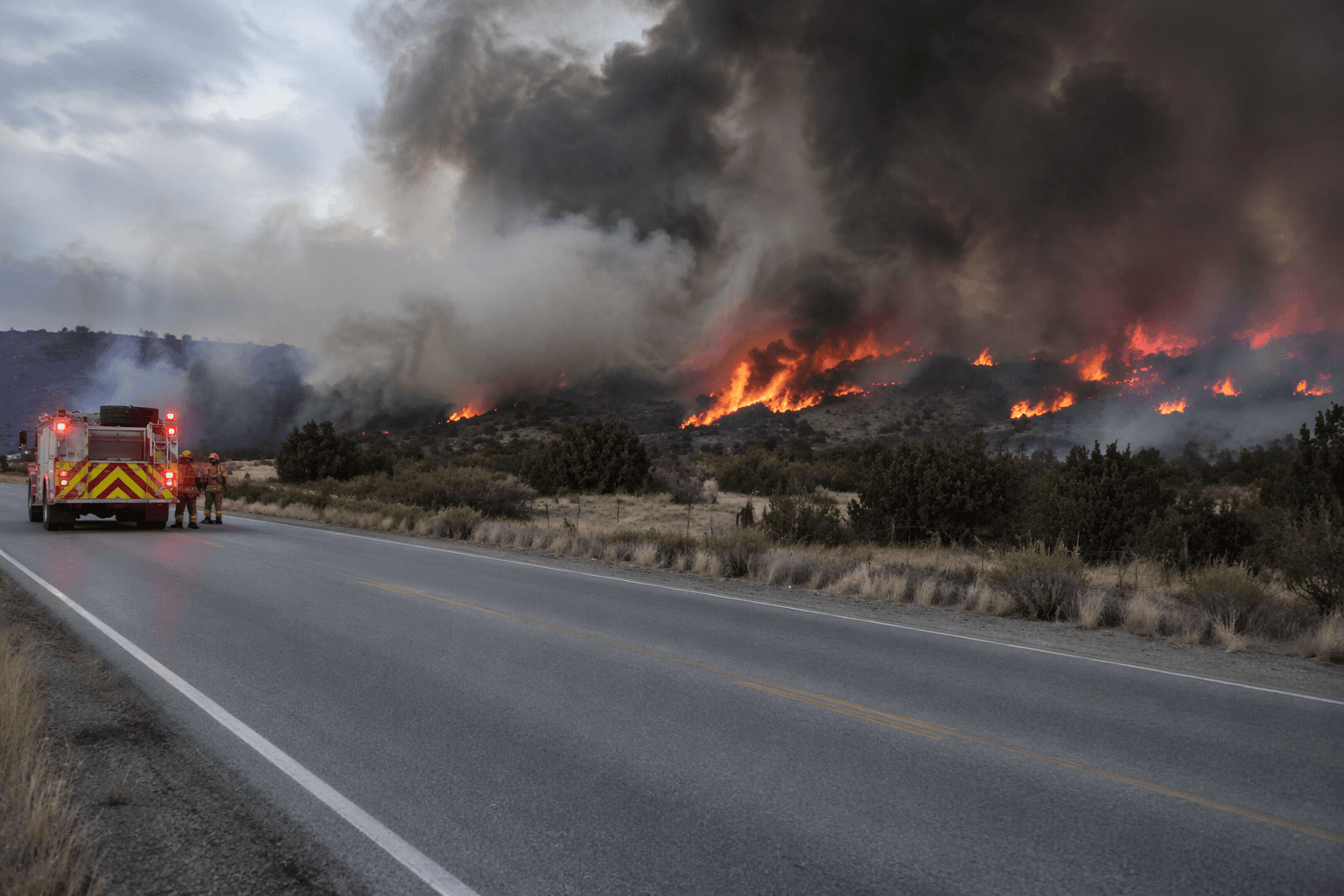
The same official guidance matters for safety: cell service is minimal to nonexistent, roads may require high-clearance vehicles when wet, and visitors should bring plenty of water. The BLM also warns drivers to watch for traffic and heavy trucks tied to oilfield infrastructure, which is an important detail in a landscape that looks wild but is still part of an active working basin.
What you actually see from the rim
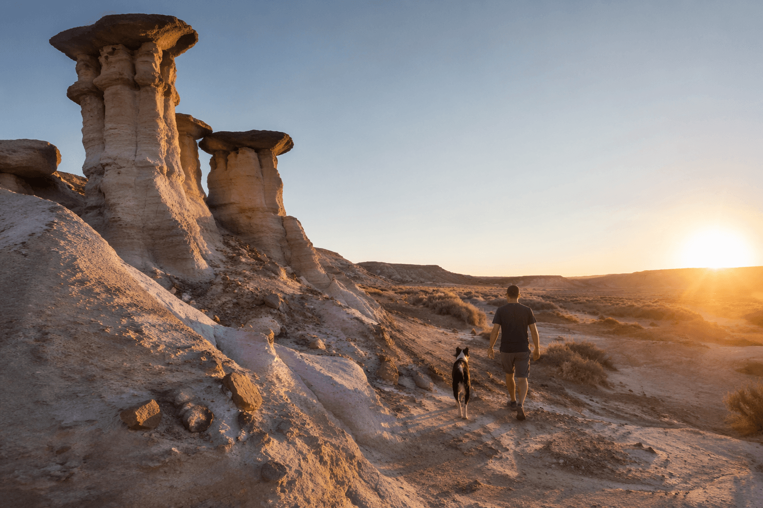
Angel Peak covers more than 10,000 acres, and the landmark itself rises to nearly 7,000 feet as a sandstone pinnacle visible for miles. Recreation.gov says the peak is composed of river-deposited sandstone from the San Jose Formation, and the short journey along the rim reveals the banded colors and deep sculpted fingers of the canyon below. A geologic tour from New Mexico Tech places the surrounding badlands on the Paleocene Nacimiento Formation, which is part of the same broader San Juan Basin story that gives this landscape its layered look.
The BLM says a short rim trail and interpretive panels let visitors see hoodoos, petrified wood and mammal fossil remnants eroding from the San Jose and underlying Nacimiento formations. That makes the stop useful for more than a photo: you can walk a short trail, read the geology on site and then look down into a canyon where the rock layers tell the story for you. Recreation.gov also notes a short nature trail to an overlook with a bench, which gives families a simple walk that still ends with a real view.
Camping, picnic areas and no-cost overnights
Angel Peak is one of the few San Juan County scenic stops where a family can pull off the highway, eat lunch and stay the night without paying an entry fee. The campground is free and first-come, first-served, and the site includes nine tent sites plus primitive dispersed camping. Recreation.gov says there is no water and no electrical hookups, so you need to arrive self-sufficient, but the trade-off is a low-cost overnight in a place where the stars and badlands are the main amenities.
The setup is simple but complete enough for a picnic stop or short stay:
- Sage, Castle Rock and Cliffs are the three developed picnic areas. Each has shelters, picnic tables on concrete pads, fire grates, gravel paths and trash cans.
- Vault restrooms are available at the picnic areas and campground, and the campground includes accessible vault toilets and trash receptacles.
- The campground has nine tent sites, and the BLM says primitive dispersed camping is also permitted.
Respect the fossils and the land
Angel Peak’s fossil story is part of what makes it special, but it also comes with clear rules. The BLM says visitors should not climb or damage hoodoos or other fragile geological features, and it asks people to stay within legal access boundaries and follow rock-collecting regulations. Bloomfield’s Angel Peak page adds that on BLM land, limited collecting is allowed for plant, insect, shell and petrified wood fossils, but vertebrate fossils cannot be collected and nothing taken from federal land may be sold.
That same respect applies to the working landscape around the overlook. Active gas wells are present in the scenic area, so visitors need to stay away from well pads, pipelines and other oilfield equipment. Pets are allowed on leash, and waste has to be packed out, which matters on a site where the appeal depends on keeping the rim and campground clean, open and undegraded.
Angel Peak is easy to miss because it is close to Bloomfield, free to visit and stripped down to the essentials: road, rim, fossils, picnic tables and a campground. For a San Juan County household looking for a cheap outing with real views and no long drive, that combination makes it one of the county’s most practical scenic stops.
This article was produced by Prism’s automated news system from verified source data, official records, and press releases, then run through automated quality and moderation checks before publishing. The system is built and supervised by the people who set the standards it runs under. Read our full AI policy.
Know something we missed? Have a correction or additional information?
Submit a Tip