Valles Caldera reveals Sandoval County's volcanic past and wild beauty
Valles Caldera is Sandoval County’s living volcanic core, driving fire planning, visitor traffic, and Jemez Pueblo rights while shaping water and access.
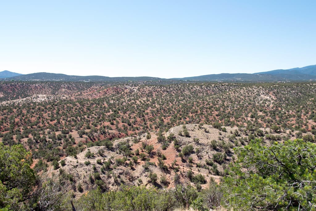
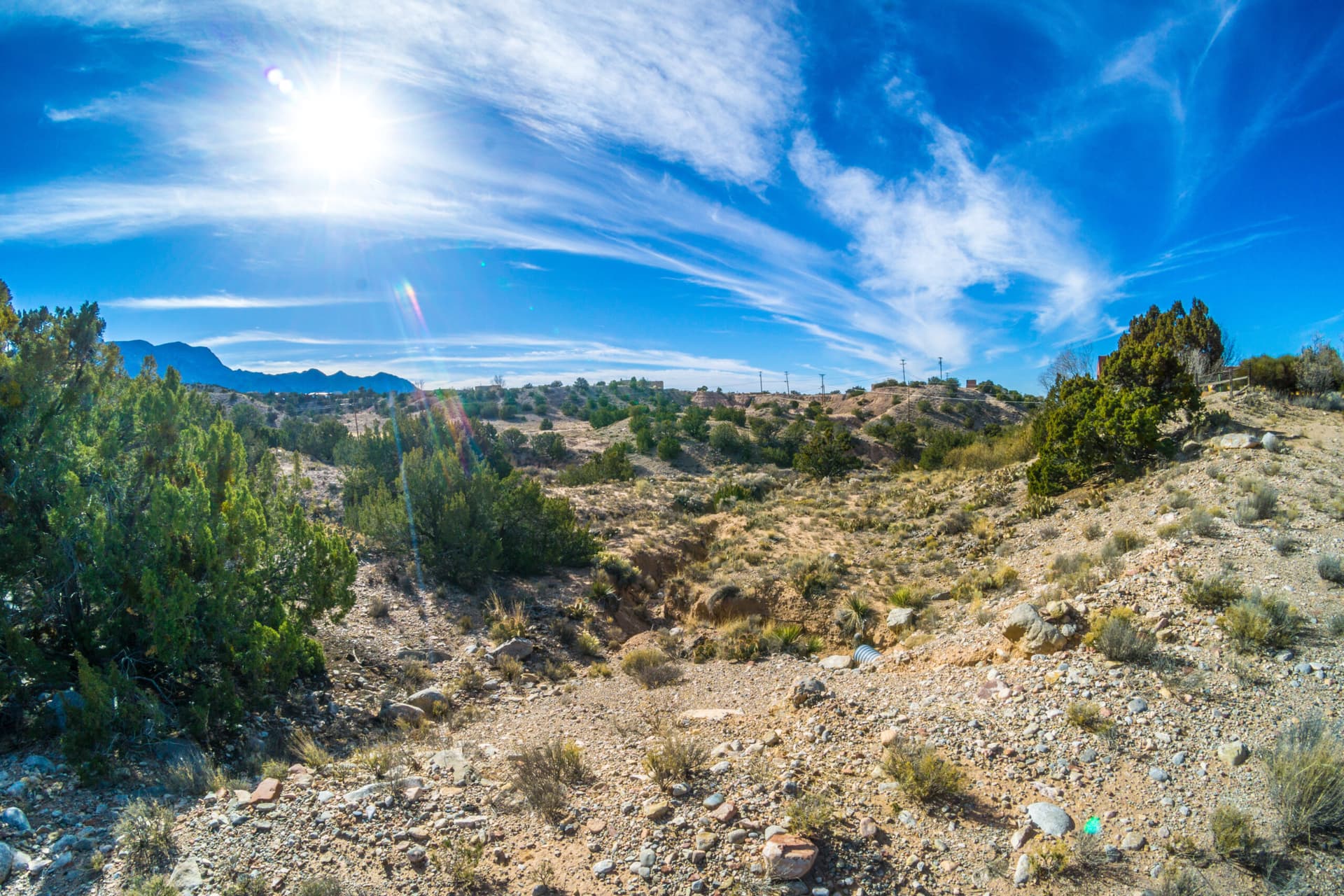
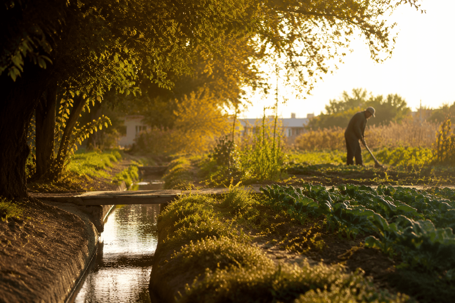
Valles Caldera is not just a dramatic view near Jemez Springs. In Sandoval County, it is a place where volcanic geology, public-land access, wildfire planning, tourism traffic, and tribal rights all meet in the same basin. More than 76,000 people visited in 2023, and the preserve’s future is still being shaped by entrance fees, fire management, and a 2025 planning process that will influence how much of the land remains open, where people camp, and how they move through it.
A volcanic basin that still sets the county’s map
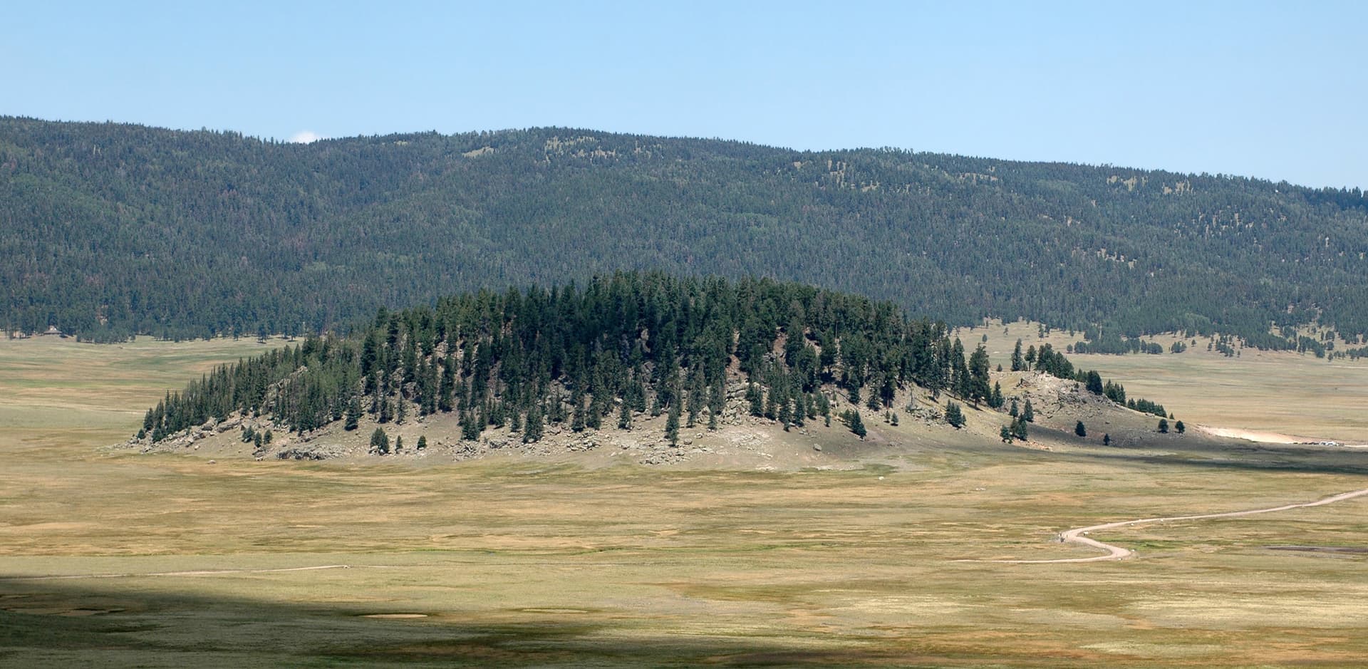
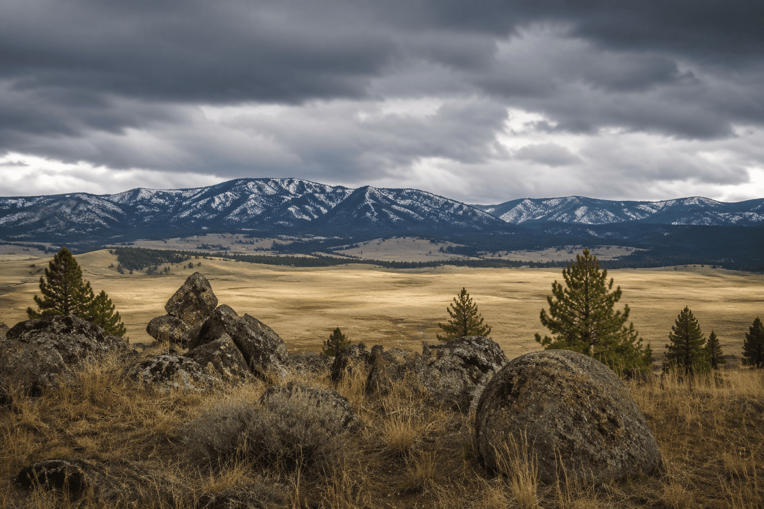
The caldera formed when a volcanic system collapsed after a massive eruption about 1.2 million to 1.25 million years ago. That collapse left a circular depression roughly 13 to 14 miles wide, which is why the landscape feels so different from the surrounding Jemez Mountains. The meadows, streams, and broad open spaces are not random mountain scenery; they are the visible result of a major volcanic event that reorganized the terrain.
That history is easy to read at Valle Grande, the preserve’s signature meadow valley, where the scale of the basin becomes obvious all at once. The National Park Service describes the preserve as a place of lush montane grasslands, scenic vistas, old-growth ponderosa pine, and diverse habitats, and those features are tied to the caldera’s soils and hydrology. In a county shaped by arid conditions and rugged topography, that mix of grasslands, forest, and stream corridors is one of the most distinctive public landscapes in northern New Mexico.
From ranchland to national preserve
Valles Caldera spans about 88,900 acres in the Jemez Mountains of north-central New Mexico, about 50 miles from Santa Fe and roughly 80 miles from Albuquerque. Congress established it under Public Law 106-248, the Valles Caldera Preservation Act of 2000, after years of debate over how to protect land that had been private ranch property. The preserve went through the Valles Caldera Trust era before becoming part of the National Park System in 2015.
That layered history matters because the place has never been managed as untouched wilderness. The land-use record includes the Baca Location No. 1 and Baca Ranch era, along with grazing, fire, forestry, and other forms of human use that left their own imprint on the landscape. The National Park Service says the preserve’s purpose is to protect, preserve, and restore ecosystems and cultural landscapes, which means the county’s public land is being managed as both habitat and a lived-in working landscape with a long human record.
Why water, fire, and access still matter
The preserve’s water story is embedded in its terrain. Meadows, creeks, and the East Fork Jemez River thread through the basin, and the volcanic collapse shaped the hydrology that still influences how water moves across the land. That makes the preserve more than a scenic stop for hikers and photographers. It is also a place where erosion, runoff, drought, and restoration decisions matter to the broader Jemez Mountains landscape.
Wildfire risk is another reason Valles Caldera remains central to Sandoval County’s present tense. The National Park Service has prepared fire management planning for the preserve, and the 2024 fire management environmental assessment emphasized that Valles Caldera is spiritually and ceremonially important to numerous American Indian peoples in the greater Southwest. The landscape has also seen major fire impacts in recent years, including the 2013 Thompson Ridge Fire, which charred ridgelines near the Cabin District and left blackened trees visible in the preserve. Prescribed burns are part of the management toolbox because they reduce hazardous fuels and help protect ecosystems that are already under pressure from heat, drought, and past land use.
Access is just as consequential. Seasonal road closures and permit checks can change how people move through the preserve, and the National Park Service has continued revising how visitors enter, drive, and use the land. In 2025, the park resumed entrance fees at $25 per vehicle, $15 per person, or $20 per motorcycle for seven consecutive days. The preserve is also preparing a new general management plan and development concept plan that will address campgrounds, front- and backcountry trails, concessions, and visitor capacity, which means the county’s most famous public landscape is still deciding how much use it can carry.
Wildlife, old growth, and the human story on the land
One reason the preserve draws so many people is the wildlife. High-elevation grasslands provide summer habitat for about 2,500 to 3,000 elk, and wildlife viewing is one of the most consistent reasons people go. For many visitors, that herd is as much a symbol of the caldera as the rim itself, because the open basin gives the elk room to feed and move in a way that is rare elsewhere in the county.
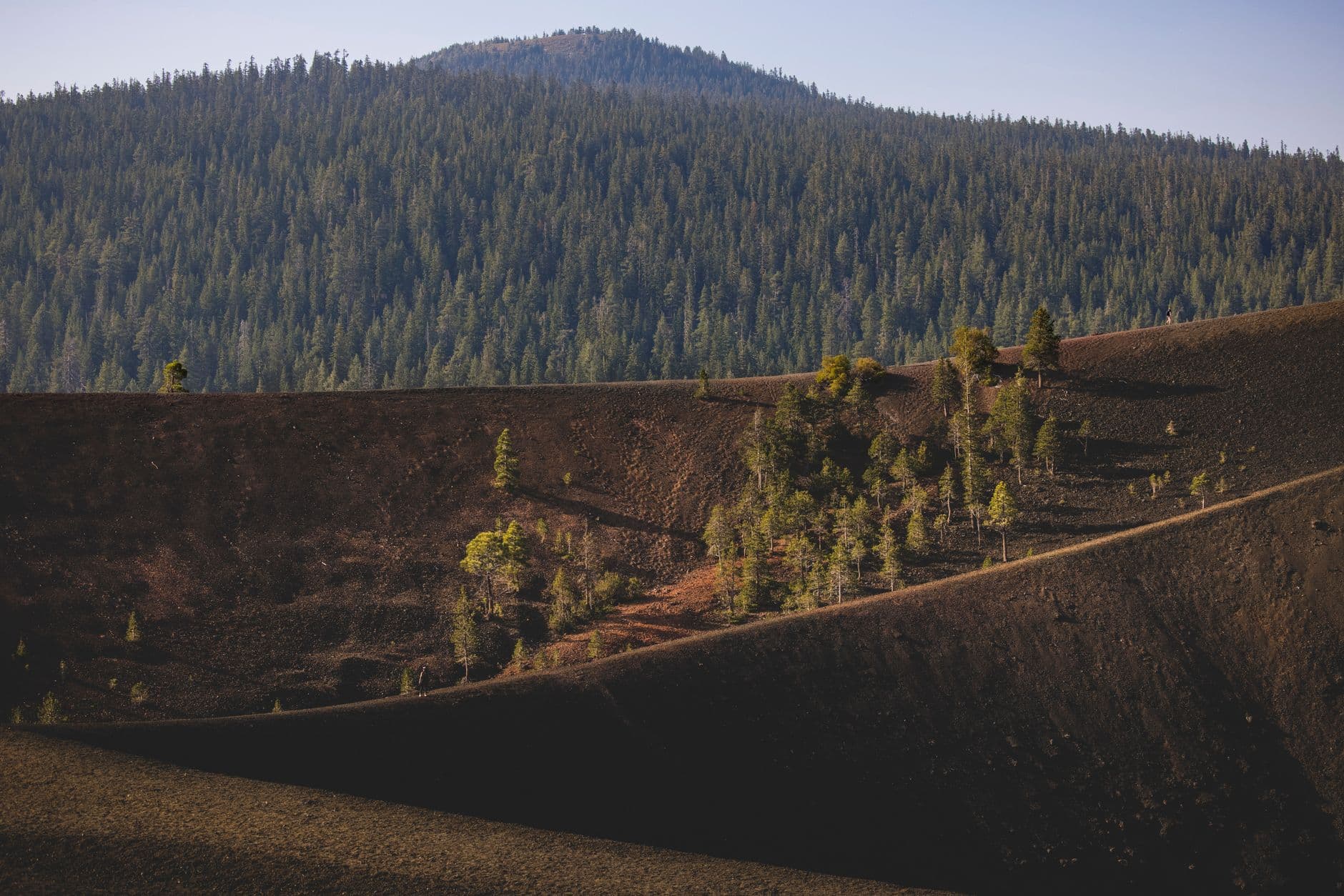
The forested side of the preserve tells a different story. The Old-Growth Forest Network identifies History Grove as a 125-acre old-growth forest dominated by 250- to 400-year-old ponderosa pines. That stands as a reminder that Valles Caldera is not one ecosystem but several, compressed into the same basin. The contrast between old growth, open grassland, and recovering fire-scarred slopes is exactly what makes the preserve such an important living laboratory for conservation in Sandoval County.
The cultural story is just as present. In 2025, the Interior Department signed a settlement recognizing Jemez Pueblo’s rights to occupy and use Banco Bonito for traditional cultural and religious purposes. That settlement matters because it acknowledges that the preserve is not only a national asset, but also a place of continuing Indigenous connection, ceremony, and use. In a county where land policy often turns on access and ownership, Valles Caldera sits at the intersection of conservation, public recreation, and tribal sovereignty.
What the preserve means now
For anyone moving between Jemez Springs, Los Alamos, Santa Fe, and Albuquerque, Valles Caldera is more than a detour. It is a destination that shapes traffic patterns, visitor spending, and the way people understand northern Sandoval County itself. The basin’s volcanic origin explains the scale of the meadows, its fire history explains the urgency of management, and its cultural history explains why every access decision carries weight.
That is why Valles Caldera still matters now: it is where geology has become public policy, and where Sandoval County is still negotiating how to live with a landscape that is ancient, heavily used, and still changing.
This article was produced by Prism’s automated news system from verified source data, official records, and press releases, then run through automated quality and moderation checks before publishing. The system is built and supervised by the people who set the standards it runs under. Read our full AI policy.
Did this article answer your question?