St. Louis River water trail offers 16.5-mile paddle route
The St. Louis River water trail gives Duluth-area paddlers a 16.5-mile route from city launches to the estuary, with loop options, campsites and rapids to plan around.
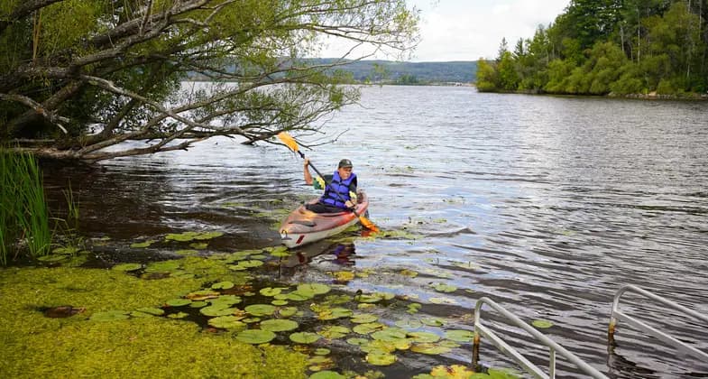
Near Duluth and Superior, the St. Louis River Estuary Water Trail shifts from harbor exposure at Lake Superior’s mouth to sheltered estuary bays, marshes, and working shoreline. The easiest way to use the St. Louis River State Water Trail is to match your launch to the water you want to paddle.
Where to launch near Duluth and the estuary
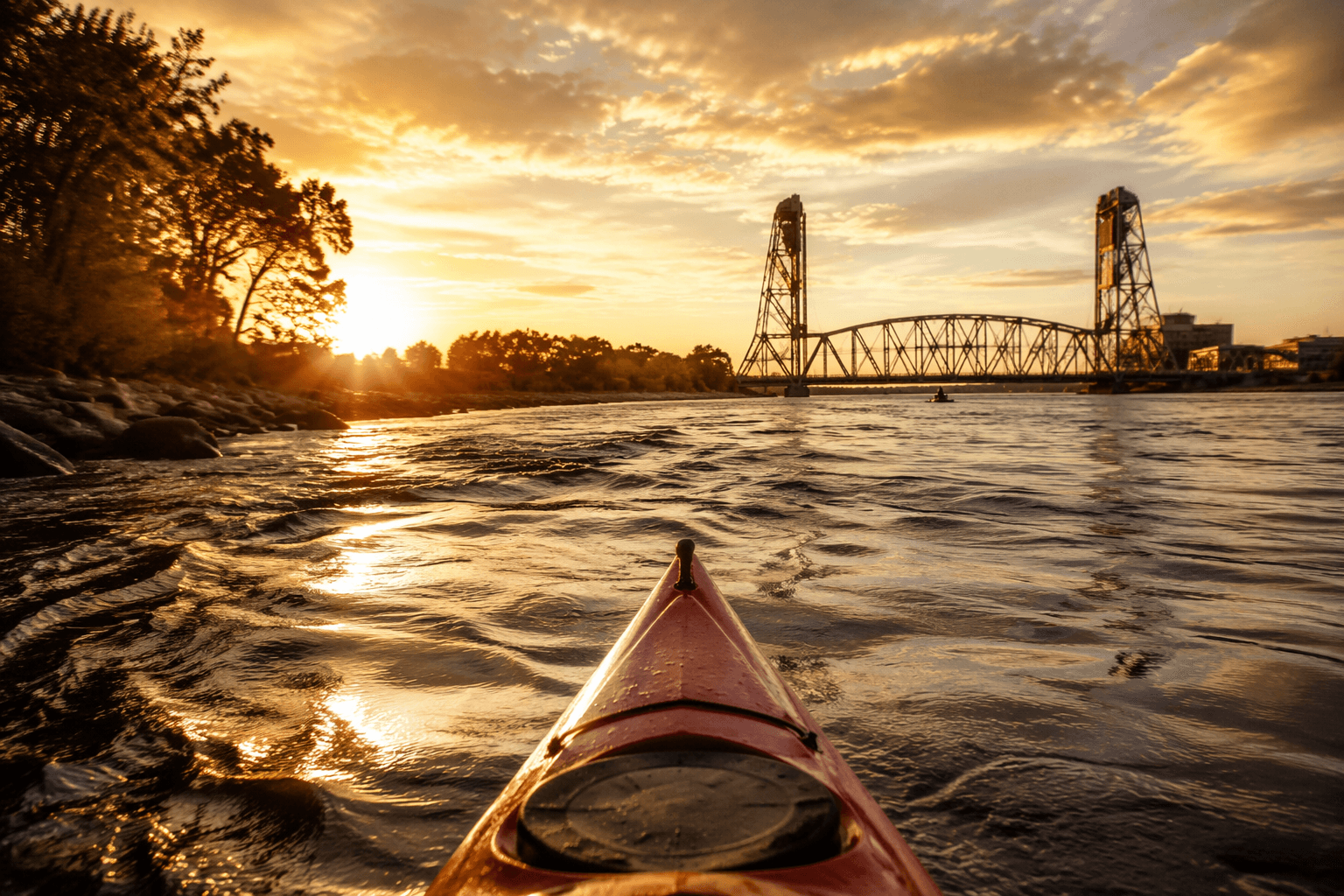
If you want the most direct connection to the lake end of the trail, start at Minnesota Point or Wisconsin Point. The Lake Superior Water Trail map places mile 0.0 there, with alternate toilets, daytime parking, and an information kiosk near the Highway 61 parking lot, and warns that large ships frequent the Duluth Lift Bridge area and that extreme caution is advised. That stretch fits paddlers comfortable with big-water conditions, boat traffic, and the realities of a harbor that still functions as working water.
For a more manageable start with trailhead amenities, Loons Foot and Brighton Beach are practical Duluth-side options. Loons Foot has trailer access with a fee, toilets, and daytime parking, while Brighton Beach is a Duluth city park with carry-in access. Those launches are better suited to shorter outings, practice runs, and anyone who wants to get on the water without committing to the full estuary corridor.
Farther upriver, the trail’s access points become more closely tied to river bends, parks, and neighborhood edges, giving residents multiple ways to reach the river without treating it like a distant destination. Spafford Park, on Dunlap Island, stands out for trailer access, drinking water, and a watercraft campsite, which makes it especially useful for longer paddles and overnight planning.
How the trail is laid out
The St. Louis River Estuary Water Trail is a 16.5-mile loop at the headwaters of Lake Superior, between Duluth, Minnesota, and Superior, Wisconsin. This is not a single open-water crossing or a casual shoreline drift. It is a mapped corridor through the nation’s largest freshwater estuary, with a defined geography and a direct link between two Twin Ports communities.
The United States Secretary of the Interior officially designated the St. Louis River Estuary National Water Trail in October 2020 and added it to the National Trails System. The route covers more than 12,000 acres.
The St. Louis River Alliance map breaks the estuary into 11 loop trails for paddlers and boaters of all skill levels and abilities. That means the water trail works less like a single prescribed trip and more like a network of choices, from quick urban outings to longer excursions that move through backwaters, protected bays, and the river mouth.
Which stretches fit which paddlers
The estuary end of the trail offers a civic tour of the shoreline. On a single paddle, the water can move from open harbor conditions to marshy edges, bird habitat, industrial shoreline, and protected bays.
If you want a shorter, more specialized outing, Fond du Lac Voyage is marked as an expert route on the St. Louis River Alliance map. It runs 2 to 3 miles and uses Chambers Grove and Historical Park as access points, with views of historic railways and the steep, rocky faces of the St. Louis River Gorge.
For paddlers moving farther inland, DNR Map 3 from Highway 2 to Lake Superior marks a series of river features that quickly change the tone of the trip. Brevator Rapids are Class I-II and dangerous in high water, and the map also marks Knife Falls Dam, Cloquet Dam, and Scanlon Dam as no-portage locations. Spafford Park sits on this same stretch, making it a useful access point for people who want trailer access and a campsite before or after navigating the river’s more technical water.
What to check before you go
Before launching, check trail conditions, campsite rules, and access information, because the waterway changes character quickly and some sections are far more exposed than others. Wind, harbor traffic, and changing water levels matter here more than they do on a sheltered inland lake.
A few details belong on every trip plan:
- Use Minnesota Point or Wisconsin Point only if you are comfortable around large ships and the Duluth Lift Bridge area.
- Treat Brevator Rapids with extra caution when water is high.
- Remember that Knife Falls Dam, Cloquet Dam, and Scanlon Dam are marked no portage on the DNR map.
- Use Spafford Park if you need trailer access, drinking water, or a watercraft campsite.
- Choose Brighton Beach or Loons Foot if you want easier urban access close to Duluth.
The St. Louis River Alliance route map divides the estuary into a series of defined loops rather than one route.
The river’s scale in St. Louis County
The Wisconsin Department of Natural Resources identifies the St. Louis River as the largest U.S. tributary to Lake Superior and puts its drainage area at 3,634 square miles. The Minnesota Pollution Control Agency places the Minnesota watershed at 3,584 square miles.
The Wisconsin DNR puts the river at 179 miles, flowing through three distinct areas before reaching the estuary.
This article was produced by Prism’s automated news system from verified source data, official records, and press releases, then run through automated quality and moderation checks before publishing. The system is built and supervised by the people who set the standards it runs under. Read our full AI policy.
Did this article answer your question?