Fire Island’s preservation story began with storm and grassroots resistance
A storm and a local revolt against overdevelopment turned Fire Island into Suffolk’s most protected barrier island. Today ferries, a lighthouse, wilderness and 17 communities still define how it is reached and lived in.

Fire Island became more than a beach when a storm exposed how fragile the barrier island was and how determined Suffolk residents were to keep it from becoming a sprawl project. Congress established Fire Island National Seashore on September 11, 1964, and the park now protects 26 miles of the 32-mile island, 17 residential communities, and 19,579 acres of marine and terrestrial property.
A preservation story born from damage and resistance
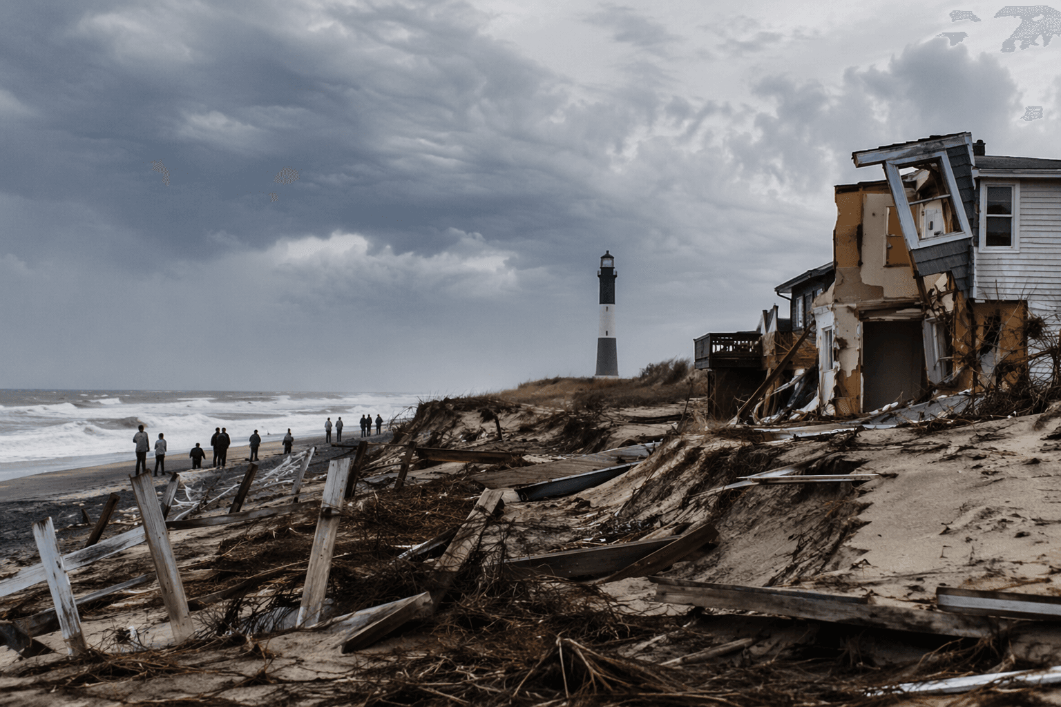
The turning point came with the Ash Wednesday Storm of 1962, which breached dunes, destroyed nearly 100 homes, and ripped roads apart. By then, the island had already been pushed toward a resort future, with roughly 5,000 private lots zoned and sold in the 1950s for development. The storm stopped that momentum and forced a different conversation about what Fire Island should be.
That shift did not happen in a vacuum. The island’s preservation era sits inside Suffolk County’s larger political history, where names such as Robert Moses, Nelson Rockefeller, Otis Pike, William Floyd, the Fire Island Association, and the Fire Island Wilderness Committee are part of the story of who shaped, defended, and interpreted the place. What followed was not just a cleanup after a storm, but a federal decision to preserve a barrier island that had already developed into a patchwork of settlements.
The result was unusual from the start. The park was designed to coexist with communities that were already there, and the enabling legislation allowed those neighborhoods to remain under zoning standards. That is why Fire Island is neither an untouched wilderness nor a conventional shoreline subdivision. It is a managed blend of homes, federal land, bay shoreline, oceanfront, and protected habitat.
The seashore’s footprint makes that balance clear. Of its 19,579 acres, about 15,000 acres are submerged in the Great South Bay or the Atlantic Ocean. On paper, it is a national seashore. On the ground, it is also a place where people still live, commute by ferry, and return to houses and docks that sit within a protected landscape.
How Suffolk reaches the island now
Fire Island still feels remote because reaching it takes planning, even though it sits close to one of the nation’s largest metro areas. From mid-May to mid-October, many visitors drive or take the Long Island Rail Road to ferry terminals in Bay Shore, Sayville, and Patchogue, then cross to island destinations by passenger ferry. That seasonal travel pattern is part of the island’s identity, shaping everything from day trips to summer moves.
The island’s access points also reinforce the split between visitor routes and year-round infrastructure. The Fire Island Lighthouse, the Wilderness Visitor Center, and the William Floyd Estate are accessible by car throughout the year, while other destinations depend more heavily on seasonal ferry service. That division helps explain why some parts of Fire Island feel active and connected even in winter, while others shut down into quieter off-season rhythms.
Several hundred people live in Fire Island communities during the winter, and the population swells in summer. Those swings are not a footnote, but a defining feature of how the island works. Fire Island is not a single village stretched along a beach. It is 17 distinct communities, each with its own traditions, seasonal pace, and relationship to the water.
The landmarks that give Fire Island its identity
Fire Island Lighthouse
The Fire Island Lighthouse is one of the island’s clearest landmarks, and one of Suffolk’s most recognizable. At 168 feet tall, it is the tallest lighthouse on Long Island. Its height matters not just as a statistic, but because it still serves as a visual marker for the island’s approach from land and water, with skyline views on clear days.
The lighthouse also anchors the island’s history in a way that pure beach scenery cannot. It is one of the places where visitors can see Fire Island as both navigation aid and heritage site, a structure that outlasted the development pressure that once threatened the island’s broader character. For Suffolk, it is a reminder that Fire Island has always been both passage and destination.
Sailors Haven and the Sunken Forest
Sailors Haven and the Sunken Forest show a different side of the seashore, one defined by ecology rather than height or visibility. The New York Natural Heritage Program describes the Sunken Forest as a globally rare maritime holly forest, which makes it one of the most unusual natural places on the island. It is also one of the best-known destinations in the seashore.
Visitors typically reach Sailors Haven by ferry from Sayville between May and October, which makes the journey part of the experience. That access pattern helps preserve the feeling that Fire Island is separate from mainland Long Island, even though it remains tightly connected to Suffolk County. The Sunken Forest is a place where the island’s protective status is visible in the landscape itself.
Otis Pike Fire Island High Dune Wilderness
The Otis Pike Fire Island High Dune Wilderness is the island’s strongest expression of federal preservation. At 1,363 acres, it is the only federally designated wilderness in New York State, and it stretches about seven miles from the Wilderness Visitor Center near Smith Point County Park to Watch Hill. It is also the smallest wilderness area managed by the National Park Service.
That wilderness designation matters because it captures the tension at the center of Fire Island. The barrier island is fragile, heavily used, and still exposed to wind, surf, and storm damage, yet it also carries a federal promise to keep part of it wild. The wilderness management plan, adopted in 1983, and a 1984 camping policy show that preserving this stretch of coast has always required active rules, not simply passive protection.
A place that still balances history, homes, and habitat
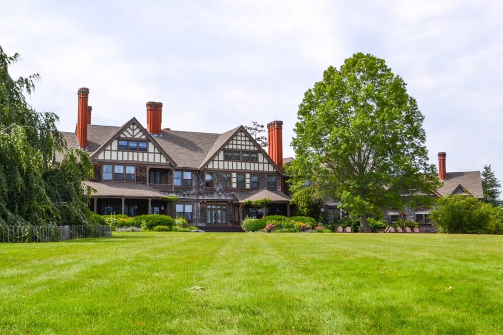
The William Floyd Estate adds another layer to the island’s story. Located in Mastic Beach, it preserves more than 250 years of history and is one of the places you can reach by car year-round. Its presence expands Fire Island’s story beyond the barrier island itself and ties it back to Suffolk’s mainland history.
That mix of access, protection, and community is what makes Fire Island unusually Suffolk. It is a national seashore created out of storm damage and local resistance, but it still functions as a lived-in place with ferry docks, seasonal crowds, winter residents, and historic landmarks. The island’s importance is not only that it survived development pressure, but that it still shows how preservation and daily life can occupy the same shoreline.
This article was produced by Prism’s automated news system from verified source data, official records, and press releases, then run through automated quality and moderation checks before publishing. The system is built and supervised by the people who set the standards it runs under. Read our full AI policy.
Did this article answer your question?