Cornish-Windsor Covered Bridge links history, engineering and river towns
The Cornish-Windsor Covered Bridge is a working 1866 crossing, a civil engineering landmark, and a route whose upkeep can affect travel, tourism and business on both river towns.
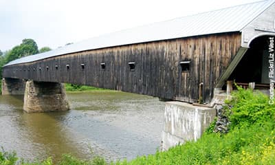
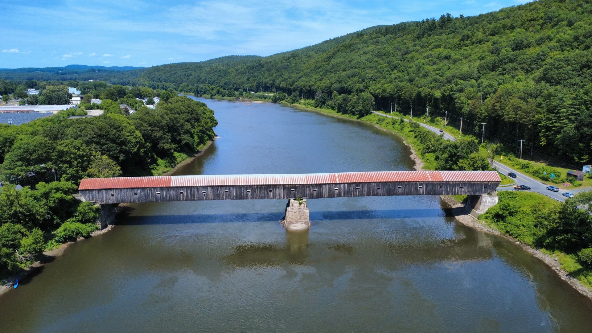
Built in 1866, the 449-foot Cornish-Windsor Covered Bridge still carries Cornish Toll Bridge Road between Cornish, New Hampshire, and Windsor, Vermont. It is both a daily transportation link and one of Sullivan County’s most recognizable pieces of working heritage. Any repair, restriction, or closure would ripple beyond photos and postcards, affecting river crossings, visitor traffic, and the small businesses that depend on movement between the two towns.
A bridge that still does a job
The bridge is a two-span timber Town lattice-truss covered bridge, a 19th-century form built around a repeated diagonal wood pattern that was valued for strength and efficiency. The American Society of Civil Engineers identifies it as a historic civil engineering landmark.
It ties Cornish to Windsor across the Connecticut River and anchors a stretch of the Upper Valley where the river functions as both a boundary and a connector. When the bridge is open, it keeps local traffic moving with less friction. When it is compromised, the impact lands quickly on commuters, visitors, and businesses on both sides of the water.
How the crossing evolved
The Cornish-Windsor span sits at the end of a long transportation sequence at this crossing. A ferry was established here in 1784, followed by the first toll bridge in 1796. That earlier bridge history did not last uninterrupted, because the crossing was repeatedly challenged by the river itself: one bridge was destroyed by a freshet in 1824, another was ruined by flood in 1849, and the 1866 bridge replaced a predecessor wrecked by a freshet.
The site has long been a working crossing where engineering, weather, and regional travel meet, and each replacement reflected a community effort to keep the crossing usable. The cost of the 1866 bridge was $9,000.
Why the landmark designation matters
The bridge held the title of the longest covered bridge in the United States until 2008, when Ohio’s 613-foot Smolen-Gulf Bridge took the record. Even after losing that distinction, the Cornish-Windsor bridge remained a major structure at 449 feet, long enough to stand apart from the smaller covered bridges that draw weekend traffic elsewhere in New England.
The Library of Congress keeps a Prints & Photographs catalog record for the bridge, noting its location in Cornish City, Sullivan County, New Hampshire. The Vermont Historical Society has a dedicated page for it.
Ownership, tolls and the shift to public stewardship
The bridge entered a new era in 1936, when it was transferred to state ownership and later overhauled. Tolls were removed in 1943, ending the era when drivers paid to cross this point on the Connecticut River. The bridge became public infrastructure even as it remained a historic structure.
The bridge has to serve traffic, preserve a 19th-century timber system, and hold its place in the landscape, requiring more attention than a simple scenic overlook. It is part of the road network, which means decisions about maintenance and access have real consequences for daily trips, riverfront businesses, and tourism tied to Cornish, Windsor, and the Upper Valley.
Preservation pressures are not theoretical
Erosion work at the bridge shows that the river continues to shape what it takes to keep the span standing and functional. The bridge was damaged after being hit by a truck, a blunt reminder that a historic covered bridge still faces the ordinary risks of a working road crossing.
The Cornish-Windsor span is a wooden structure carrying traffic over water, exposed to weather, river conditions, and vehicle damage while also drawing visitors who come to see one of the region’s best-known landmarks. When preservation work is needed, the stakes are not limited to the bridge itself. Delays, limits, or closures can change how people move between Cornish and Windsor, and that can affect tourism stops, local spending, and the convenience of everyday travel on both banks.
What Sullivan County sees in the bridge
In Sullivan County, the bridge belongs to Cornish’s riverfront identity, and the crossing serves a two-state corridor that has been in use, in one form or another, since the 18th century.
This article was produced by Prism’s automated news system from verified source data, official records, and press releases, then run through automated quality and moderation checks before publishing. The system is built and supervised by the people who set the standards it runs under. Read our full AI policy.
Did this article answer your question?