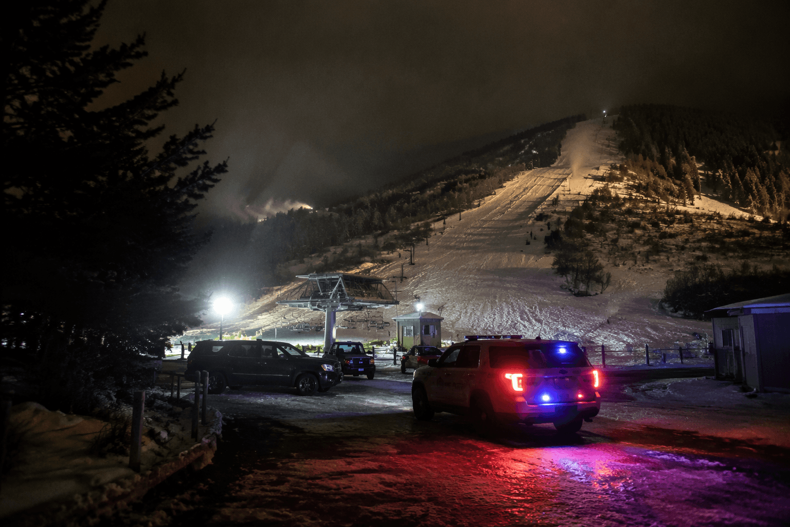
Above-normal monsoon season could raise flood, lightning risks in Summit County
An above-normal monsoon could turn Summit County’s canyons, trails, and low-water crossings into flash-flood trouble spots. The same storms can ease fire danger while raising lightning risk.
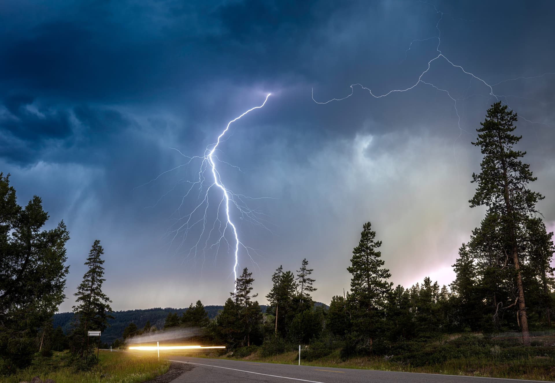
Forecasts call for an above-normal monsoon season in Summit County as peak summer begins. In a county built around steep terrain, narrow drainages, and high visitor use, that means a higher chance of lightning, sudden downpours, and fast-moving floodwater for hikers, contractors, drivers, and tourism businesses.
What an above-normal monsoon means here
The North American Monsoon typically runs from July through September, though it can begin as early as June. NOAA’s Drought.gov issued a North American Monsoon Special Edition Drought Status Update on July 16, 2024. In practice, an above-normal monsoon usually brings more afternoon and evening thunderstorms, heavier bursts of rain, and more lightning across the Southwest.
Monsoon thunderstorms in the Southwest can produce locally significant flash, urban, and small-stream flooding. In Summit County, heavy rain does not need to last long to become dangerous when it falls on slopes, drainages, and roads that cannot absorb water quickly. Even a short storm can overwhelm culverts, wash sediment onto pavement, and send runoff into places that look dry and safe a few minutes earlier.
Where the danger concentrates
The county’s most vulnerable spots are not just the familiar floodplain areas. Burn scars, slot canyons, normally dry washes, and erosion-prone terrain are places where monsoon storms can turn especially violent. In Summit County, that risk extends to trail networks, low-water crossings, road drainage areas, and the steep slopes that feed into canyons and creek corridors.
Recreation routes and access roads can become choke points very quickly. A trail that is passable in the morning may need to be closed by afternoon if a storm drops enough rain to trigger runoff or debris movement. Canyon roads and drainage channels can funnel water with little warning, which is why emergency managers treat even isolated thunderstorms as a public-safety issue rather than a routine weather annoyance.
Park City, Coalville, Kamas, Oakley, and Henefer all depend on reliable road access, clear drainage, and predictable movement for residents, workers, and visitors. When a storm hits a vulnerable drainage basin, the impacts can ripple into delayed commutes, blocked work sites, and disrupted recreation traffic across the county.
Wildfire risk does not disappear
Monsoon moisture can help suppress fire danger for stretches of the season in a dry western county. Wetter soils and greener fuels can slow the spread of fire compared with parched early-summer conditions. But the same storm pattern can also create dry lightning and wind-driven activity that starts new fires, leaving fire managers to balance one risk against another.
In a county with a mix of neighborhoods, open space, forested land, and recreation corridors, a storm that cools the landscape one day can bring lightning strikes the next, and any new fire in steep country can create the kind of burn scar that then raises flood risk later in the season.
The frequency of flood events in Utah is clearly rising, and the damage and costs tied to flooding are rising too. That trend raises the stakes for every storm, especially when runoff can strike areas that are already burdened by erosion, burn scars, or aging drainage infrastructure.
What counties and residents need ready
Summit County’s official emergency-management pages emphasize flood preparedness and emergency alerts. The county also maintains flood information and a Family Emergency Preparedness Guide.
- Know which roads, drainages, and trailheads you use most often and where they tend to flood.
- Check county emergency alerts before heading into canyons, open space, or backcountry routes.
- Avoid crossing dry washes, low-water crossings, or drainage channels when storms are nearby.
- Be ready to change plans quickly if lightning or heavy rain develops after noon.
- Keep an eye on burn scars and steep terrain, where debris flows and flash flooding can develop fastest.
The most useful readiness steps are practical and immediate:
Construction crews working near drainage channels, road shoulders, or hillside sites face delays when storms force temporary shutdowns or make soil unstable. In late summer, tourism businesses that rely on trail access, guided outings, lodging, and outdoor recreation can also feel the effects when afternoon storms interrupt schedules or close key routes. The county’s mix of seasonal visitors and ongoing development means a few minutes of rain can become a same-day operational problem.
Why timing matters across Summit County
The monsoon is most disruptive when it intersects with the county’s busiest summer period. Park City’s recreation economy, the travel corridors that connect Coalville, Kamas, Oakley, and Henefer, and the county’s open-space and trail system all depend on clear skies. A stronger monsoon does not just mean wetter afternoons; it can mean a higher likelihood that a trail closes, a drainage overflows, or a work site misses a deadline.
This article was produced by Prism’s automated news system from verified source data, official records, and press releases, then run through automated quality and moderation checks before publishing. The system is built and supervised by the people who set the standards it runs under. Read our full AI policy.
Did this article answer your question?