Summit County trail network spans 400 miles across resorts and open space
Summit County's 400-mile trail web is also its commuter network, stitched together by nonprofits, county planners, transit partners, and open-space managers.

Summit County’s trail network works like a second circulation system for the county. Roughly 400 miles of continuous non-motorized trail connect neighborhoods, town centers, resorts, and open space across Park City and the Snyderville Basin, which makes the trails useful for more than recreation alone. The practical question is not whether the miles exist, but who keeps them mapped, maintained, signed, and accessible as demand keeps growing.
How the trail system fits together
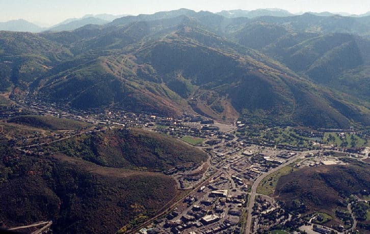
Mountain Trails Foundation describes Park City’s trail system as approximately 400 miles of continuous, non-motorized recreational trail, a scale that puts the county in a very different category from a typical resort town. The system spans two world-class mountain resorts, including one that covers 7,300 acres and another that sits beside 8,000 acres of preserved open space, so the trail map is inseparable from the county’s land-use pattern. Park City also carries an IMBA Gold Level Ride Center designation, a marker that tells riders this is a nationally recognized mountain-town network built around serious infrastructure.
That scale shows up again when the trails are broken down for users. Trailforks lists the Park City region with 20 riding areas, 3 skill parks, 1,289 trails, and 449 routes, which gives a sense of how much terrain exists once the countywide network is parsed for riders. Mountain Trails Foundation also launched an interactive trail map and resource page in June 2023 with funding from the Park City Chamber of Commerce, a sign that wayfinding has become part of the local trail economy, not just an afterthought.
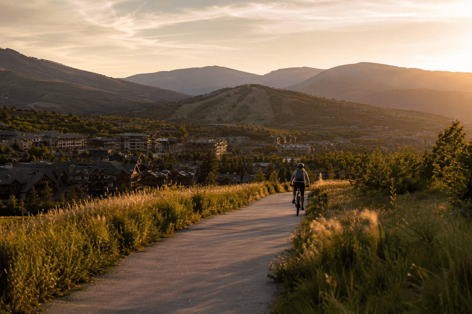
Residents use the trails as transportation as much as recreation. People move between neighborhoods and schools, run, walk dogs, bike, fat bike, and snowshoe when conditions allow, while visitors use the network as a direct route into the community’s outdoor culture. In practice, that means the county’s trail map influences daily mobility, tourism traffic, and access to open space at the same time.
Who keeps the miles usable
The trail network exists because multiple organizations share the work. Mountain Trails Foundation says it was born from community efforts and became a 501(c)(3) in September 1993, when Park City had only a few hand-cut trails. Today the organization says it provides year-round free trail access through education, advocacy, and action, which places it at the center of both stewardship and public access.
Its 2025 annual report helps explain how a network this large is maintained. The organization lists a full-time, year-round trail crew and staff roles that include executive director, trails director, resource manager, project manager, maintenance manager, and signage manager. That staffing structure matters because trail access depends on routine upkeep, not just trail building. On a system this size, signage, drainage, route repair, and seasonal maintenance are part of the public service.
Basin Recreation carries another major piece of the load in the Snyderville Basin. Its trail system includes 185 total miles of trail, with 45 miles of commuter trail and 140 miles of singletrack, and it describes the system as a gateway to the greater Park City area’s landscapes. Basin Recreation also identifies Summit Park Open Space as a 316-acre protected area that safeguards natural habitats, water quality, and scenic views, showing how trail access and conservation are tied together in the same land base.
Summit County’s 2019 Active Transportation Plan makes the countywide nature of the work explicit. The plan acknowledges Basin Recreation, the Snyderville Basin Special Recreation District, Mountainland Association of Governments, Park City Municipal Corporation, the Utah Department of Transportation, and the Utah Transit Authority, which is a reminder that trails here are managed across local, regional, and state layers. The county’s Rail Trail Corridor Project fits that same pattern, showing that Summit County is building trail infrastructure as a transportation network as well as a recreation asset.
Where access becomes a countywide system
Summit County’s Recreation and Trail Resources pages widen the frame beyond any single trailhead. They point to a countywide web that includes Summit Park, Trailside, the Park City corridor, and other connected trail systems, which helps explain why a change in one part of the county can affect access in another. This is not a collection of isolated loops; it is a linked network that depends on coordination across jurisdictions.
That coordination is also what makes the system vulnerable to gaps. When maintenance, mapping, or signage slips, the impact is felt quickly on commuter links and connector trails, especially in the places where neighborhoods meet open space or resort lands. The county’s trail economy depends on the network staying legible enough for everyday riders and walkers to trust it, which is why route information and upkeep are as important as the dirt itself.
The countywide infrastructure also supports a car-light way to move around. Summit Bike Share adds a practical transportation layer for people who want to connect to trails, transit, and town centers without driving everywhere. In a place where trails double as recreation and mobility, that kind of supporting system matters just as much as the headline mileage.
Why the trail story matters now
Summit County’s trail system has expanded from a handful of hand-cut routes in 1993 to a countywide network that now reaches across resorts, open space, and built neighborhoods. The growth has been driven by community organizing, nonprofit stewardship, public planning, and transit coordination, not by a single agency working alone. That is why the trail network is one of the clearest examples of how Summit County has built access into the landscape itself.
The future of that network will depend on whether those pieces keep moving together: Mountain Trails Foundation’s stewardship, Basin Recreation’s local trail work, county corridor projects, and the broader public agencies that help connect the system. In Summit County, the trails are already doing the job of public infrastructure. The pressure now is on keeping them open, usable, and connected as the county keeps growing.
This article was produced by Prism’s automated news system from verified source data, official records, and press releases, then run through automated quality and moderation checks before publishing. The system is built and supervised by the people who set the standards it runs under. Read our full AI policy.
Did this article answer your question?