Echo Canyon traces Summit County’s road from trail to U.S.-30
Echo Canyon is Summit County’s original transportation spine, where trail, wagon road, rail, and U.S.-30 all stacked into one corridor. What moved through it shaped who could reach the county, and it still does today.

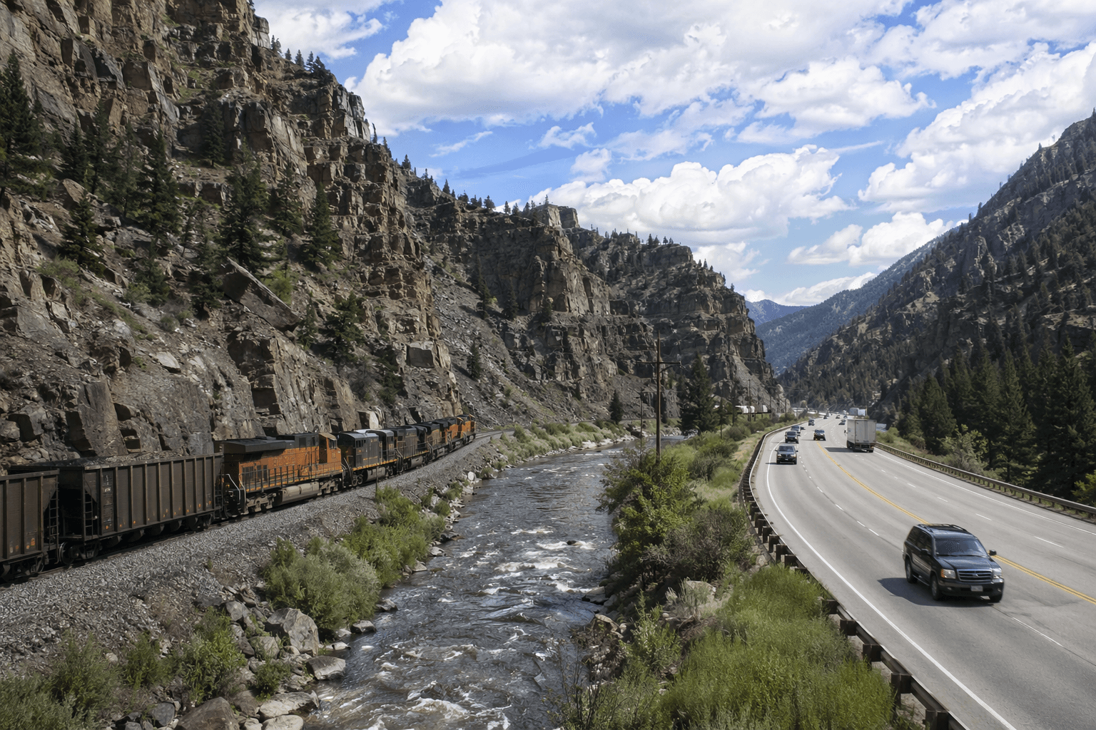
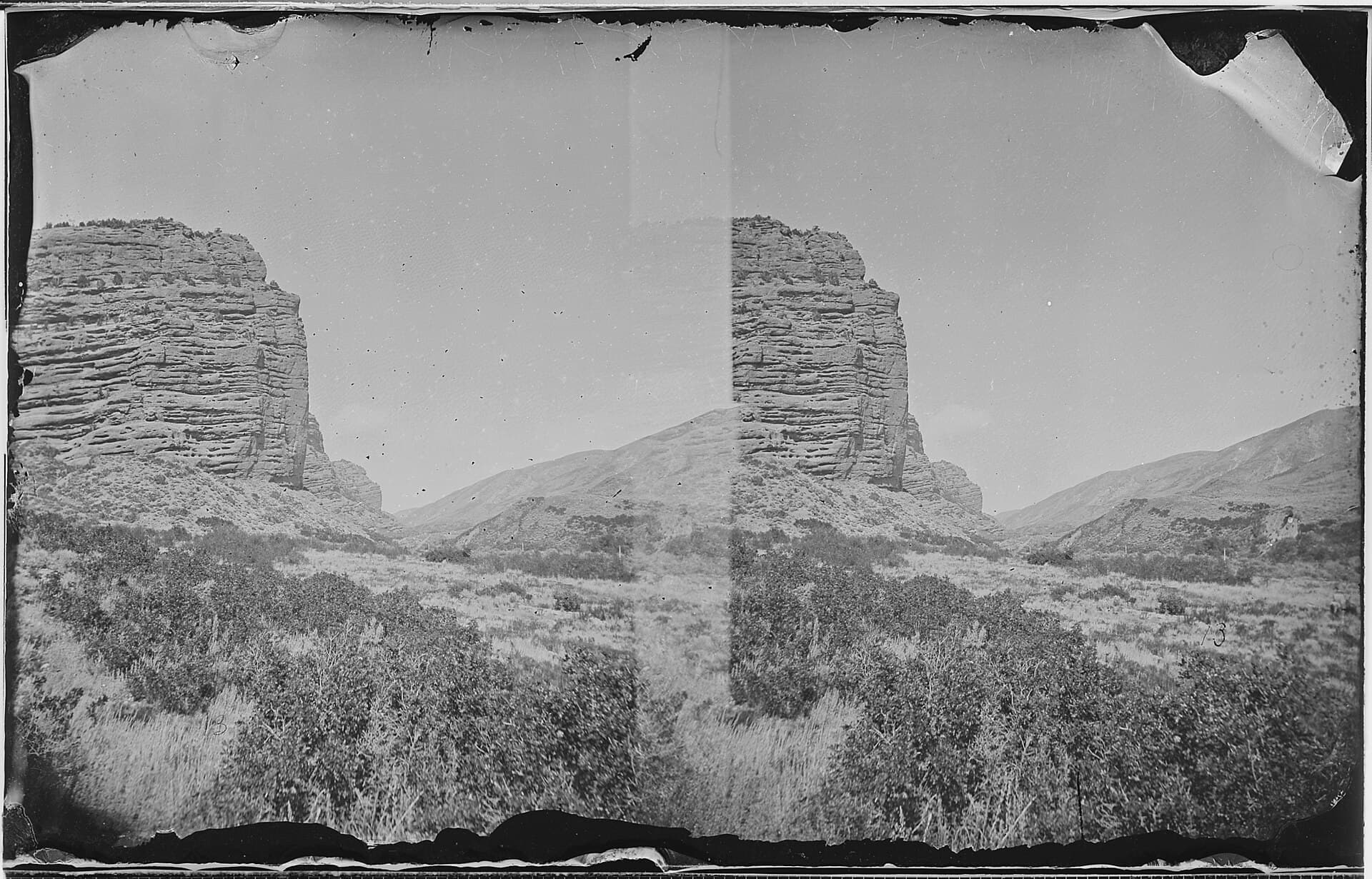
Echo Canyon is Summit County’s oldest transportation corridor in plain sight. What began as an Indian trail became a wagon road, then the Old Lincoln Highway, then U.S.-30, and today it runs as a narrow frontage road beside Interstate 80. In one canyon, the county’s past and present traffic patterns sit on top of each other.
Why Echo Canyon mattered
Summit County’s recorded history begins in the 1840s, and Echo Canyon quickly became the county’s gateway into Utah. The canyon funneled settlers, pioneers, freight, and later rail traffic through a steep, constricted passage where movement was never casual. The official county history calls it Utah’s “gateway to Utah,” and that phrase still fits the way the corridor works: if you controlled the canyon, you controlled a key route into the county and beyond.
That geography is why Echo Canyon carries so much layered history in one place. It is linked to the California National Historic Trail, the Mormon Pioneer National Historic Trail, and the Pony Express National Historic Trail. Few places in Summit County concentrate so many nationally significant routes into such a tight landscape.
From trail to wagon road
Echo Canyon’s role changed each time a new form of travel arrived, but it never stopped being a corridor. The Donner-Reed Party was the third emigrant wagon party to pass through the canyon, and the route they cut through the Wasatch Mountains became the main road into Utah for a decade. The Donner Party’s fate also fixed the route in national memory: of its 82 members, 47 survived, 35 died in the Sierra Nevada, and 5 died before reaching the mountains.
The timeline matters. Brigham Young’s advance party reached the Salt Lake Valley July 21 to 24, 1847. The first wagon was dragged over the route in 1848 by Mormon Battalion members returning to Salt Lake Valley, and Jefferson Hunt led the first party to make it an actual wagon road in 1849. Before modern highways, the canyon was narrow enough that wagon traffic had to travel single-file, which made every crossing slow, exposed, and strategic.
A military road and a national road
Echo Canyon did not stay a pioneer path for long. In 1857, Mormon militiamen built defensive breastworks above the emigrant road because they feared an attack on Salt Lake City by the U.S. Army. Those low rubble walls are a reminder that the canyon was not only a route of migration. It was also a place where politics, conflict, and defense shaped the landscape.
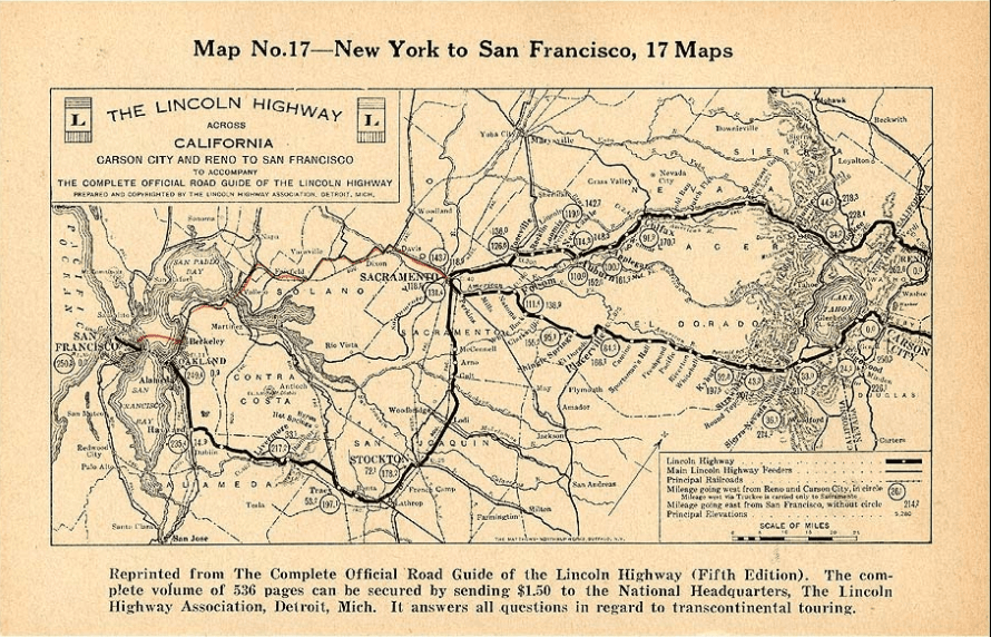
The route later absorbed another era of travel when it became the Old Lincoln Highway and then U.S.-30. That evolution from trail to federal highway is one reason Echo Canyon still matters to Summit County residents. It is not just a scenic cut through the mountains. It is part of the transportation system that still carries I-80 traffic, Union Pacific Railroad trains, communications lines, and utility lines through the county.
What to look for on the ground
Many of the historic features in Echo Canyon sit on private land, so the safest and most respectful way to see them is from the public right-of-way. The brown numbered signposts in the canyon correspond to a Summit County historical guide, which makes the drive work as both a route and an outdoor map of the county’s past.
Key landmarks to watch for
- Defensive breastworks: low rubble walls above the emigrant road, built in 1857 during fear of a U.S. Army attack.
- Cache Cave: a historic wayside where travelers in Echo Canyon often stopped.
- A station near Cache Cave: Captain Albert Tracy mentioned it in his April 1860 journal.
- Hanging Rock Pony Express Station, also called Halfway Station: located near a spring about halfway down Echo Canyon.
- The Halfway Station site: nothing remains except a marker post standing in a wagon swale.
These places are small, but they are the sort of physical details that keep the canyon legible. A marker post in a wagon swale tells the story as clearly as any museum display: people moved through here because they had to, and they kept moving because the canyon was one of the few viable passages.
Echo, Coalville, and the county beyond the canyon
Echo Canyon is not an isolated roadside landmark. It is tied directly to the community of Echo, Utah, and to Coalville, where Summit County has long preserved and interpreted its own history. That larger county story is one of movement and arrival. Trail users, wagon trains, railroad builders, and later highway travelers all passed through the same general corridor.
The county’s own historical narrative also reaches forward rather than stopping in the 19th century. Summit County connects its transportation history to the 2002 Winter Olympics, a reminder that the same geography that once funneled wagons now also helps carry visitors, workers, and event traffic. The route through Echo Canyon has always been about access, and that remains true whether the traffic is freight, commuting, tourism, or emergency response.
A corridor that still defines Summit County
Echo Canyon endures because the terrain never stopped mattering. The canyon still channels Interstate 80, rail traffic, and utility infrastructure through a space that once forced wagons to move single-file. That continuity is what makes it one of Summit County’s most revealing landmarks. It shows, in one place, how the county was opened, defended, connected, and absorbed into the modern West.
The road has changed names and technology more than once, but its function has stayed remarkably consistent: Echo Canyon remains the path through which Summit County meets the rest of Utah and the broader West.
This article was produced by Prism’s automated news system from verified source data, official records, and press releases, then run through automated quality and moderation checks before publishing. The system is built and supervised by the people who set the standards it runs under. Read our full AI policy.
Did this article answer your question?