Swaner Preserve protects 1,200 acres beside Kimball Junction growth
Swaner Preserve locks up 1,200 acres at Kimball Junction, shielding wetlands and wildlife from growth pressure while keeping public trails, birdwatching and education free to use.
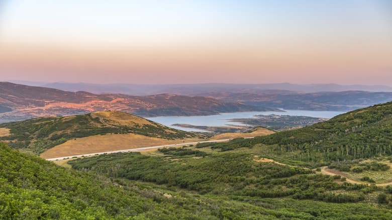
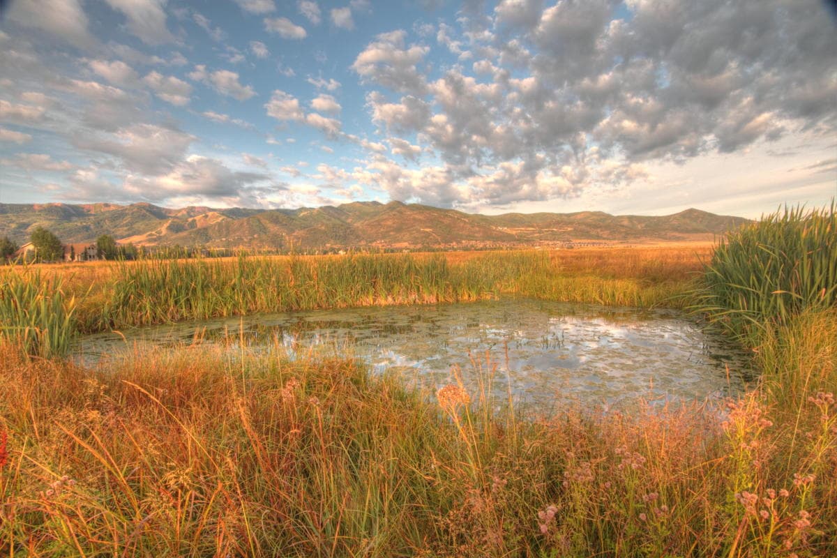
Swaner Preserve & EcoCenter holds 1,200 acres in the middle of Kimball Junction’s growth corridor, and that makes it more than a scenic stop on the edge of Park City. It is a protected wetland and upland landscape that keeps habitat intact, preserves public open space, and gives Summit County a buffer where development pressure is strongest.
The preserve also functions as a rare public asset in a place where land is expensive and available space keeps shrinking. Its value is not only ecological. It is also practical, because the preserve keeps a large stretch of the Snyderville Basin in conservation while giving residents and visitors a place to walk, learn and watch wildlife without paying an entry fee.
What the preserve protects
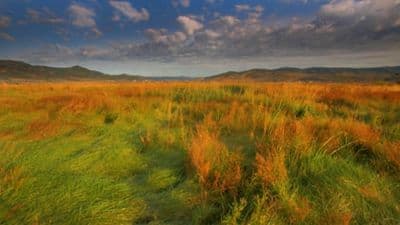
USU says Swaner permanently protects 850 acres of wetlands and 350 acres of sagebrush uplands, with 10 miles of trails for hiking, biking and snowshoeing. That mix matters because the preserve is not a single-purpose park. It is habitat, open space and a working conservation site all at once.
The birding value is especially strong. Swaner says the preserve hosts nearly 170 bird species, and its bird-and-plant guide says more than 170 species use the wetlands as a migratory stopover or live there year-round. USU also describes Swaner as a rarity in Utah because of its sizable intact wetland and broad habitat diversity, which is exactly why the land carries so much weight in a county where growth keeps pressing outward.
The preserve’s restoration work adds another layer. Swaner says it is working to return the land to its most natural state, improve streams and wildlife habitat, and partner with other organizations on conservation. Its stream-restoration work includes human-made beaver dams designed to cool water, recharge groundwater, sequester carbon and create more complex habitat. In a warming, fast-changing basin, that is not just a wildlife project. It is climate-adaptation work tied directly to place.
How to experience Swaner without losing its wild character
The EcoCenter sits at the center of the preserve as a 10,000-square-foot LEED Platinum building. USU says it was completed in 2009, then became part of Utah State University in January 2010 through a gift valued at more than $30 million, which the university described as the largest private gift in its history. That transfer gave the preserve institutional staying power, so the land is not dependent on a private owner’s priorities or a short-lived campaign.
Visitors can still encounter the place directly. Swaner offers free admission, weekly nature tours, wildlife viewing opportunities, summer camps and evening lecture series. The site also includes a 400-foot pier and a four-story wildlife tower, both designed to let people look out over the wetlands without overwhelming them.
The public-facing side of the preserve is deliberately low-key. The gift shop carries local and ecofriendly art, which fits the larger mission of connecting people to the land rather than turning it into a commercial attraction. That balance is part of Swaner’s identity: the preserve works as an accessible outdoor space, but it remains rooted in conservation instead of entertainment.
A landscape with a long local history
Swaner’s modern role makes more sense when you put it in a longer timeline. USU traces the earliest origins of the land to 1600s Native Americans, who called it Holy in the Sky. Brigham Young and Mormon pioneers later passed through the area on their way to the Salt Lake Valley, and the basin also carried a 19th-century stage line and a diverted Pony Express route.
Transportation and extraction then reshaped the region again. USU’s railroad history shows the Utah Central line was completed in January 1870, and the Eastern rail line from Echo to Park City began in the early 1870s. Ore mining arrived in 1868, adding another layer to the way the Wasatch Back moved from Indigenous homeland and travel corridor into a rail-connected mining landscape.
The preserve’s own land-use story is just as revealing. A 2025 Park Record history column said at least 550 acres of the property were once high-quality wetlands, citing the Natural Resources Conservation Service. In 1993, the Swaner family began moving away from agricultural use to restore the wetlands now conserved by the preserve. That shift turned a working landscape into a restoration landscape, and it helps explain why Swaner is now one of the most consequential open-space holdings at the county’s gateway.
Why the next decade matters
The preserve is not frozen in place. Swaner’s 2026-2030 strategic plan describes the site as a community hub for conservation, research, education and connection, and it says the plan was shaped through a community-engaged process involving staff, board members, partners, neighbors, educators, families and other community members. That matters in Summit County because the preserve sits in the heart of one of Utah’s fastest-growing areas, where the question is not whether change is coming, but whether land like this remains intact as it does.
KPCW reported that the previous strategic plan dated to 2003, which means the new plan is more than an administrative update. It is a reset for how a major public preserve serves a county that has grown up around it. The practical stakes are straightforward: keep the wetlands intact, keep the trails open, keep the wildlife habitat functioning and keep a public foothold at Kimball Junction as the development corridor continues to expand.
Swaner’s importance comes from that combination of uses. It protects a rare wetland system, gives Summit County free access to a substantial public landscape, and anchors a portion of the basin where conservation still has a measurable land-use value.
This article was produced by Prism’s automated news system from verified source data, official records, and press releases, then run through automated quality and moderation checks before publishing. The system is built and supervised by the people who set the standards it runs under. Read our full AI policy.
Did this article answer your question?