Comstock’s rail, water and history helped it survive in Val Verde County
Comstock survived because rail lines, a natural lake and roadside services gave travelers and ranchers a place to stop in a county where distance rules everything.

Comstock endures because it solved a basic West Texas problem: how to live and do business in a dry, far-flung place where people and freight had to keep moving. The town sits on U.S. Highway 90, State Highway 163 and the Southern Pacific Railroad, about 29 miles northwest of Del Rio, and its location turned rail access, water and commerce into a single survival strategy. In Val Verde County, that combination mattered more than scenery or luck.
A settlement built around movement and water
The modern town took shape in the 1880s, when the Galveston, Harrisburg and San Antonio Railway pushed through Val Verde County in 1882 and 1883. The station was named for railroad dispatcher John B. Comstock, and the townsite, first called Sotol City, was moved to its present location so it could use water from a nearby natural lake. That detail explains almost everything about Comstock’s origin: without dependable water, even a rail stop in the middle of a transportation corridor could fail.
A post office was granted in 1888, which marked the shift from an isolated stop to a functioning community. The town was no longer just a point on a line. It had a mailing address, a place to receive freight, and enough continuity for people to build around it.
The businesses that made the town useful
Comstock’s early economy was built on service, not size. By 1888, George Washington Ames had opened a general store selling groceries, lumber, salt, livestock feed and ranch supplies. That mix tells you who depended on the town: ranchers, teamsters, travelers and anyone trying to keep animals, wagons and homes supplied in a county where distances were long and settlements were thin.
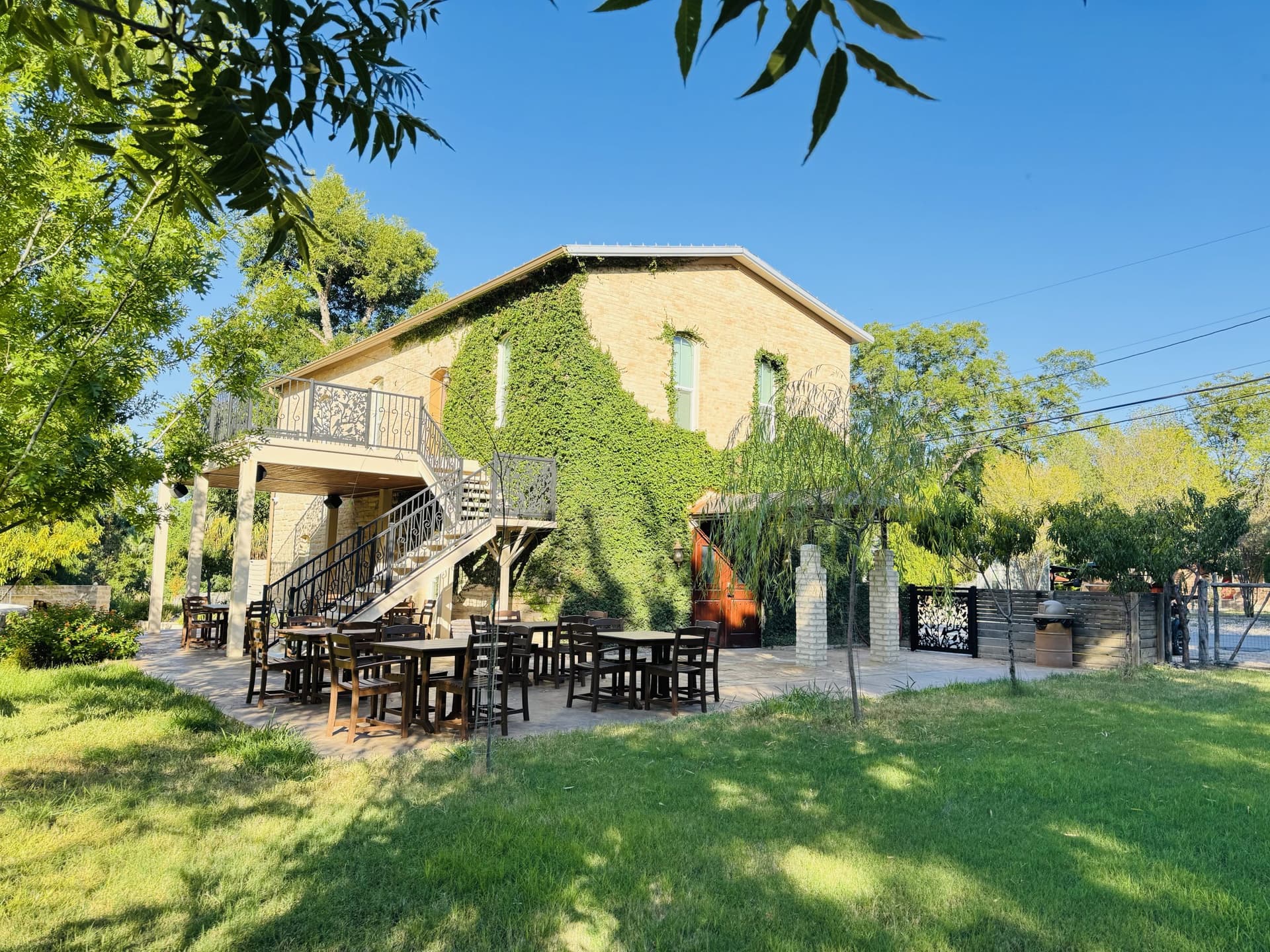
The Deaton Stage Line also ran a six-horse coach between Comstock and Ozona, changing teams four times along the way. That route connected the town to wider travel networks before highways became dominant, and it made Comstock a stopping point for people who needed mail, freight and a fresh team. The Phillips Hotel opened in 1889 for overnight travelers, and the Texas State Historical Association notes that the company delivered mail and hauled freight. In 1890, the D. C. Denny Lumber Yard was established, later becoming Uncle Denny’s Saloon and Billiard Hall, another sign that the town’s earliest buildings served practical needs before they became part of the local social life.
By 1901, the local public school had one teacher and 89 students, a small but real measure of permanence. By 1925, the population had reached 200. Those numbers were modest, but they show a town that held on long enough to become more than a temporary stop.
Why this place held on when others disappeared
Val Verde County is huge by Texas standards. It covers 3,144.7 square miles of land area and ranked as the seventh-largest county in Texas by total area, but its 2020 population was only 47,586. That spread of land and people helps explain why Comstock mattered: in a county shaped by desert terrain, ranching and long travel distances, a rail stop with water and services could anchor daily life in a way a smaller, less connected settlement could not.
The pattern also reflects how communities formed across West Texas. Railroads opened inland settlement by carrying mail, freight and people where roads were poor or nonexistent. Stage lines and roadside businesses filled the gap until highways took over. Comstock survived because it sat at the intersection of those systems, not because it was large.
A landscape with a much older story
Comstock’s survival sits on top of a far deeper human history. The Texas State Historical Association says people lived nearby thousands of years earlier in caves and rockshelters, leaving seeds, tools, burial sites, clothing fragments and cave art. In the broader Lower Pecos Canyon District, the first people may have settled there as early as 6,000 to 10,000 years ago.
The region’s recorded history reaches back at least to 1535, when Álvar Núñez Cabeza de Vaca is thought to have crossed the Devils River. That long timeline matters because Comstock is not an isolated rail town dropped into empty country. It is one chapter in a landscape that has drawn people for millennia because of water, shelter, travel routes and access to resources.
What to see around Comstock
The town also works as a starting point for the nearby public lands that interpret this deeper history. Seminole Canyon State Park & Historic Site is nine miles west of Comstock on Highway 90. The site offers a bookstore, campground, interpretive center and guided tours to pictograph sites, making it one of the most important places in the region to understand the Lower Pecos story on the ground.
Farther out, Amistad National Recreation Area presents the borderlands as a water-based destination with cultural history dating back nearly 5,000 years. Its appeal is different from Comstock’s rail-and-road logic, but it is connected to the same geography: water, movement and human adaptation in a harsh landscape. Together, Seminole Canyon and Amistad show why this stretch of Val Verde County continues to draw visitors, researchers and outdoor travelers.
Why Comstock still matters in Val Verde County
U.S. Highway 90 remains a major transportation corridor in Texas, and that continuity is part of Comstock’s story. The town was built around movement in the railroad era, and it still sits on one of the state’s important east-west routes. Even as travel patterns changed, the logic of the place stayed the same: if you had rail access, water and a reason for people to stop, you had a chance to survive.
Comstock’s history is useful because it shows how West Texas settlement worked in practice. Water made the site livable, rail made it reachable, and roadside commerce made it useful. In a county as large and thinly populated as Val Verde, that combination was not just convenient. It was the difference between a town that disappeared and a town that remained part of the map.
This article was produced by Prism’s automated news system from verified source data, official records, and press releases, then run through automated quality and moderation checks before publishing. The system is built and supervised by the people who set the standards it runs under. Read our full AI policy.
Did this article answer your question?