Flash Flood Warning issued for Val Verde County as Pecos River surges
A flash flood warning covered Val Verde County until 7 a.m. as the Pecos River surged more than 10 feet in 90 minutes near Pandale Crossing.
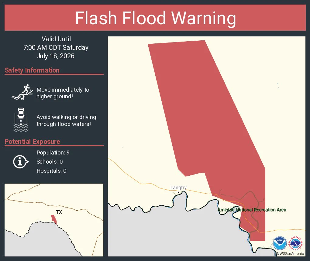
National Weather Service forecasters issued a flash flood warning for Val Verde County that was set to run until 7:00 a.m. CDT on July 18 as a dangerous flood wave raced down the Pecos River. Gauges showed the river rising more than 10 feet in 90 minutes, with officials warning that conditions could be life-threatening along the river corridor.
The most immediate risk centered on Shumla, Pandale and the Pecos River Boat Ramp, where low-lying areas near the river were exposed to fast-moving water overnight. The National Weather Service Austin/San Antonio zone page for Val Verde County listed Del Rio and Del Rio International Airport as the local forecast point, a reminder that the warning covered a broad rural border county with long stretches of river access and limited alternate routes.

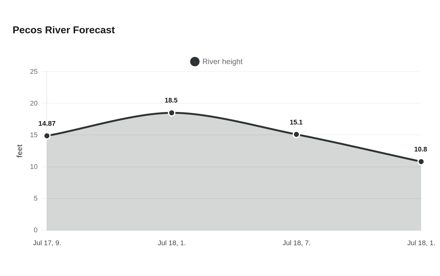
At Pandale Crossing, NOAA and National Weather Service gauge data showed the Pecos River at 14.87 feet at 9:15 p.m. CDT on July 17. The forecast called for the river to climb to 18.5 feet by 1 a.m. on July 18, then ease to 15.1 feet by 7 a.m. and 10.8 feet by 1 p.m. That rise put the river in flood stage through the night and left residents near crossings and camps with little margin for error.
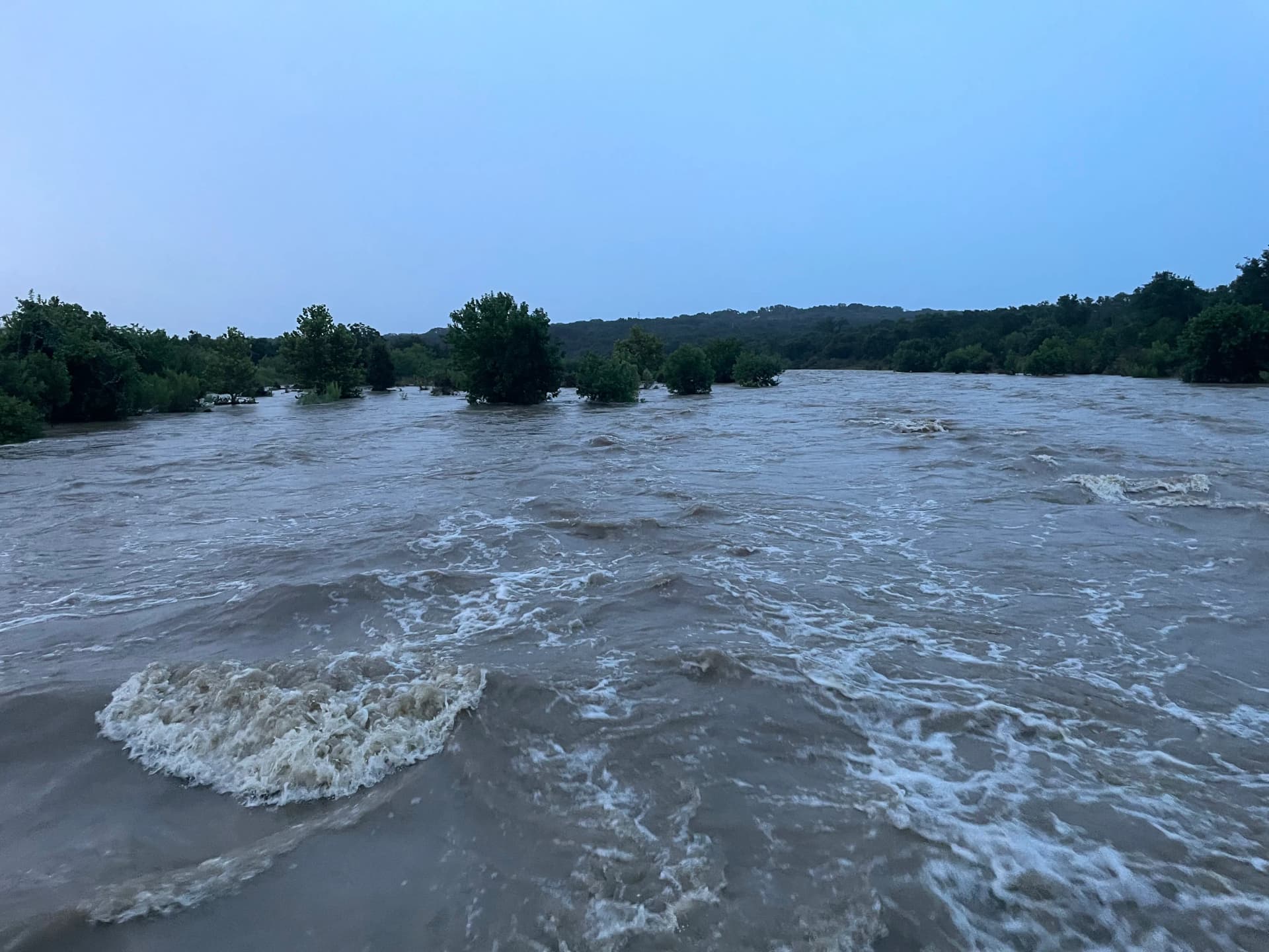
The warning was especially notable because forecasters said the crest could be the highest on the Pecos River since 1974. For people living along the river, the practical concern was not just the height of the water but how quickly it was moving, with flood waves capable of isolating roads, cutting off access to riverfront properties and making nighttime travel dangerous.
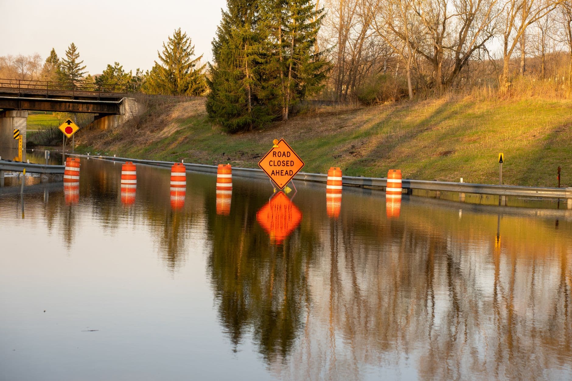
Val Verde County has seen what the Pecos can do before. Texas Co-op Power has documented the Pecos River Flood of 1954, when heavy rain from Hurricane Alice sent a wall of water through the river basin and washed out a highway bridge near Langtry. That history is part of why officials treat a fast-rising Pecos as a serious threat, especially when gauges are climbing by double digits in a matter of minutes.
Residents were urged to stay away from flooded roads and monitor official warnings through the night, especially in areas nearest the river. With the forecast still calling for high water into the early morning hours, the danger in Val Verde County remained tied to one thing: whether the Pecos kept rising before daylight.
This article was produced by Prism’s automated news system from verified source data, official records, and press releases, then run through automated quality and moderation checks before publishing. The system is built and supervised by the people who set the standards it runs under. Read our full AI policy.
Did this article answer your question?