Flood watch issued for Val Verde County as heavy rain threatens Del Rio
Del Rio is under a flood watch through Thursday evening as isolated 10-inch rains threaten San Felipe Street, Vega Verde and county arroyos.
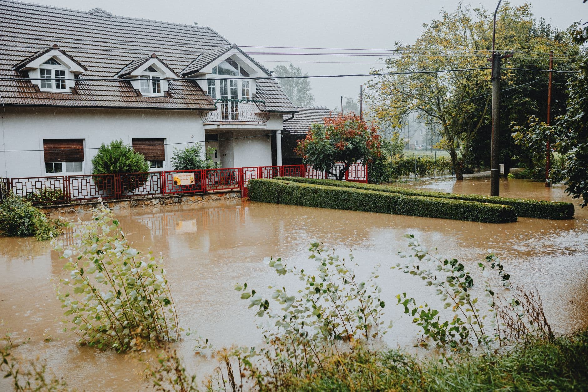
The National Weather Service kept a flood watch in effect for Val Verde County from 9 p.m. July 13 through 7 p.m. July 16, warning that southwest Texas faces potentially life-threatening flash and arroyo flooding through Thursday. Storm totals of 2 to 6 inches are possible across much of the watch area, with isolated 10-inch amounts, and rainfall rates could reach 2 to 4 inches an hour at times. Soil along the Rio Grande near Del Rio is already saturated after earlier rain.
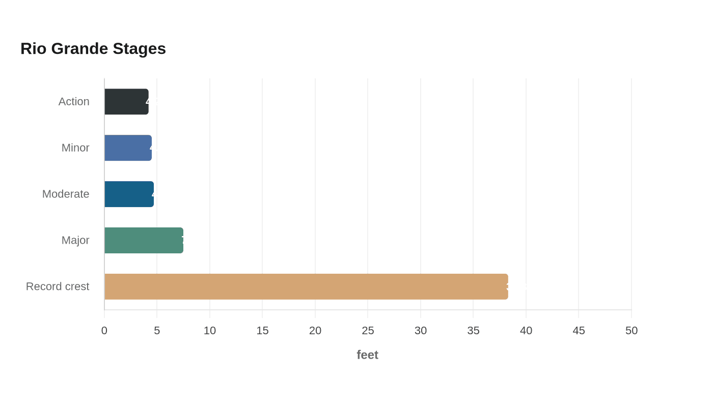
In Del Rio, the Rio Grande gauge lists action stage at 4.2 feet, minor flooding at 4.5, moderate flooding at 4.7 and major flooding at 7.5, with a record crest of 38.3 feet. Major flooding can affect homes, businesses, streets and bridges along San Felipe Street, including the Guyler Street bridge, and can inundate the Vega Verde subdivision below Amistad Dam.
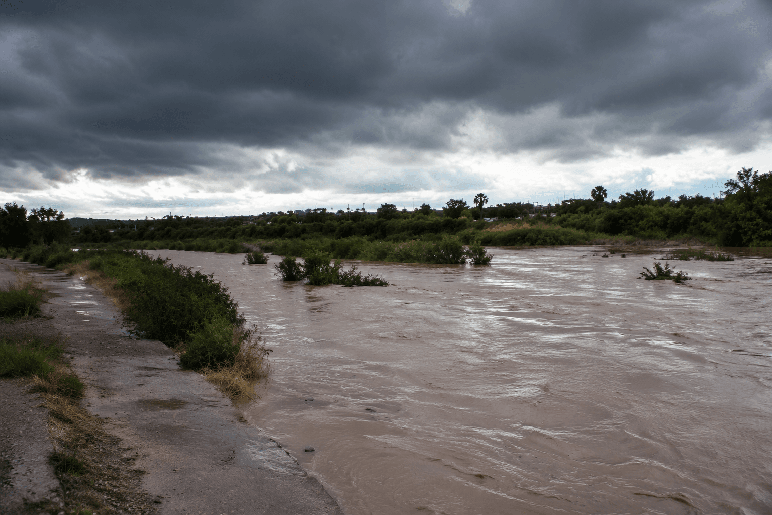
TxDOT says flash flooding is the leading cause of weather-related deaths in Texas and that most flood-related deaths happen in vehicles; it also warns that as little as six inches of fast-moving water can make a driver lose control. Excess runoff can flood rivers, creeks, streams, low-lying and flood-prone places, poor-drainage urban streets and low-water crossings, with extensive street flooding possible.
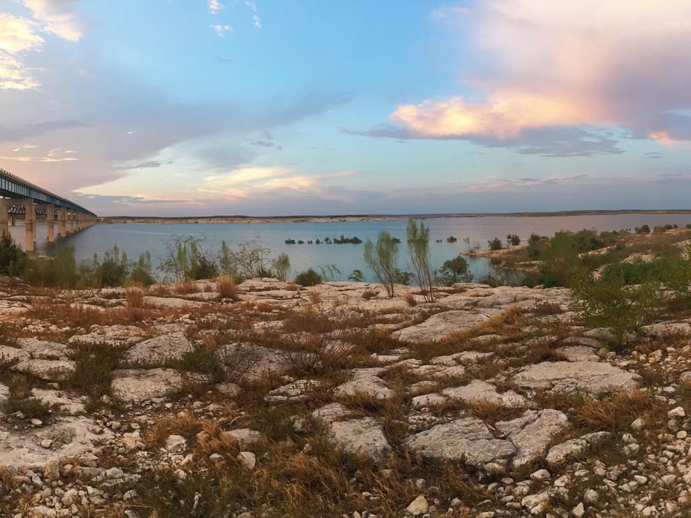
Amistad Dam, about 11.81 miles north of Del Rio, was built for flood control and water conservation; construction began in 1963, it was completed in 1969, and it was dedicated that year by Presidents Richard M. Nixon and Gustavo Díaz Ordaz. International Amistad Reservoir in Val Verde County marks the start of the Lower Rio Grande Flood Planning Region.
This article was produced by Prism’s automated news system from verified source data, official records, and press releases, then run through automated quality and moderation checks before publishing. The system is built and supervised by the people who set the standards it runs under. Read our full AI policy.
Did this article answer your question?