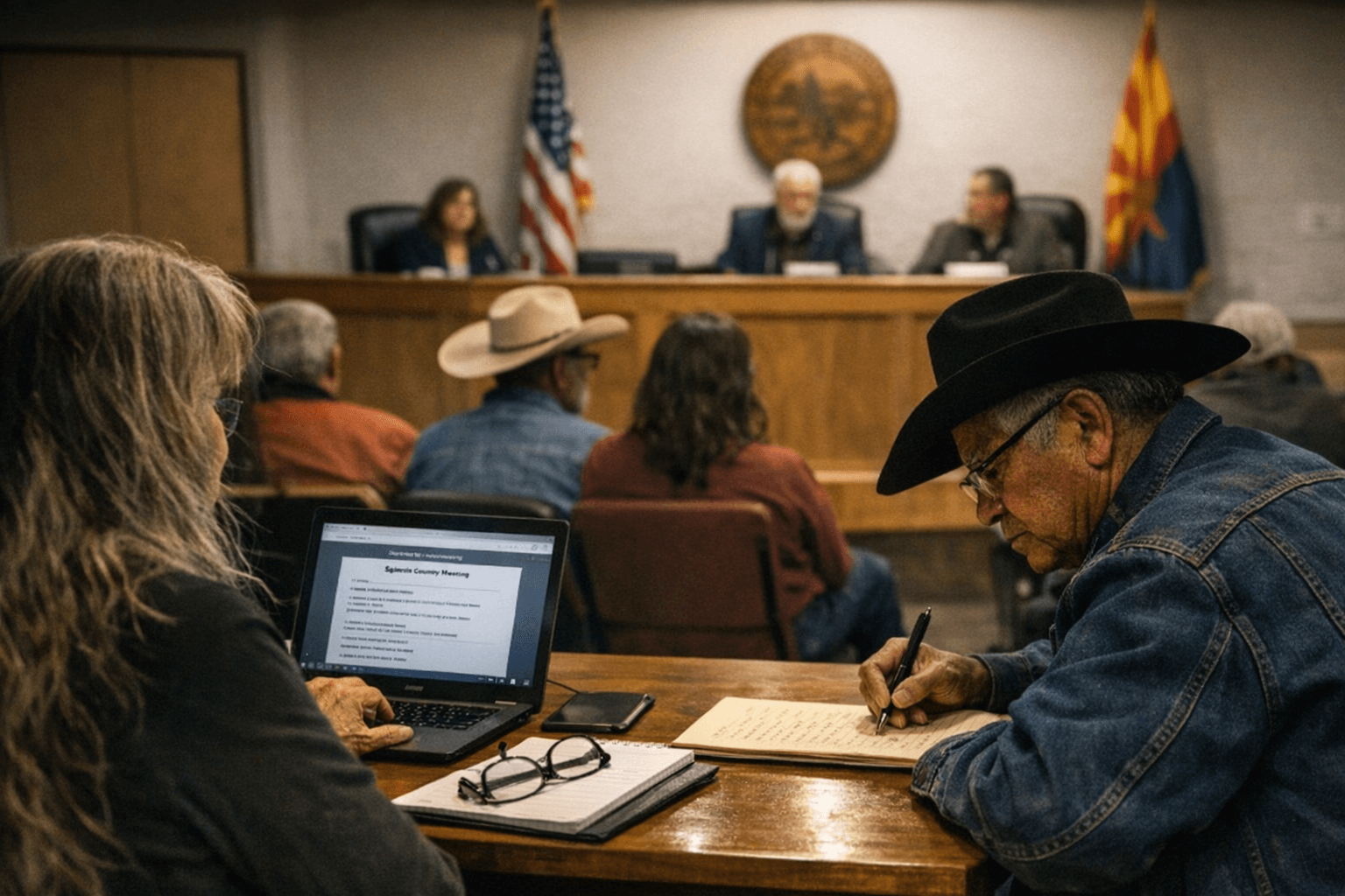
200-Acre East Eagle Prescribed Burn Planned Near Baldy Bill Point
A 200-acre prescribed burn, East Eagle Rx, is planned near Baldy Bill Point to secure control lines; smoke may affect AZ State Hwy 191, Eagle Creek and Honeymoon Campground.
A 200-acre prescribed burn called East Eagle Rx is planned on the south side of Forest Road 54 near Baldy Bill Point to help secure control lines for future projects, Apache-Sitgreaves National Forests communications report. The project site sits roughly 10 miles south of Hannagan Meadow and about 2 miles west of AZ State Hwy 191, and managers say the work is meant to reduce overgrown vegetation to protect communities, infrastructure and natural resources from wildfire.
The timing for ignitions varies across agency and local notices: a USDA Forest Service operations page, last updated January 22, 2026, said prescribed fires were "starting Monday, January 26" and estimated work would continue through February pending approvals, while a one-line notice on Ein Az referenced prescribed fire operations on Tuesday, February 17 pending approvals. A Prescott Times article dated March 4, 2026 said the Apache-Sitgreaves National Forests were "planning prescribed fire operations this week pending all required approvals" and estimated the work to continue throughout the week as weather allows. All three sources repeat the same contingency: pending required approvals and weather conditions.
Public safety measures named by the Forest Service and repeated in local notices include temporary area closures and signage. "Those areas may close to the public for several days for public safety. Watch for warning signs along roads near all prescribed fire areas before and during burns," the Forest Service advised. The agency also identified a specific site closure: "The Benny Knoll slash pit will be closed to entry for public safety for several weeks starting immediately before ignitions occur to give fire managers time to prep the pit and allow the piled slash to burn down," and referenced map files including "Benny Knoll Burn Pit Piles West of Big Lake Rx Map" and "Springerville RD West Escudilla Rx Jackpot Piles Map."
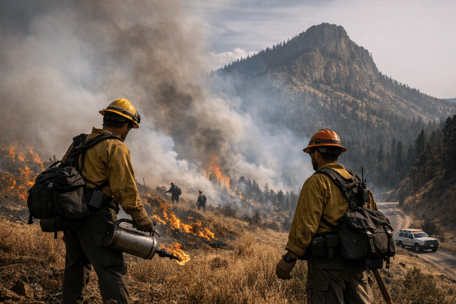
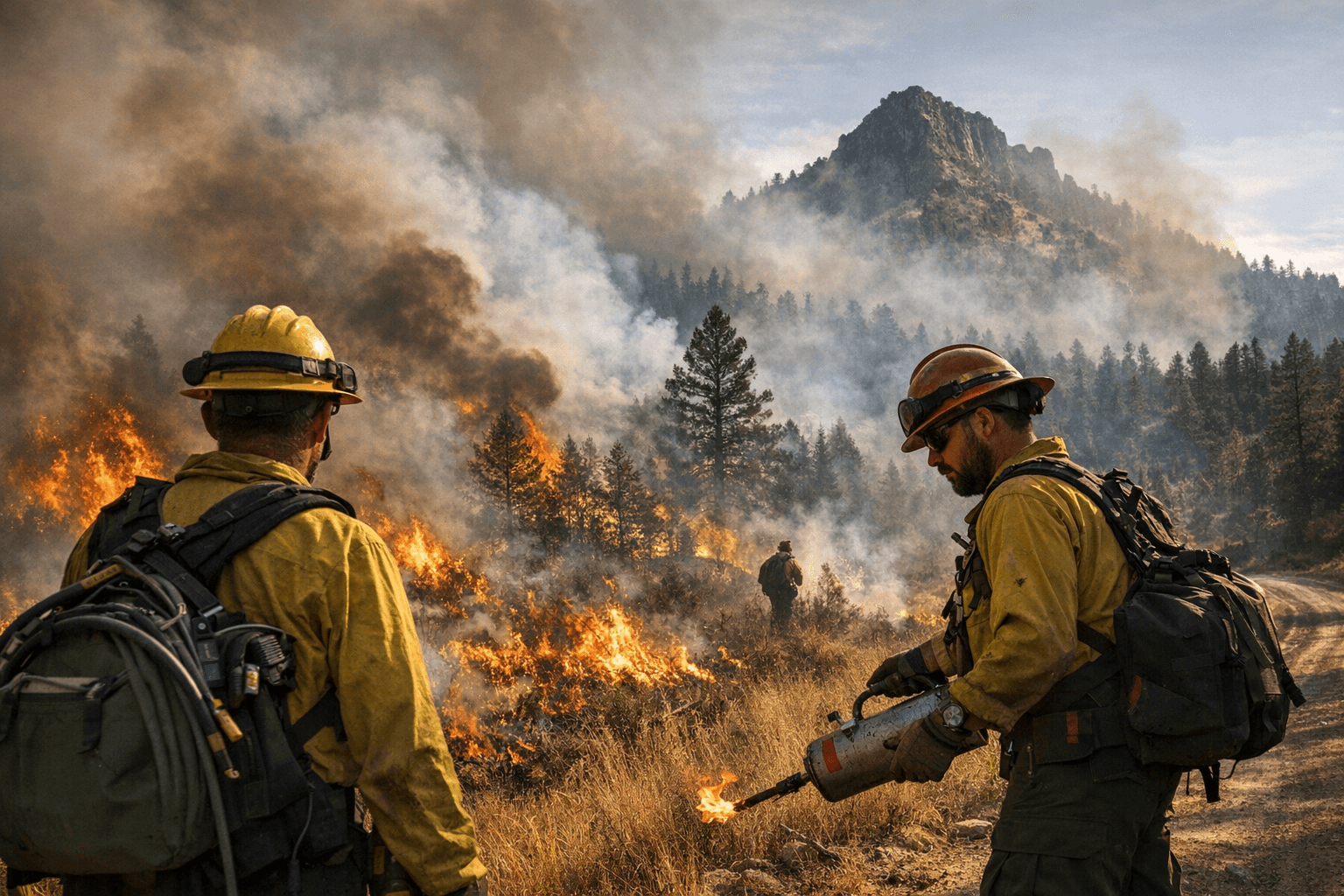
Managers warned that smoke impacts could be visible along travel corridors and at local recreation points. Prescott Times cautioned that "Smoke may be visible from portions of AZ State Hwy 191, the community along Eagle Creek, and Honeymoon Campground." For air quality, officials directed the public to monitor AirNow and reiterated travel guidance: "When driving, slow down and turn on your headlights when you encounter smoke on the road."
For ongoing updates, the Forest Service and local posts tell residents to follow official channels: "Stay informed about the scheduled prescribed fires through the forest website, social media channels, and InciWeb, the interagency incident information system. We will notify county emergency management officials when burning begins." The agency emphasized operational gating: "We will evaluate weather conditions in the hours before a burn begins. If conditions warrant, scheduled prescribed fire activities may be canceled."
East Eagle Rx sits within a broader prescribed-fire program that the Apache-Sitgreaves National Forests have staged across multiple ranger districts, and the Forest Service material and local media make clear exact ignition dates remain subject to approvals and real-time weather evaluations.
Know something we missed? Have a correction or additional information?
Submit a Tip