Arthur remnants trigger deadly flooding threat across the Gulf Coast
Arthur had already fallen to a low-pressure area, but forecasters still warned of catastrophic flash flooding from eastern Louisiana to the Florida Panhandle and overnight tornadoes.

Arthur lost its tropical identity quickly, but the danger did not. The National Hurricane Center said Tropical Storm Arthur formed on June 17 and then degenerated into a low-pressure area along the upper Texas coast by 10 p.m. CDT that same night, while still warning that life-threatening flooding would continue across portions of the southeastern United States.
The worst rain threat stretched far beyond the storm’s center. NOAA warned of a rare high-risk level for excessive rainfall from eastern Louisiana to the Florida Panhandle, and National Weather Service offices in New Orleans, Baton Rouge, Lake Charles, Shreveport and Corpus Christi warned of life-threatening, potentially catastrophic flash flooding across the central Gulf Coast. The forecast also kept isolated brief tornadoes and damaging gusts in play overnight across the Southeast, a reminder that the hazards after landfall can be as dangerous as the storm itself.
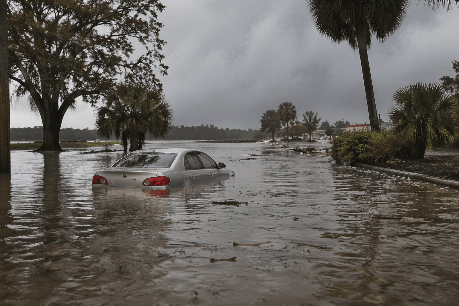
In Louisiana, the remnant system kept dumping rain on already vulnerable areas. The National Weather Service in Shreveport said parts of north and central Louisiana could still pick up another 1 to 2 inches, enough to trigger localized flash flooding. The warning left little room for complacency in communities far from the coast, where water can rise fast on roads, in neighborhoods and in low-lying areas once the heavy bands keep training over the same ground.
State officials moved as the threat spread inland. Louisiana Gov. Jeff Landry declared a state of emergency in response to Tropical Storm Arthur, and local reporting said post-tropical Arthur had deteriorated further as it moved inland Thursday morning. The storm’s center was re-formed northeastward near Galveston, Texas, before the system weakened, underscoring how a cyclone can keep producing damaging rain long after the headlines shift away from the coast.
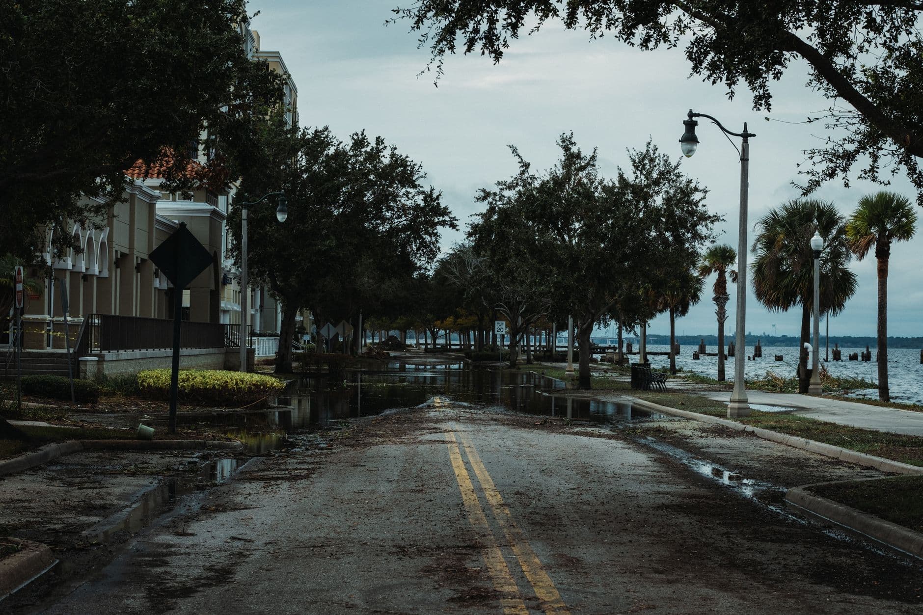
By 2 a.m. EDT Friday, NOAA and the National Hurricane Center said there were no tropical cyclones in the Atlantic, but that did not mean the threat had passed. Arthur’s remnants were still over the southeastern United States, with life-threatening flooding, brief tornadoes and damaging gusts all remaining possible. The storm showed how quickly a named system can fade on a map while its rain, spin and river runoff keep threatening communities inland.
This article was produced by Prism’s automated news system from verified source data, official records, and press releases, then run through automated quality and moderation checks before publishing. The system is built and supervised by the people who set the standards it runs under. Read our full AI policy.
Know something we missed? Have a correction or additional information?
Submit a Tip