Australia’s fire lessons, Indigenous burning shapes wildfire preparedness
Black Summer turned prevention into an emergency test. Australia’s mix of Indigenous burning and satellite tracking is now the model Europe is studying.
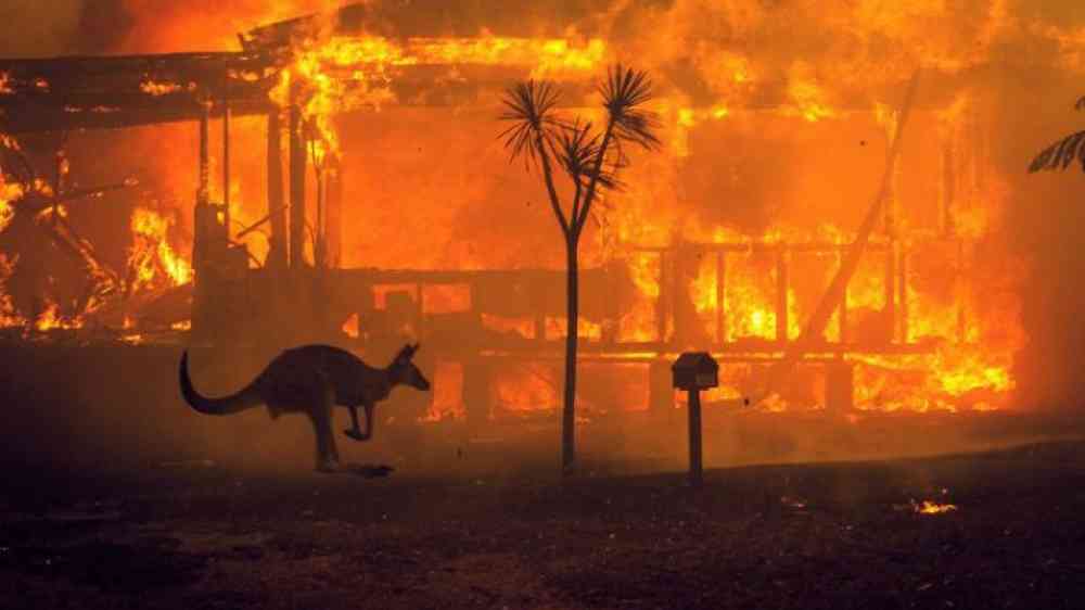
The Australian Public Service Commission recorded 33 people dead, more than 3,000 homes destroyed and more than 17 million hectares burned before Australia’s Black Summer season ended. In New South Wales alone, the Australian Disaster Resilience Knowledge Hub recorded 26 fatalities and 2,448 homes destroyed, the worst bushfire season the state had recorded.
Black Summer reset the risk calculus
Those losses also focused attention on Australia’s fires arriving earlier, lasting longer and moving through more territory as climate-linked fire weather worsened. In 2021, CSIRO found that forest fires in Australia are burning more land across more of the year than ever before, a shift that makes emergency response alone too late to matter.
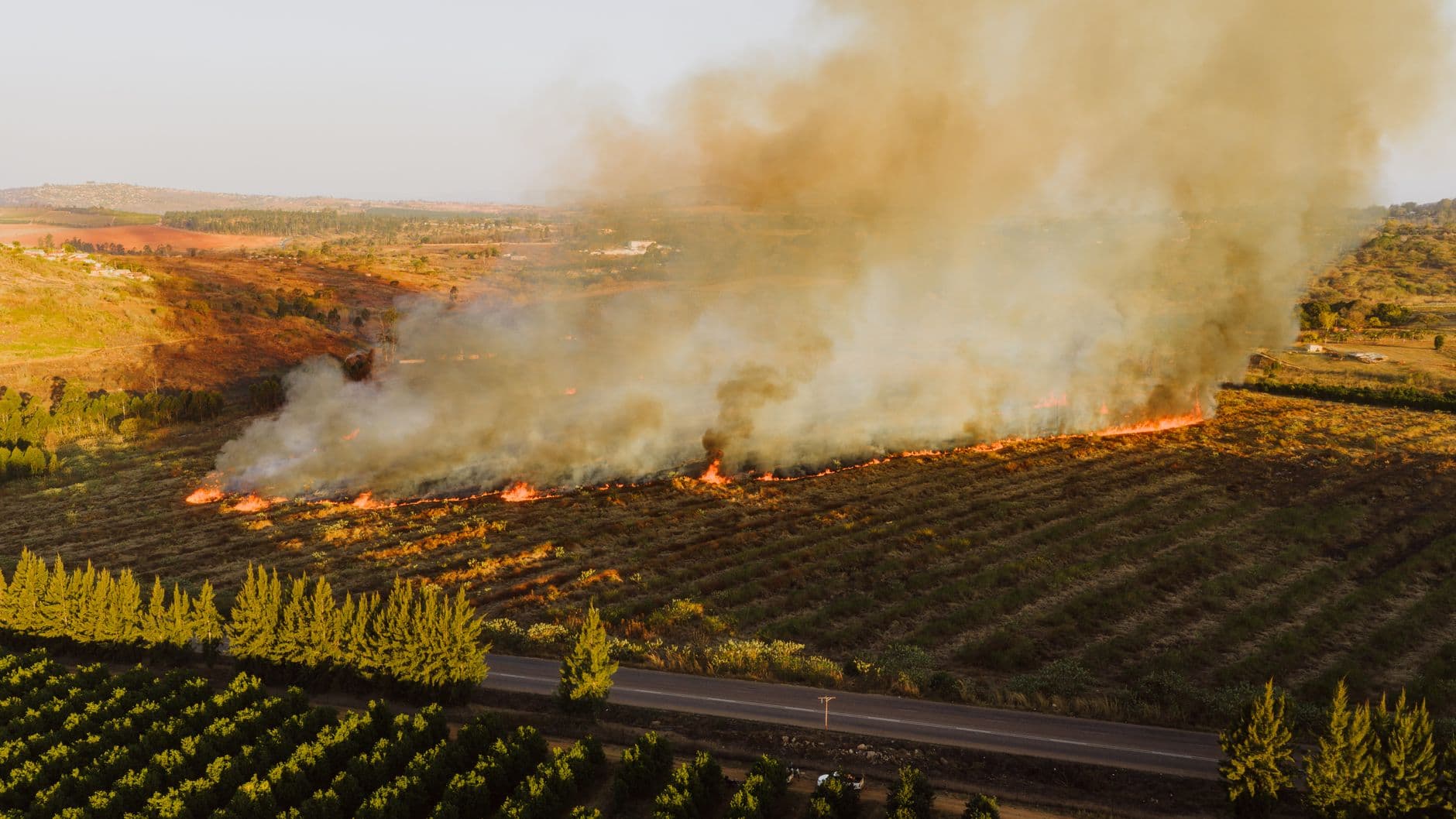
Preparedness in Australia now starts before ignition. The country’s most influential lessons pair Indigenous fire knowledge with modern monitoring and suppression tools, rather than treating land management as a separate cultural conversation. In practice, that means early-season burning, satellite surveillance, remote sensing and, where useful, drones and remotely piloted aircraft are being used as parts of one system.
Indigenous burning works because it changes the fuel, not just the response
In northern Australia, Indigenous fire management conducted early in the fire season can reduce greenhouse gas emissions by lowering the chance of more severe fires later in the season. That is an operational advantage as much as a climate one, because smaller, earlier burns can leave landscapes less primed for the hot, fast late-season fires that cause the largest losses.
After Black Summer, researchers and Indigenous leaders pushed harder for cultural burning to be treated as part of future land and risk management, not as a symbolic add-on. CSIRO’s 2016 report on protocols for Indigenous fire management partnerships focused on how agencies and Indigenous communities can build working arrangements that last, while a 2021 NESP Threatened Species Recovery Hub report concentrated on empowering Indigenous leadership and participation in bushfire recovery, cultural burning and land management.
Technology is extending the reach of fire knowledge
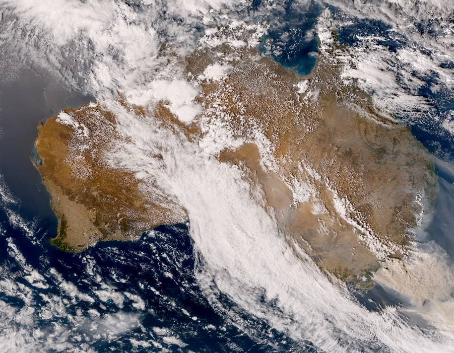
Australia’s fire response is also becoming more data-rich. A 2023 MDPI paper on autonomous satellite wildfire detection used hyperspectral imagery and neural networks in an Australian wildfire case study, showing how machine learning can help detect fire signatures earlier than manual patrols alone. Google Research also published work in 2023 on tracking wildfire boundaries in real time using satellite imagery, which matters when the edge of a fire can shift quickly across rough country.
Those tools do not replace local observation; they make it more precise. Satellites can map heat and movement, remote sensing can pick up changes across large areas, and drones can help crews monitor boundaries and support cultural and prescribed burns without waiting for ground access.
The Tathra example showed how cultural burning enters recovery
A cultural burning project took shape six months after the Tathra bushfire, showing how Indigenous-led fire work can be folded into recovery, not just prevention. That timing illustrated a practical sequence: burn planning, post-fire restoration and risk reduction can all sit in the same management cycle.
Cultural burning has to be understood as land stewardship with measurable outcomes. It is used to shape fuel loads, ecological condition and fire behavior, which is why it is increasingly discussed alongside prescribed burning rather than apart from it.
Why Europe has moved more slowly
Europe’s fire challenge is different in detail, but not in direction. Southern European landscapes are highly fire-prone because of the Mediterranean climate, flammable vegetation and rugged terrain, and the environmental and societal impacts of fire in the region increased markedly during the 20th century. Yet prescribed burning there has been slow, uneven and inconsistent, with barriers that include cultural resistance and insufficient research and outreach.
Portugal shows both the promise and the difficulty. Prescribed burning has been underway there for nearly five decades, beginning with forest service trials in the mid-1970s in the pine forests of the northwest. In 1982, José Moreira da Silva designed the first regional prescribed fire program in southern Europe, but the technique still struggled to move from experimentation to policy and then to practice.
That slower European uptake also reflects a different historical landscape. In southern Europe, pre-industrial fire regimes were often tied to widespread agropastoral land use and low-severity burning in heterogeneous shrublands and open woodland landscapes, while modern land use and governance have made routine fuel management harder to sustain. The transfer from Australia is therefore not a simple import of one burning method. It depends on local leadership, seasonal timing, clear protocols, and near-real-time fire intelligence.
This article was produced by Prism’s automated news system from verified source data, official records, and press releases, then run through automated quality and moderation checks before publishing. The system is built and supervised by the people who set the standards it runs under. Read our full AI policy.
Did this article answer your question?