Google satellite AI tool raises surveillance and privacy fears
Google's satellite-image AI can speed disaster mapping and farm analysis, but researchers fear it also makes mass surveillance and misuse easier.
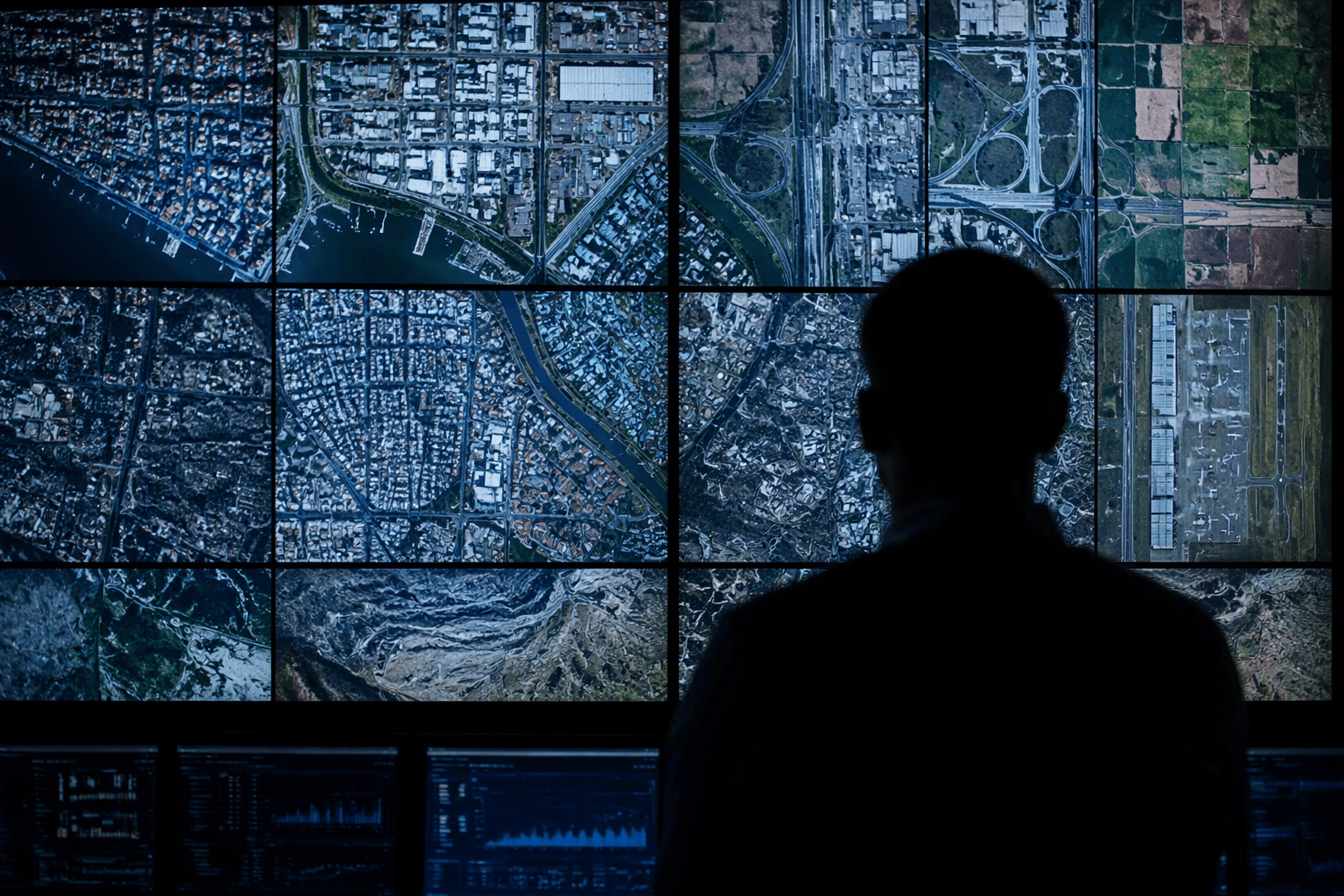
Google’s satellite-image AI push has alarmed researchers who say the same tools that can scan large volumes of imagery for legitimate work could also make it easier to watch people, facilities and movement at scale. The concern is rooted in how geospatial AI turns public and semi-public satellite data into something far more searchable, lowering the technical barrier for surveillance, privacy invasion and other dual-use applications.
Google began laying out the system in stages. On April 8, 2025, Google Research announced Geospatial Reasoning, a generative AI effort built to analyze geospatial data and answer complex questions about hurricanes, public health and other real-world events. On July 30, 2025, Google said it was launching Google Earth AI as a family of geospatial AI models and reasoning agents. By Oct. 23, 2025, Google said it was expanding access to Earth AI and adding Gemini capabilities, while describing geospatial reasoning as a way to connect weather forecasts, population maps and satellite imagery into actionable insights grounded in real-world understanding.
Those uses are part of why the technology has drawn interest from scientists, disaster planners and environmental researchers. Satellite-image AI can help map flood damage, track wildfire spread, monitor deforestation, flag infrastructure problems and support agricultural analysis. But the same capacity to summarize vast image archives can also help a hostile actor locate sensitive sites, identify patterns of life or piece together activities that once required expert analysts and far more time.
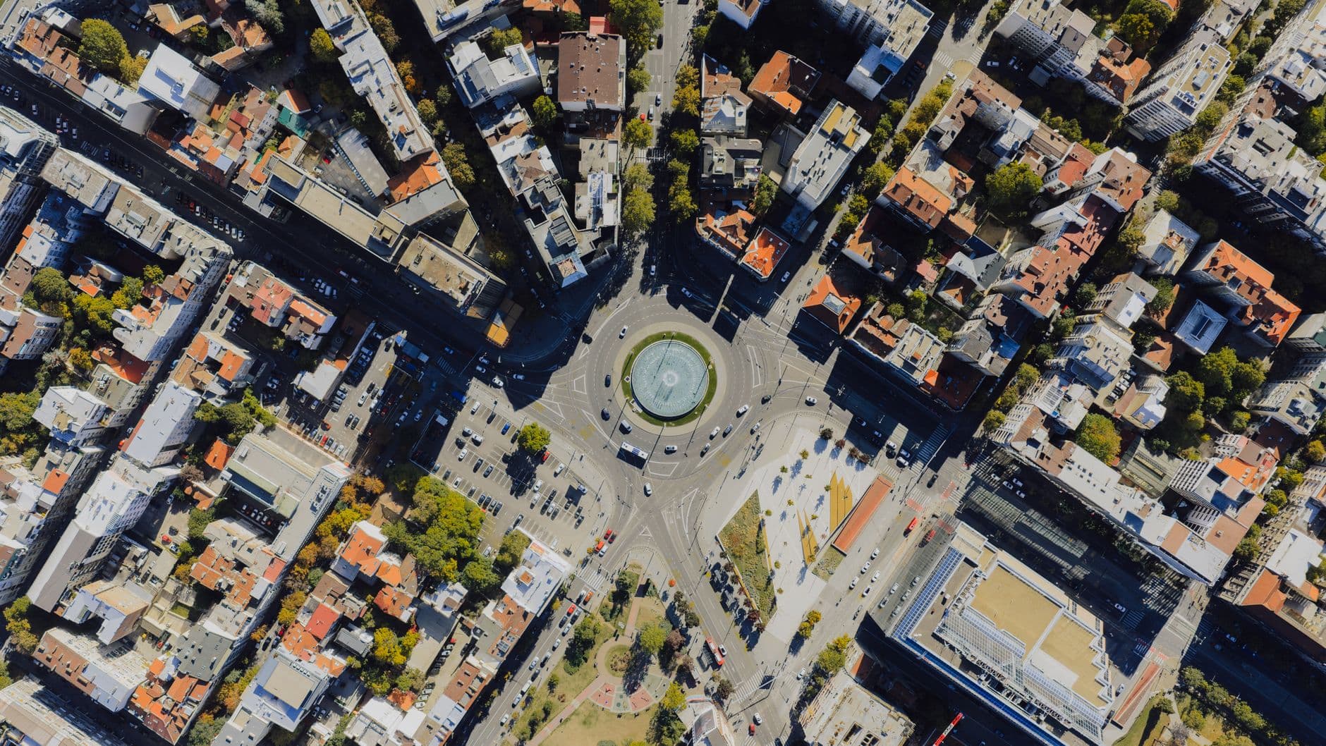
The backlash widened in 2026 when Google Earth AI’s image-generation feature drew criticism over misinformation. NPR described the concern as fears of “deepfakes in the sky,” and BBC reporting said a fake AI-generated satellite image of the Eiffel Tower in Paris was made with Google’s tool. Google later rolled back the feature after the criticism intensified.
That sequence has sharpened a familiar question around artificial intelligence: how to preserve the public benefits of faster analysis without handing the same capability to governments, private surveillance firms or other users whose aims may be less benign. Geospatial AI is moving quickly into a domain where consent is limited, oversight is uneven and the data itself already exposes a great deal about people and places. As Google widens access to Earth AI, researchers are warning that the rules governing its use have not yet caught up with its reach.
This article was produced by Prism’s automated news system from verified source data, official records, and press releases, then run through automated quality and moderation checks before publishing. The system is built and supervised by the people who set the standards it runs under. Read our full AI policy.
Did this article answer your question?