Helicopter rescue saves three teens stranded on British Columbia trail
Three teens who trusted a five-hour map estimate needed a helicopter off British Columbia’s Howe Sound Crest Trail. One had an ankle injury on the 17.1-mile route.
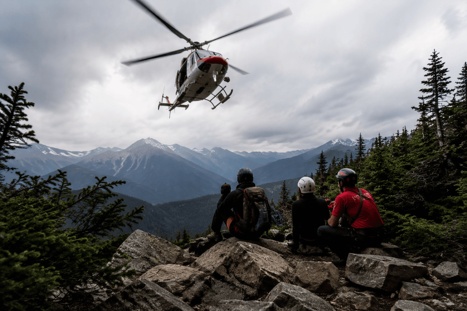
A helicopter crew hauled three teenage boys off the Howe Sound Crest Trail after the group underestimated a rugged alpine route north of Vancouver and turned to Google Maps for timing. The boys figured the hike would take just over five hours, even though the 17.1-mile trail is commonly expected to take 12 to 14 hours. The teens were exhausted and underprepared when help reached them, and the rescue ended after dark.
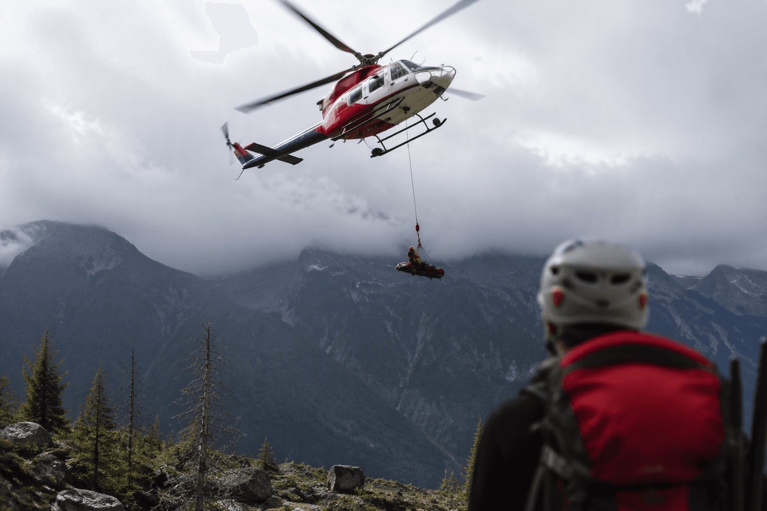
One hiker had a non-weight-bearing ankle injury. North Shore Rescue, the volunteer search-and-rescue team based in North Vancouver, deployed a hoist operation with Talon Helicopters and sent a ground team in via Cypress Mountain to reach the stranded hikers on steep terrain.
Rescue crews on the North Shore have seen hikers use mapping apps as though they were road maps and then run into terrain that does not match the time estimate on a screen. In November 2023, a non-existent trail was removed from Google Maps after another rescue in the North Shore mountains, and later that year a Canadian search-and-rescue group carried out two missions after hikers tried to follow a nonexistent trail on Google Maps.
On May 6, 2025, a 17-year-old hiker died after a fall in the Lions Bay area near Yahoo Creek on Hat Mountain.
This article was produced by Prism’s automated news system from verified source data, official records, and press releases, then run through automated quality and moderation checks before publishing. The system is built and supervised by the people who set the standards it runs under. Read our full AI policy.
Did this article answer your question?