High wind and heavy snow warnings hit Colorado mountains; travel hazardous
Dakota Hill AWOS recorded gusts up to 83 mph as a storm expected to drop 5–14 inches of snow makes mountain travel hazardous.
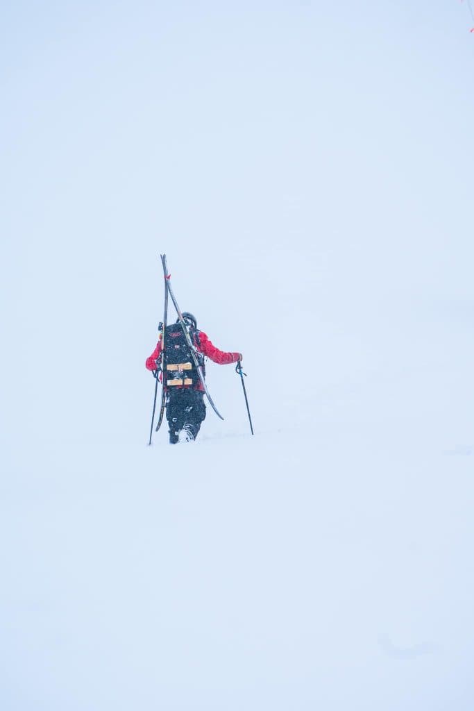
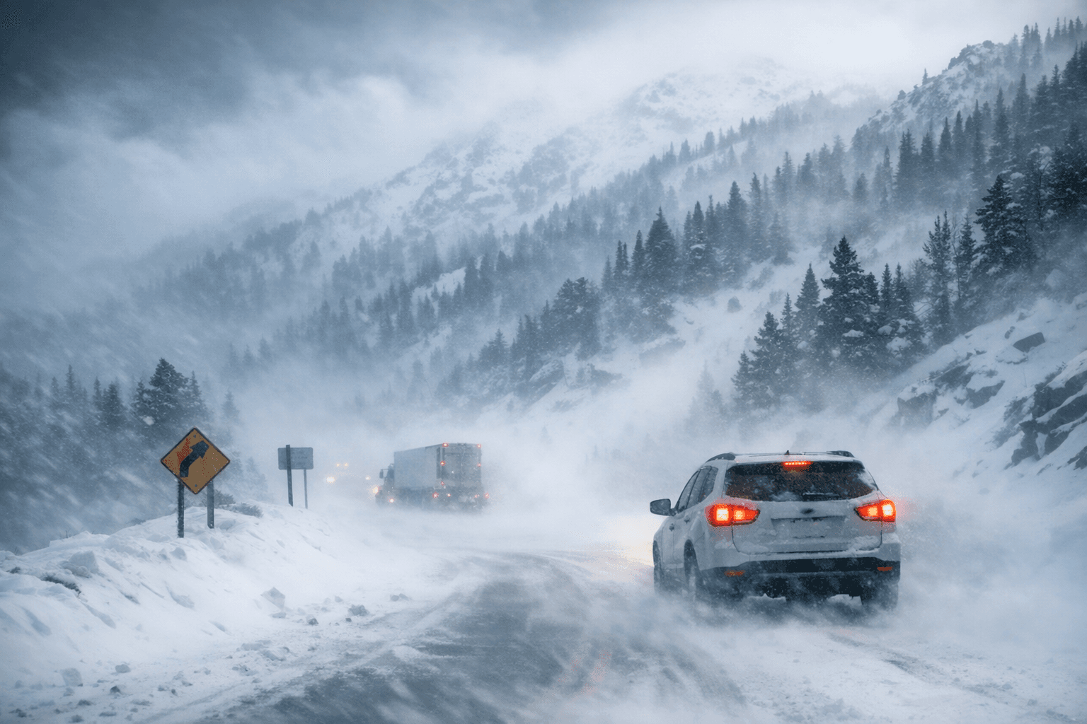
Winds already gusting into the 70s and 80s and fresh snow warnings have turned Colorado’s high country dangerous for travel, with Summit County and nearby ranges under multiple advisories and warnings. The SummitDaily advisory warned that “snow covered roads will make travel hazardous,” and its reporting noted the high wind warning could blow unsecured objects around and cause power outages through 6 p.m. Tuesday.
The National Weather Service AFD issued at 7:38 AM MST Tue Feb 24 2026 framed the technical threat in blunt terms: “Well above-normal temperatures continue for the week.” “Strong winds expected along the east slopes of the Front Range Mountains and foothills through this evening, with a few gusts of 80-90 mph possible.” “Brief, but heavy round of mountain snow looking increasingly likely across the northern mountains this evening through Wednesday.” “Elevated to critical fire weather conditions possible across the plains through the rest of the week.”
Multiple products apply to different parts of the mountains. A winter storm warning covers parts of Jackson, Larimer, Grand and Boulder counties from 8 p.m. Tuesday to late Wednesday near midnight, while a winter weather advisory was issued for parts of Grand, Boulder, Gilpin, Clear Creek, Summit and Park counties from late Tuesday night to late Wednesday night. SummitDaily explicitly placed the mountains of Summit County, the Mosquito Range and Indian Peaks under an advisory from 8 p.m. Tuesday to 11:59 p.m. Wednesday. Front Range mountains and foothills faced a High Wind Warning in the daytime hours, with local reporting and the Daily Camera placing that product from 8 a.m. to 6 p.m. Tuesday.
Observed station reports show the wind already cranking. A Forecast Weather update at 4:35 AM MST Tue Feb 24 2026 noted a “recent gust of 70KT at the Dakota Hill AWOS” and later described Dakota Hill as “gusting up to 83 mph currently.” The 7:31 AM MST update recorded KBJC gusting to 43 mph with a relative humidity of 8 percent, KLMO gusting to 43 mph with RH 9 percent, and KFNL gusting to 36 mph with RH 13 percent. Those low humidities and strong gusts prompted a Red Flag Warning to be moved up for parts of the urban corridor and northeast plains.
Model guidance and local forecasts remain consistent on the magnitude of the threat. Forecast Weather cited the HRRR, RRFS and WRF-ARW consensus that “a few gusts of 80-90 mph look likely.” Denver Post reporting noted snow will start in the mountains as early as 11 a.m. Tuesday and continue through Thursday morning, with the strongest chance for accumulating snow between 5 p.m. Tuesday and 4 p.m. Wednesday. SummitDaily forecast storm totals of 5–10 inches, with some areas near Rocky Mountain National Park possibly receiving up to 14 inches.
Fire and avalanche concerns add to the travel picture. The Red Flag Warning warned that “Conditions will be favorable for rapid fire spread,” and urged: “Avoid outdoor burning and any activity that may produce a spark and start a wildfire.” Denver Post cited a CAIC map showing “considerable avalanche danger across Colorado's mountains through Feb. 22, 2026,” and noted an avalanche triggered above the treeline near Avery Peak in the Gunnison area on Feb. 21, 2026. NWS Boulder warned on social media: “Snow will return to the mountains Tuesday afternoon through Thursday morning. Strong winds on Tuesday and Wednesday will cause blowing snow and create low visibility at times. Be cautious while driving! #COwx”
Given the combination of observed gusts, model consensus and overlapping advisories, mountain travel will be hazardous through Wednesday night where warnings and advisories remain in effect; the Denver area, however, has “No snow forecast” in the current reporting.
Know something we missed? Have a correction or additional information?
Submit a Tip