High Wind Watch puts Logan County on alert for dangerous gusts
High Wind Watch covers Logan County as strong northwest winds and low humidity raise fire and travel risks; residents should secure belongings and follow local guidance.

The National Weather Service Denver/Boulder office posted a High Wind Watch for the Northeast Plains, putting Logan County and towns including Crook, Merino and Sterling on alert for strong northwest winds and much colder conditions. The watch covers late Thursday evening into Friday afternoon as sustained northwesterly winds of 20–30 mph with gusts locally up to 45–60+ mph are expected across the plains.
The watch product included the formal wording: "HIGH WIND WATCH IN EFFECT FROM THURSDAY EVENING THROUGH FRIDAY AFTERNOON." NWS forecasters warned that the combination of strong winds and low humidity will increase fire-weather concerns across parts of the region, and advised residents to secure loose objects and prepare for difficult travel for high-profile vehicles.
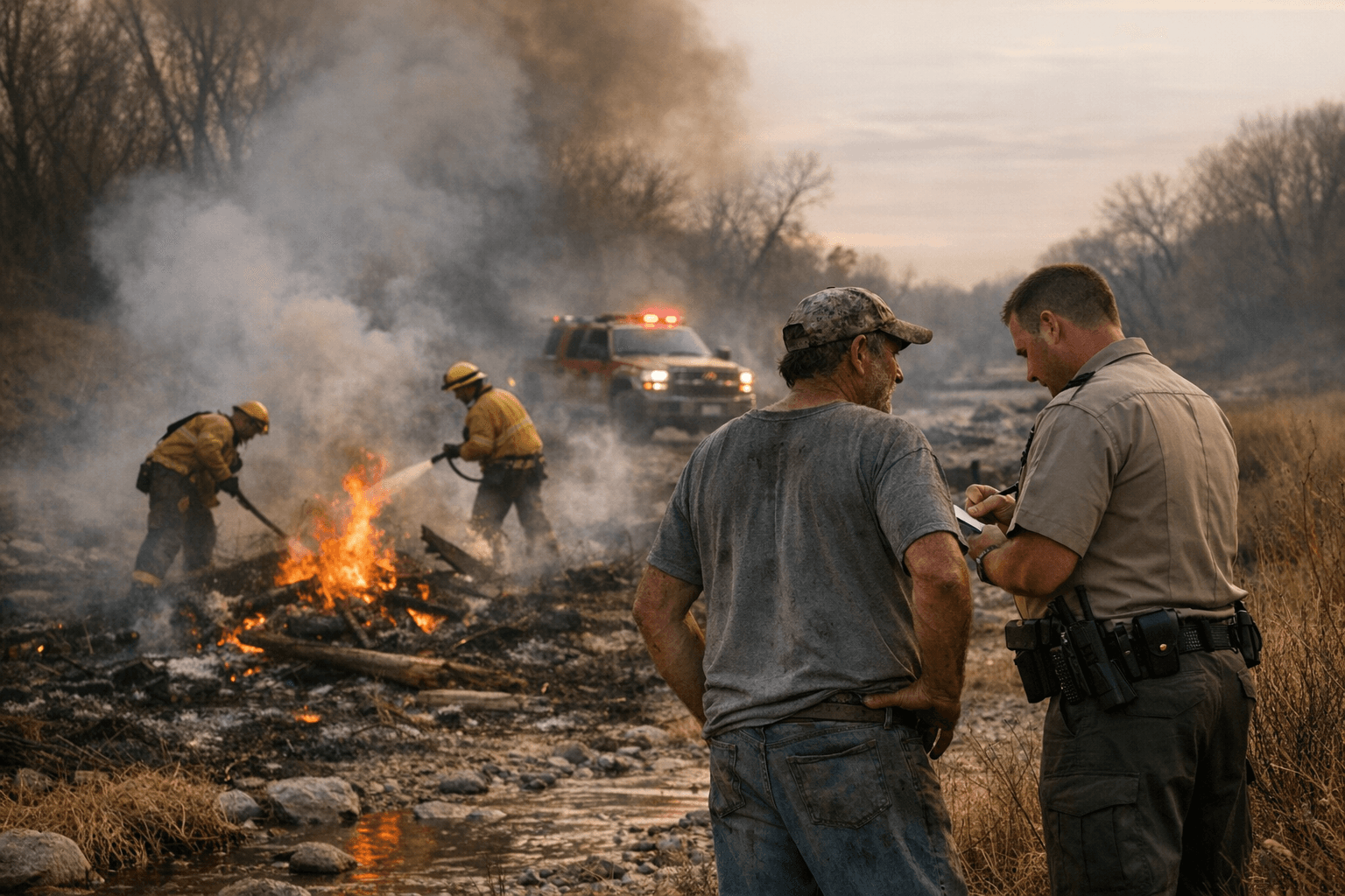
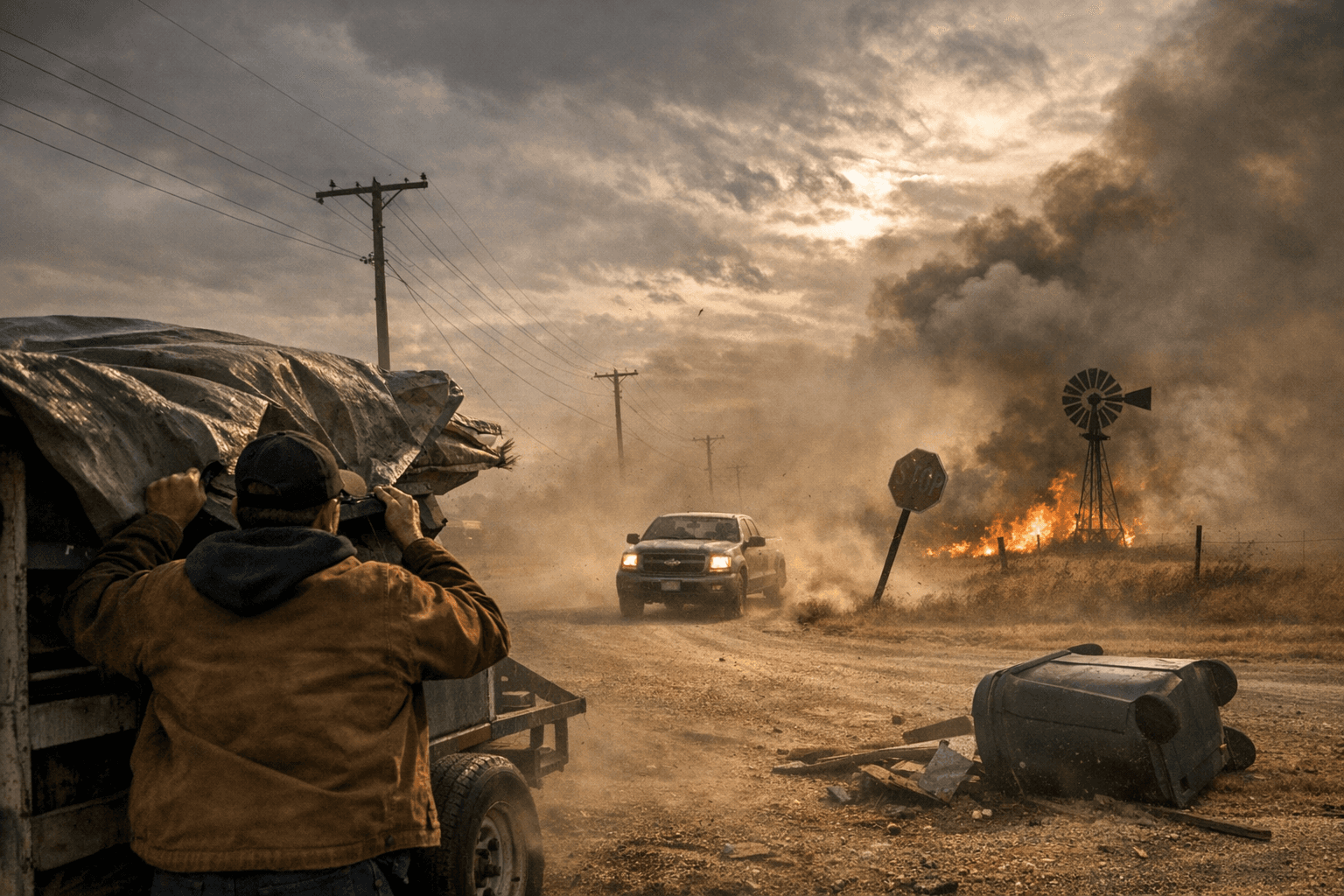
For Logan County, the meteorological threat carries practical consequences. High gusts on open plains heighten the risk of downed power lines and damaged outbuildings, while low humidity and rapid drying increase the likelihood that any new ignition could spread quickly. Rural roads and county highways, already exposed to crosswinds, will become challenging for farm rigs, livestock haulers and semi-trailers; county public works and road crews will face heavier workloads responding to debris and outages if gusts materialize as forecast.
Institutionally, the watch tests emergency coordination between the National Weather Service, county emergency management, rural fire districts and utility providers. A High Wind Watch signals time for pre-event messaging and targeted readiness: ensuring crews are staged where feasible, informing agricultural producers about securing equipment and feed, and keeping vulnerable residents informed about shelter options or assistance if power is lost. The watch also underscores the need for clear communications from elected officials and emergency managers so residents know where to turn for updates and help.
The civic implications extend beyond immediate safety. Strong wind events suppress turnout at public meetings and complicate access to county services when travel is hazardous. That reality places a premium on digital outreach and timely alerts from county channels to sustain civic participation while protecting public safety.
Logan County residents should monitor local emergency-management channels and the NWS for updates, secure outdoor furniture, trailers and other loose items, and avoid travel in open stretches of the plains if possible. The watch remains in effect through Friday afternoon; recovery priorities will focus on power restoration, road clearance and supporting agricultural operations if damage occurs. Staying informed and prepared will limit disruption and help the county move more quickly from response to recovery.
Sources:
Know something we missed? Have a correction or additional information?
Submit a Tip