Magnitude-3.3 Earthquake Rattles Riverside County Near Banning, No Damage Reported
A shallow 3.3-magnitude quake struck 4 miles north of Banning Saturday afternoon, rattling windows across Riverside County with no injuries or damage reported.
Riverside County felt a sharp, brief jolt Saturday afternoon when a magnitude-3.3 earthquake struck four miles north of Banning, its shallow depth of 5.8 miles amplifying the ground motion for communities closest to the epicenter. The U.S. Geological Survey recorded the event at 4:37 p.m. Pacific. No structural damage or injuries were reported.
Residents near the epicenter described the characteristic sensation of rattling windows and dishes, the hallmark of a shallow quake that delivers its energy close to the surface rather than dissipating it through miles of deeper rock. At 5.8 miles, the source was shallow enough to be felt distinctly, though not with enough force to threaten well-constructed buildings.
The afternoon quake was not the only seismic activity logged in the region that day. Earlier Saturday, the USGS recorded two smaller earthquakes in neighboring San Bernardino County, a magnitude-2.7 and a magnitude-2.8, both near Redlands. The back-to-back sequence underscores a broader pattern of low-to-moderate seismicity that has characterized inland Southern California in recent weeks.
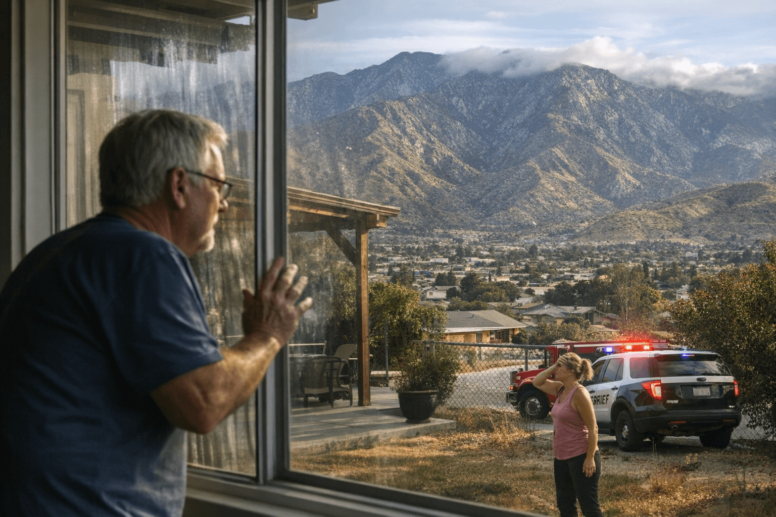
Local sheriffs and emergency managers followed standard protocol for shallow events near populated areas, monitoring for aftershocks and potential rockslides on roads flanking the epicenter zone. The event did not trigger a tsunami warning and did not escalate into a multi-county emergency response.
Earthquakes in the 2.5-to-4.0 magnitude range are routine in Southern California, typically produced by movement along local faults or strain release in the upper crust. USGS scientists operate rapid reporting and aftershock-forecast systems, and while clusters of small quakes sometimes precede larger events, their presence does not reliably predict what follows. The USGS real-time data platform will continue updating if additional seismicity develops in the sequence.
Transportation officials routinely check nearby highways and rail corridors after shallow events for debris or rockfall, where surface displacement can quickly destabilize hillside cuts along mountain routes.
Emergency management agencies took the opportunity to reiterate core preparedness steps: securing heavy furniture, maintaining emergency kits, and reviewing family communication plans. Southern California remains one of the most seismically active regions in the continental United States, and Saturday's 3.3 near Banning, unremarkable by regional standards, offered local agencies a low-stakes moment to confirm their alerting systems remain ready for whatever comes next.
This article was produced by Prism’s automated news system from verified source data, official records, and press releases, then run through automated quality and moderation checks before publishing. The system is built and supervised by the people who set the standards it runs under. Read our full AI policy.
Did this article answer your question?


