Potential Tropical Cyclone One threatens Texas with record rainfall and flooding
A slow-moving Gulf system was set to dump up to 12 inches on Texas, Louisiana and beyond, testing flood defenses before it even strengthened.

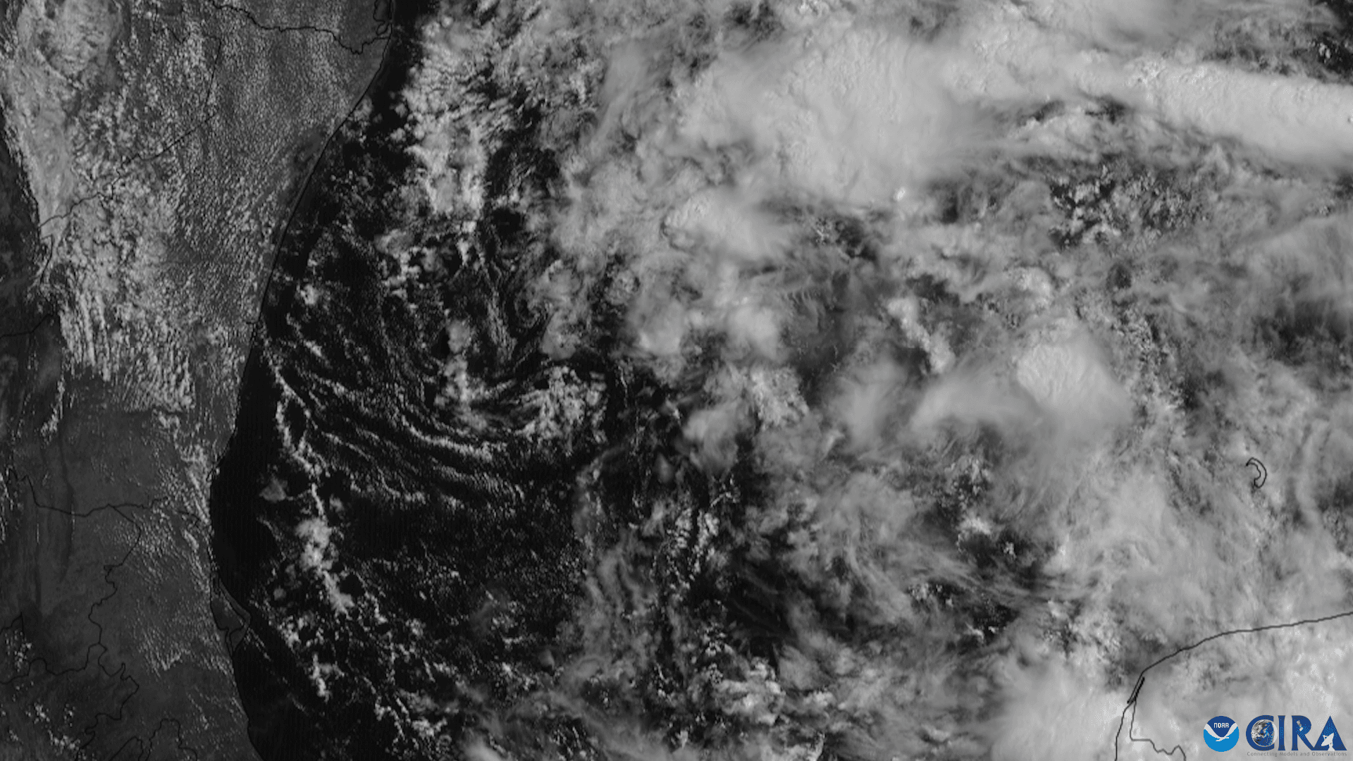
Texas and the broader Gulf Coast braced for a punishing stretch of rain as Potential Tropical Cyclone One hovered about 65 miles southwest of Corpus Christi with maximum sustained winds near 30 mph. The National Hurricane Center said the disturbance could become Arthur, the first named storm of the 2026 Atlantic hurricane season, but the immediate threat was already clear: roads, drainage systems and evacuation plans were about to be tested by water, not wind.
Forecasters called for 4 to 8 inches of rain across much of the Texas coast into Louisiana, with isolated totals near 12 inches. The Weather Prediction Center warned that potentially life-threatening flash and urban flooding was possible through Thursday from the middle and upper Texas coast into southern and central Louisiana, Mississippi and Alabama, as well as western Georgia and the Florida Panhandle. More than 40 million people across the Gulf Coast were in the storm’s path, a broad exposure zone that stretched well beyond the Texas shoreline.
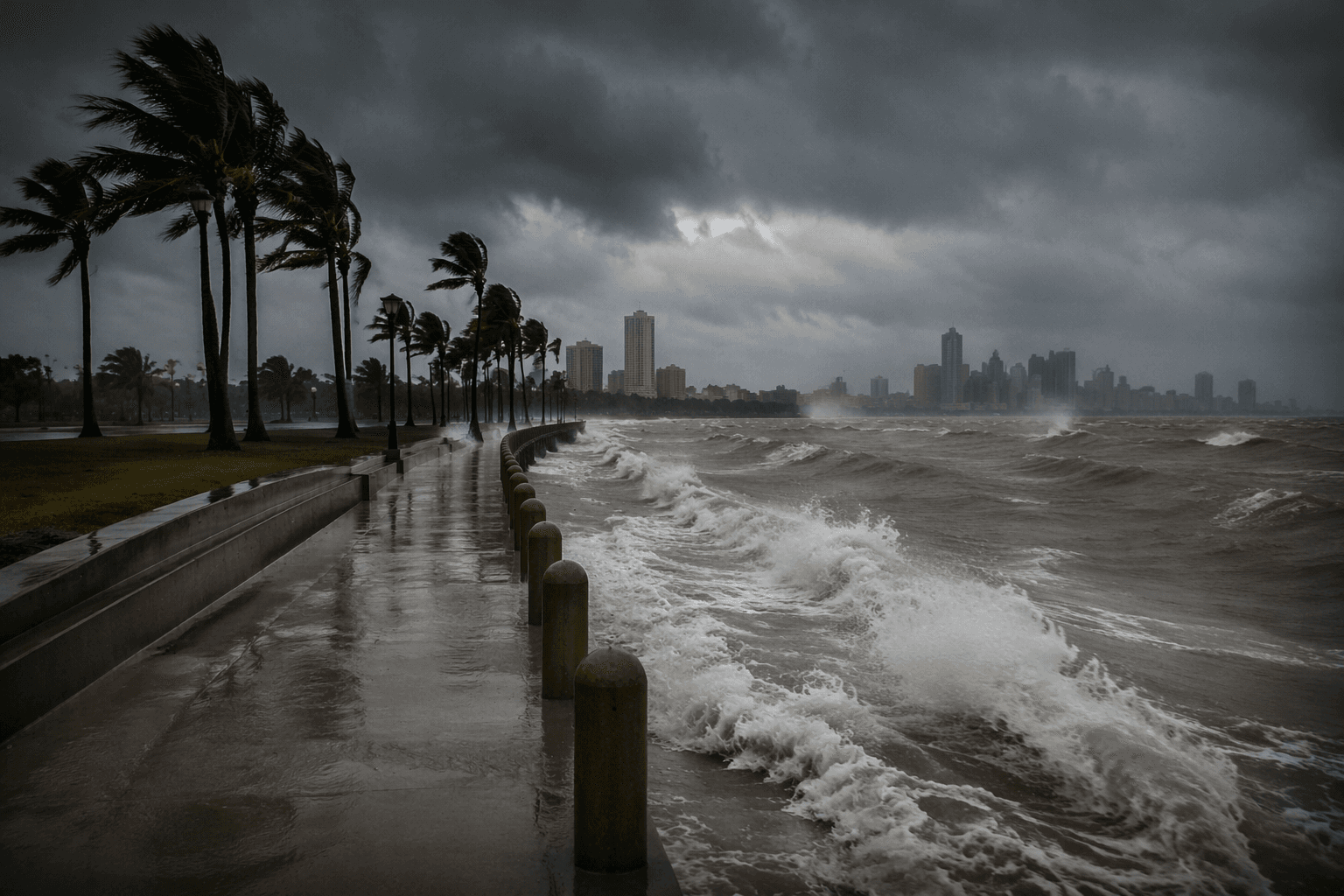
The system was expected to move offshore overnight, track roughly parallel to the upper Texas coast on Wednesday, and then move back inland in extreme eastern Texas or southwestern Louisiana late Wednesday or early Thursday. That track put vulnerable coastal counties and low-lying urban corridors at risk, especially around Brazoria County, Galveston County and Chambers County, where a tropical storm watch was in effect. Tropical storm warnings covered the stretch from Sabine Pass, Texas, to Morgan City, Louisiana, signaling that coastal communities were already in the window for damaging conditions.
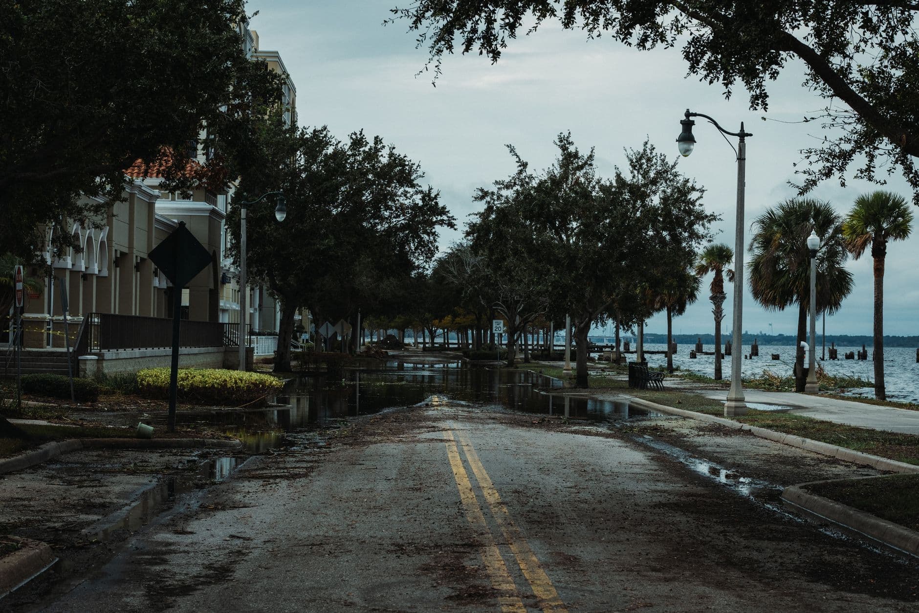
Gov. Greg Abbott issued a disaster declaration for 101 counties on Monday, a sign that state officials were moving ahead of the rainfall rather than reacting after roads were underwater. The urgency was not theoretical. Forecasters said 2 to 5 inches of rain on Monday had already triggered flash flooding in parts of Texas, Louisiana and southern Mississippi, with stranded vehicles and water rescues reported around Austin, San Antonio and Burleson County. That early flooding underscored how quickly drainage systems could be overwhelmed even before the storm reached its closest pass.
The storm also carried economic and event risk. Shell said there was no impact on offshore production platforms, while BP said it was monitoring the system’s progress. In Houston, where the heavy rain could complicate travel and crowd safety, the weather threatened to interfere with the FIFA World Cup match between Portugal and DR Congo scheduled for Wednesday. For Texas and its neighbors, the immediate question was no longer whether the system would organize, but how much water their infrastructure could absorb before it failed.
This article was produced by Prism’s automated news system from verified source data, official records, and press releases, then run through automated quality and moderation checks before publishing. The system is built and supervised by the people who set the standards it runs under. Read our full AI policy.
Know something we missed? Have a correction or additional information?
Submit a Tip