Red Flag Warnings, High Winds and Severe Storms Threaten Texas, Oklahoma Panhandles
Red Flag Warnings and High Wind Warnings span the Texas and Oklahoma Panhandles as gusts up to 70 mph and nearly 300,000 acres burned in Oklahoma compound travel and fire risks—avoid open burning.
Residents across the Texas Panhandle’s 26 counties and the Oklahoma Panhandle should avoid open flames and cover any burn barrels with a weighted metal lid with holes no larger than three-quarters of an inch, NWS guidance says, as Red Flag Warnings and High Wind Warnings have been issued for multiple days this week and severe storms are possible in parts of the region tonight. ABC7 Amarillo reported Red Flag Warnings Tuesday from about 10 a.m. to 8 p.m. CST and High Wind Warnings from roughly 9 a.m. to 7 p.m.; NWS Amarillo has kept a Red Flag Warning in effect for all 26 Texas Panhandle counties through 7 p.m. on a later advisory.
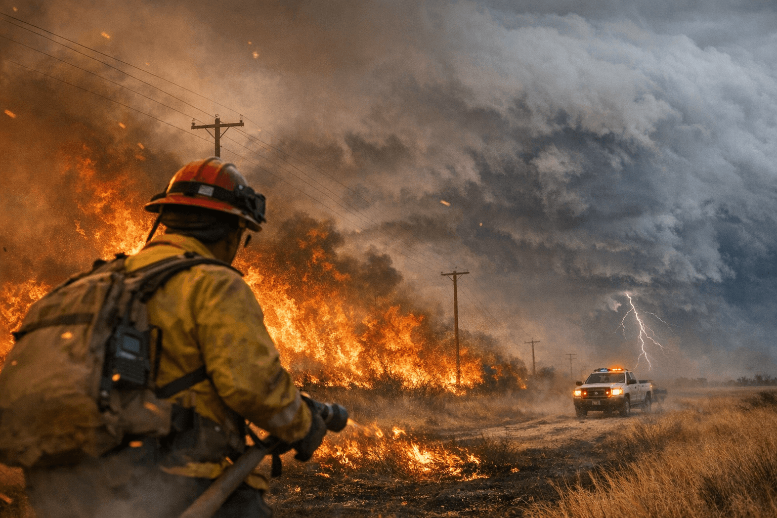
Forecasters have warned the warnings come amid active fires. USA Today reported that several wildfires continued burning as of Feb. 19, with blazes in Oklahoma’s Panhandle scorching nearly 300,000 acres and Texas Panhandle fires burning just under 20,000 acres, and that forecasters cautioned conditions could worsen again with a return of high winds.
Wind forecasts differ by day and location but are extreme in places. ABC7 said sustained winds of 25 to 40 mph are expected with gusts of 55 to 70 mph possible across western portions of the Panhandles, with the strongest winds building after mid-morning and peaking from late morning into late afternoon; relative humidity is forecast to drop into the low teens. NWS Norman’s outlook cited by USA Today assessed nearly all of Oklahoma under a Red Flag Thursday with sustained winds of 20 to 25 mph and gusts peaking around 40 mph.
Public-safety agencies flagged direct travel hazards tied to the winds and fires. ABC7 warned blowing dust could lower visibility and make road and air travel difficult, potentially causing delays, and the Oklahoma Highway Patrol urged drivers should not drive into smoke during wildfire events. Local wind advisories explicitly include far southeastern Panhandle counties Cottle, Childress, Collingsworth, Hall, Donley and Wheeler, where gusty conditions could accentuate dust and smoke hazards on state and county roadways.
The forecast also carries a separate severe-storm threat. An earlier report noted the National Weather Service flagged possible severe storms tonight across the eastern Texas Panhandle and western Oklahoma, with risks of large hail, damaging winds and tornadoes; local offices had not issued a consolidated single-day bulletin across all sources, so watch conditions may vary by county and hour.
Agencies stressed reducing ignition risk while winds are elevated. USA Today summarized NWS guidance that during Red Flag Warnings people should be “extremely careful” with open flames, and that if burning is allowed burn barrels should be secured with a weighted metal cover with holes no larger than three-quarters of an inch. Social media advisories also reflected the urgency: a local Facebook post read, “Critical fire weather conditions are in place for today over the region. Dry conditions, ample fuel load, and winds gusting as high as 40mph.”
NWS Amarillo framed the day as volatile for wind direction and speed, saying, “Another critical Fire Weather day for most of the Panhandles,” and warning, “Today will have some complexities with the winds as they will start off west to northwest for the most part, but will start to shift out of multiple directions as a cold front moves through.” With gusty winds, low humidity and large areas already burned, the combination will keep fire danger and travel disruption elevated across the Panhandles through the active warning periods.
Know something we missed? Have a correction or additional information?
Submit a Tip