Tornado threat spreads east as severe storm outbreak intensifies
A moving tornado threat stretched from Texas to Maine as warnings shifted east, with more than 25 possible twisters reported Sunday in four states.

The immediate issue for communities under the storm corridor was not the radar animation, but the warning type attached to it: damaging winds and large hail were the primary threats in the Storm Prediction Center’s Tuesday outlook, while severe thunderstorms were expected to extend from the Great Lakes into the southern Plains. Because NOAA storm reports were still being updated frequently, every new warning carried real consequences for school plans, travel decisions and power-preparedness checks across a fast-moving outbreak.
The outbreak had already left a broad footprint by the time it began shifting east. Preliminary reports from the Storm Prediction Center indicated more than 25 possible tornadoes across Kansas, Nebraska, Minnesota and Iowa on Sunday, May 18. Some of the worst damage was reported in Hall County and Howard County, Nebraska, where homes were ripped apart in the path of the storms. In Hebron, Nebraska, the National Weather Service issued a rare tornado emergency around 7 p.m. local time, underscoring how quickly the threat escalated in parts of the Plains.

Weather.com said damaging tornadoes had already struck over the weekend and Monday, and its live coverage showed the highest threat zone on Monday stretching from parts of Nebraska and Kansas into Iowa, Missouri and Illinois. CNN’s weather coverage described the central U.S. outbreak as peaking Monday before pushing east into Tuesday, a shift that gradually eased the intensity in the core of the system even as new states remained in play. FOX Weather described the event as an explosive outbreak across the Plains and Midwest, with tornadoes, giant hail and destructive winds threatening millions of Americans.

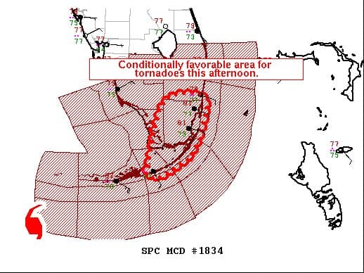
That eastward progression turned the storm into a national stress test for emergency alerts and local response systems. The Tuesday outlook carried a Slight Risk from the Great Lakes into the southern Plains, a broad swath that forced forecasters and emergency managers to watch a moving front rather than a fixed hot spot. Storm Prediction Center reports were marked as preliminary and updated every 10 minutes for current-day events and every three hours for previous-day reports, a reminder that the map itself was changing almost as fast as the storms. For families, districts and utilities from Texas to Maine, the safest decisions depended on treating each warning as a short-fuse alert, not a routine weather update.
This article was produced by Prism’s automated news system from verified source data, official records, and press releases, then run through automated quality and moderation checks before publishing. The system is built and supervised by the people who set the standards it runs under. Read our full AI policy.
Did this article answer your question?