BLM guide explains Moab camping rules, recreation limits, and public land use
Moab looks open, but the wrong campsite, skipped permit, or reckless line can wreck a weekend fast. The BLM’s guide shows where the real boundaries are.
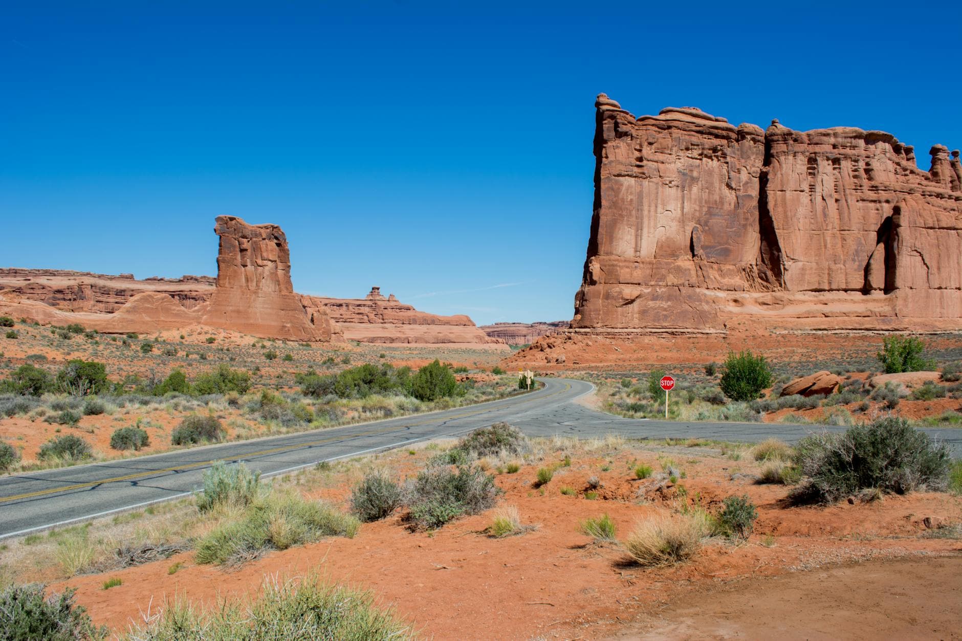
The fastest way to derail a Moab trip is to treat public land like empty land. In a place that draws more than 3 million visitors a year, the Bureau of Land Management has to be precise about where people camp, what needs a permit, and which adventures stay inside designated lanes. The Moab Field Office manages about 1.8 million acres in Grand County and San Juan County, while the broader Canyon Country District covers about 3.6 million surface acres, so every weekend rush lands on a landscape the agency is trying to keep both open and intact.
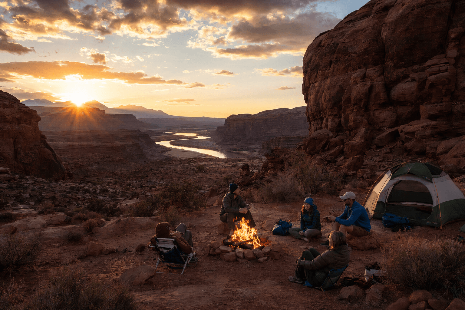
Camping is where a lot of visitors get tripped up first. Near town, the rule is simple enough to remember even if the terrain is not: use campgrounds or designated sites, not random pullouts that look convenient on a map. The BLM camping map identifies campgrounds and designated dispersed camping areas, and minimum-impact camping rules apply where dispersed camping is allowed. Some designated sites are free, which makes them a smart option for anyone who wants to stay legal without burning through a lot of the trip budget.
Moab’s camping system is bigger than many first-timers expect. The BLM’s recreation gateway points to 10 campgrounds, while other Moab-area listings count 26 BLM campgrounds, a sign of just how much management it takes to keep the region usable during peak demand. That network exists for a reason: in and around Moab, camping is not a free-for-all, and some areas are closed to protect natural and cultural resources or to reduce conflicts among users.
That same balancing act shapes the rest of the recreation menu. The Moab Field Office visitor guide says these lands support far more than sightseeing and weekend fun. They also carry oil and gas production, livestock grazing, mining, and habitat projects, which means every trail, wash, and overlook sits inside a working public-land system, not a blank slate. When you understand that, the rules start to make more sense: the goal is to keep recreation moving without shutting out the other uses that depend on the same ground.
Permits matter just as much as campsite boundaries. The BLM says commercial, competitive, and organized group bike events require permits from the Moab Field Office, and that office is the one to contact for dates and requirements. It administers nearly 500 special recreation permits each year, using that system to manage commercial recreation and organized outings, support economic opportunities in nearby communities, and limit user conflicts before they spill into the field. If your trip includes a guided ride, a group event, or any organized cycling plan, the paperwork is part of the route.
The permit process has also been changing. In 2023, the BLM said it was streamlining its special recreation permit application and review process, and reporting at the time noted that a permit decision could take up to six months. That is the kind of detail that matters when a weekend idea becomes a real itinerary, because a last-minute commercial or organized outing may not fit into the calendar you had in mind.
The high-adrenaline side of Moab comes with its own hard edges. The BLM identifies two focus areas specifically for competitive base jumping, Tombstone and Mineral Canyon, and says wingsuit flying from Notch Peak to Gemini Bridges is part of the region’s draw. Those places are not just names on a thrill-seeker’s map; they are examples of how the agency concentrates certain risks into designated zones instead of letting them spread across the landscape.
The warning attached to those activities is blunt: users take part at their own risk and may be held responsible for search-and-rescue costs. That detail should slow down anyone tempted to treat Moab like a place where experience alone substitutes for planning. In a region built around big exposure, steep lines, and long distances, knowing where the agency has specifically pointed high-risk users is part of staying safe and staying out of trouble.
- Pick a campground or a designated dispersed site before you leave home.
- Check whether your chosen area is zoned for dispersed camping or restricted for resource protection.
- If your trip includes a commercial ride, a competitive event, or an organized group bike outing, secure the proper permit from the Moab Field Office.
- Treat base jumping and wingsuit terrain as designated high-risk use areas, not general-use recreation zones.
- Build in time for changing conditions, because the region’s busiest places are also the most managed.
For a weekend itinerary, the practical checklist is straightforward.
The deeper lesson in the BLM guide is that Moab’s popularity is exactly why the rules feel so specific. The field office says the area is a mecca for recreation and supports hundreds of recreation-related jobs in local communities, so the agency is trying to keep visitors moving without letting access outrun stewardship. That is also why the advice to check official guidance before arrival is not bureaucratic throat-clearing, but a real trip saver.
Moab still offers the classic Four Corners mix of sandstone, river corridors, desert air, and the kind of adventure that can make a weekend feel much bigger than its calendar square. The catch is that the map now comes with instructions, and the visitors who read them first are the ones most likely to spend their time on the trail instead of sorting out a bad campsite, a missing permit, or an avoidable rescue bill.
This article was produced by Prism’s automated news system from verified source data, official records, and press releases, then run through automated quality and moderation checks before publishing. The system is built and supervised by the people who set the standards it runs under. Read our full AI policy.
Did this article answer your question?

