Capitol Reef alerts page helps travelers check roads and flood risks
Capitol Reef can look simple from the highway and still flip on a dime. The alerts page is the first stop for road status, flood risk, and whether you should reroute before you burn a day.
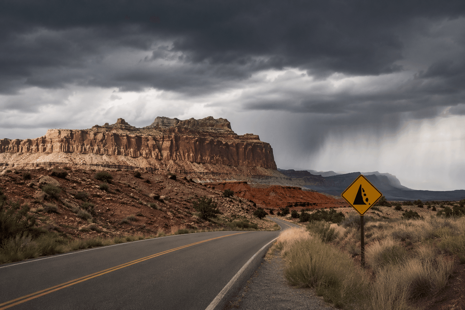
Capitol Reef National Park’s Alerts and Conditions page should be your first stop before a hike, a scenic drive, or a long stretch of two-lane Utah. In a landscape shaped by fast weather, remote roads, and drainage-heavy terrain, that page is often the difference between a clean run and a day spent turning around at a wash, a closed trailhead, or a muddy road cut. It is the quickest way to decide whether your plan still makes sense before you leave camp or pull out of the hotel lot.
Start with the page that tells you what changed
The page is built for the trip decisions visitors make in the field. The park is not a place where one green light on the highway tells the whole story. A main route can be open while a side road, trail, or drainage crossing has become a bad bet because of localized weather or maintenance.
Keep this page at the top of your planning stack, not buried after you have already mapped your day. It helps you answer the real questions that come up in the Four Corners backcountry: Is the scenic drive passable? Is the trail worth trying? Do you need a safer backup plan instead of pushing deeper into remote country?
What the alerts page helps you decide
Capitol Reef’s conditions can shift fast enough that guidebooks and screenshots of last week’s information are already stale. Flash flooding can hit wash crossings and slot-adjacent drainages, storms can make dirt roads slick or impassable, and seasonal issues can change access to trailheads and scenic routes without much warning.
The page helps you decide whether to go ahead, cut the route short, or swap in a lower-risk option. That is especially important if you are trying to balance fuel, water, daylight, and turnaround times on a Utah road trip, where a small delay can ripple through the rest of the day.
- whether to attempt a scenic drive or stay on pavement
- whether a dirt road to a trailhead is still realistic
- whether a canyon hike should wait for better weather
- whether a backup itinerary is smarter than forcing the original plan
A few of the choices it helps with:
Flood risk is not an abstract warning here
Capitol Reef has a dedicated Flash Floods page. The park preserves the Waterpocket Fold, a long geologic monocline that creates rugged terrain and drainage patterns that can funnel water hard and fast when storms roll through.
Treat flood risk as a route-planning issue, not just a weather note. If you are heading toward washes, narrow canyons, or drainage crossings, the key question is not only whether rain is falling where you are standing. It is whether storms upstream have changed the safety of the route you were about to take.
Why the roads and hours pages belong in the same tab group
Capitol Reef also keeps separate Roads and Operating Hours and Seasons planning pages. There is no single “open” or “closed” answer that covers the whole park. Access can vary by route, by season, and by the kind of trip you are trying to make.
The visitor center can be operating while a road is still rough, a trailhead is still awkward to reach, or the timing of your visit no longer lines up with the daylight you thought you had.
Maintenance can change the map too
Weather is not the only thing that changes access in Capitol Reef. The park has also moved through road work, including a Scenic Drive Rehabilitation Project Complete news release from the National Park Service. Even a well-known route can change because of maintenance, not just storms.
A road that was rough, under work, or limited in one season may look different later. If you are planning a loop around scenic pullouts or building a day around Capitol Reef’s Scenic Drive, check the latest official road information before you roll.
Cathedral Valley needs an extra layer of caution
The alerts page matters even more when your destination is one of the park’s remote places, like Cathedral Valley. That area demands extra planning because it is not the kind of place where you can casually improvise once you are already far from services. Remote country magnifies every mistake, from underestimating road conditions to running short on fuel, water, or daylight.
A route that looks fine on paper can become a bad call once you factor in distance, isolation, and the possibility of changing weather. For Cathedral Valley, check conditions first and build the day around the park’s actual status.
The full planning toolkit is bigger than one page
Capitol Reef’s current-information toolkit includes alerts and conditions, flash-flood guidance, roads, operating hours and seasons, and parkwide active alerts from the National Park Service.
This article was produced by Prism’s automated news system from verified source data, official records, and press releases, then run through automated quality and moderation checks before publishing. The system is built and supervised by the people who set the standards it runs under. Read our full AI policy.
Did this article answer your question?