Colorado visitors warned: check fire, drought and closure updates before leaving
Colorado’s summer backcountry is running on last-minute conditions now. Fire, drought and river closures can flip a trip from routine to no-go in a single day.
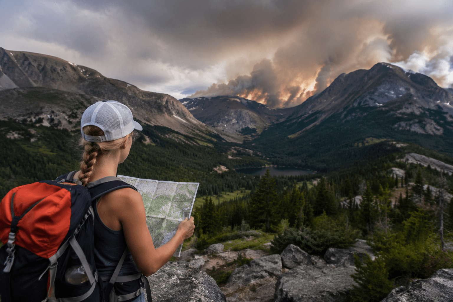
By July 2, Colorado Parks and Wildlife warned that prolonged severe drought had pushed fire danger to critical levels across the state. Fire restrictions, drought, low water and active closures are changing access fast enough that a plan that looked fine yesterday may be useless by the time you hit the trailhead, boat ramp or campground.
What changed before you leave
Governor Jared Polis escalated Colorado’s drought response on June 4 by activating Phase 3 of the state’s Drought Response Plan and declaring a statewide Drought Emergency. The state had already moved to Phase 2 and activated the Drought Task Force on March 16.
The fire side of the picture tightened almost immediately. San Juan National Forest went to Stage 2 restrictions forest-wide at 12:01 a.m. on July 1. The Grand Mesa, Uncompahgre and Gunnison National Forests did the same at 12:01 a.m. on July 1, and the Arapaho and Roosevelt National Forests followed with Stage 2 restrictions on July 2 across national forests in Boulder, Clear Creek, Gilpin, Grand, Jefferson and Larimer counties.
If a trip touches public land, the safest move is simple: check municipal, county, Forest Service, Bureau of Land Management and wildfire pages right before leaving. The Aspen Acres fire southwest of Pueblo, the Willow fire near Leadville, the Gold Mountain fire in Ouray County, the Snyder fire affecting western Colorado public lands and boat ramps, and the Ferris fire that triggered broad BLM restrictions in Dolores County all show how quickly a route can disappear.
Hikers: Stage 2 is the point where you stop improvising
For hikers, Stage 2 restrictions are the big red flag. They are close to a blanket ban on outdoor flames, which means you should not assume a campground stove, a backcountry campfire ring or even a casual fire setup is part of the plan anymore. If your hike depends on a fire for cooking, warmth or a sunset hangout, that is your cue to change the itinerary before you drive.
The more serious trigger is smoke plus closure overlap. The Aspen Acres fire had burned more than 74,000 acres by July 3, making it the eighth-largest fire in Colorado history at that point. More than 3,800 homes had been evacuated and about 11,000 people were affected, and by July 6 to 7 the fire had grown to nearly 87,000 acres and destroyed more than 180 structures.
- Leave earlier if afternoon wind, red-flag weather or smoke is forecast near the trail corridor.
- Carry more water than you think you need if there is any chance of heat or delayed exit.
- Reroute if the trailhead sits near an active fire, a closure boundary or a county under evacuation notices.
- Skip the trip entirely if the only route in or out crosses an area under current restrictions.
A careful hiking plan now looks like this:
Rafters and paddlers: water is part of the closure problem now
Drought is not just shrinking snowfields and drying camp spots. It is changing what you can float, launch or paddle. The Colorado Basin River Forecast Center posts daily recreational river forecasts. Those numbers are provisional and change constantly, so you should treat them as a last-minute planning tool, not a promise.
The Snyder Fire made the water issue concrete. Colorado Parks and Wildlife issued an emergency closure for all public access and downstream recreation on the Colorado River from James M. Robb-Colorado River State Park in Fruita to the Utah state line.
- Leave earlier if the forecast calls for heat, thin flows or wind that will complicate shuttle timing.
- Carry more water if the launch or takeout sits in a dry, exposed corridor with no reliable resupply.
- Reroute if the forecasted reach is under emergency closure, if the ramp is shut, or if wildfire access is changing on the same corridor.
- Skip the trip entirely if the river forecast is provisional and the only viable put-in or takeout is already inside a fire closure zone.
For rafters, anglers and paddlers, the decision points are sharper than usual:
A launch might be technically open while the downstream exit is closed, or a boat ramp can sit inside an area affected by fire restrictions that are changing daily.
Campers: the margin for error is gone
Campers are where this season’s risk gets expensive fastest. Stage 2 restrictions cut down the casual fire habits that make summer camping feel easy, and the drought makes every stray ember, hot exhaust pipe and unattended fire ring a more serious problem.
The Aspen Acres fire and the Willow fire near Leadville are reminders that a campground near a fire can go from a quiet weekend base camp to an evacuation zone with very little warning. The Willow fire had grown to about 1,919 acres by June 30 and nearly 4,000 acres by July 5, with about 450 personnel assigned by July 4 to 5.
- Leave earlier if winds or heat are rising and you are depending on a narrow mountain road.
- Carry more water if your site has no shaded fill-up point and no guaranteed campground supply.
- Reroute if a forest has moved to Stage 2, especially in the San Juan, GMUG or Arapaho and Roosevelt country.
- Skip the trip entirely if there is any active evacuation notice, fire perimeter growth or overnight smoke pattern near the campground.
For campers, the smart trigger points are blunt:
Off-road travelers: BLM country can close faster than maps can update
Off-road and overland travelers are often the first to assume they can work around a closure. This summer, that is a bad bet. The Ferris fire triggered broad Bureau of Land Management restrictions in Dolores County, which can shut down dispersed routes, pullouts and side roads even when the main highway still looks fine.
If you are hoping to hike, fish, boat or camp in Colorado, you need to check before you go. In practice, that means checking the county page for road restrictions, the Forest Service page for Stage 2 rules, the BLM page for land access, and wildfire updates for the active fire footprint before you point the truck west.
- Leave earlier if you are traveling deep into a drainage with one fragile exit.
- Carry more water because recovery times, detours and tire issues take longer in heat and dust.
- Reroute if a BLM closure cuts off the route network, even if a connector road still looks open on the map.
- Skip the trip entirely if the route crosses a fire area, a county under evacuation pressure, or public land where access notices are changing daily.
Off-road planning should be the most conservative of all:
This article was produced by Prism’s automated news system from verified source data, official records, and press releases, then run through automated quality and moderation checks before publishing. The system is built and supervised by the people who set the standards it runs under. Read our full AI policy.
Did this article answer your question?