San Juan River permit page guides planning for Four Corners trips
The San Juan permit page is the trip gatekeeper: miss the lottery window, and your Four Corners river plan usually dies before launch day.
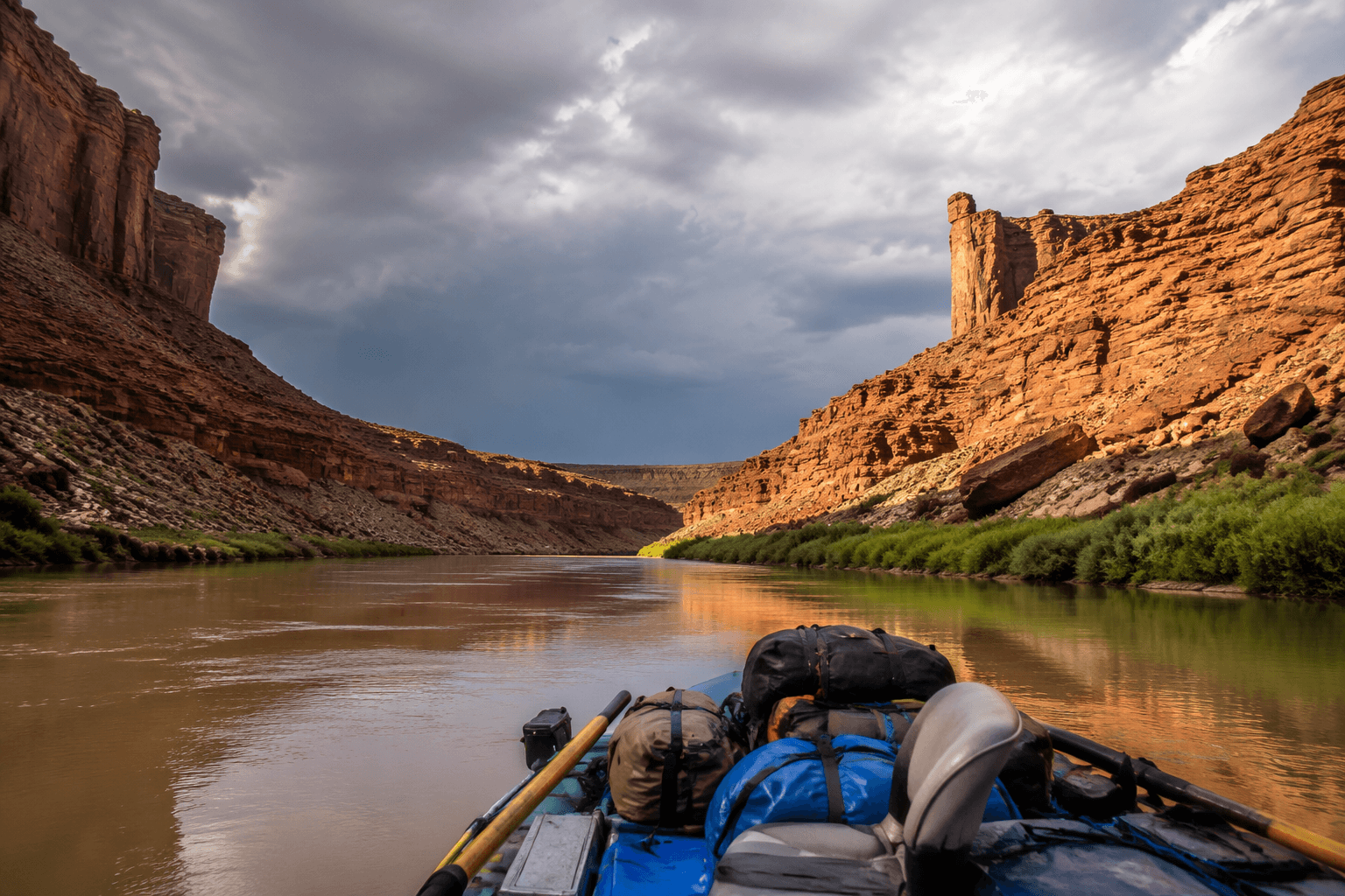
The San Juan River looks like a classic desert float until you hit the permit page and realize the trip is won or lost there. The Bureau of Land Management controls the route from Montezuma Creek, Utah, to the boundary of Glen Canyon National Recreation Area, and the permit system, run with the National Park Service by agreement, decides who actually gets on the water.
Why the permit page is the real choke point
This is not a river you can treat like a spontaneous weekend run. The San Juan runs through red rock canyons packed with scenery, archaeology, history, remarkable geographic features, and desert wildlife, and it includes Class II to III rapids. It draws heavy interest, requires judgment, and is tightly managed to keep use sustainable.
BLM requires a permit year-round for the 102-mile section between Montezuma Creek and Clay Hills Crossing. Permits are issued only through a pre-season lottery and advance reservations, and applicants must be 18 or older.
How the river is laid out
The practical trip corridor has three access points, and most groups launch at Sand Island or Mexican Hat and take out at Mexican Hat or Clay Hills. American Whitewater divides the route into the Upper San Juan, Sand Island to Mexican Hat, rated Class II over 26.9 miles, and the Lower San Juan, Mexican Hat to Clay Hills Crossing, rated I-II(III) over 56.7 miles. That split shapes shuttles, meals, camp gear, and the kind of crew you put on the water.
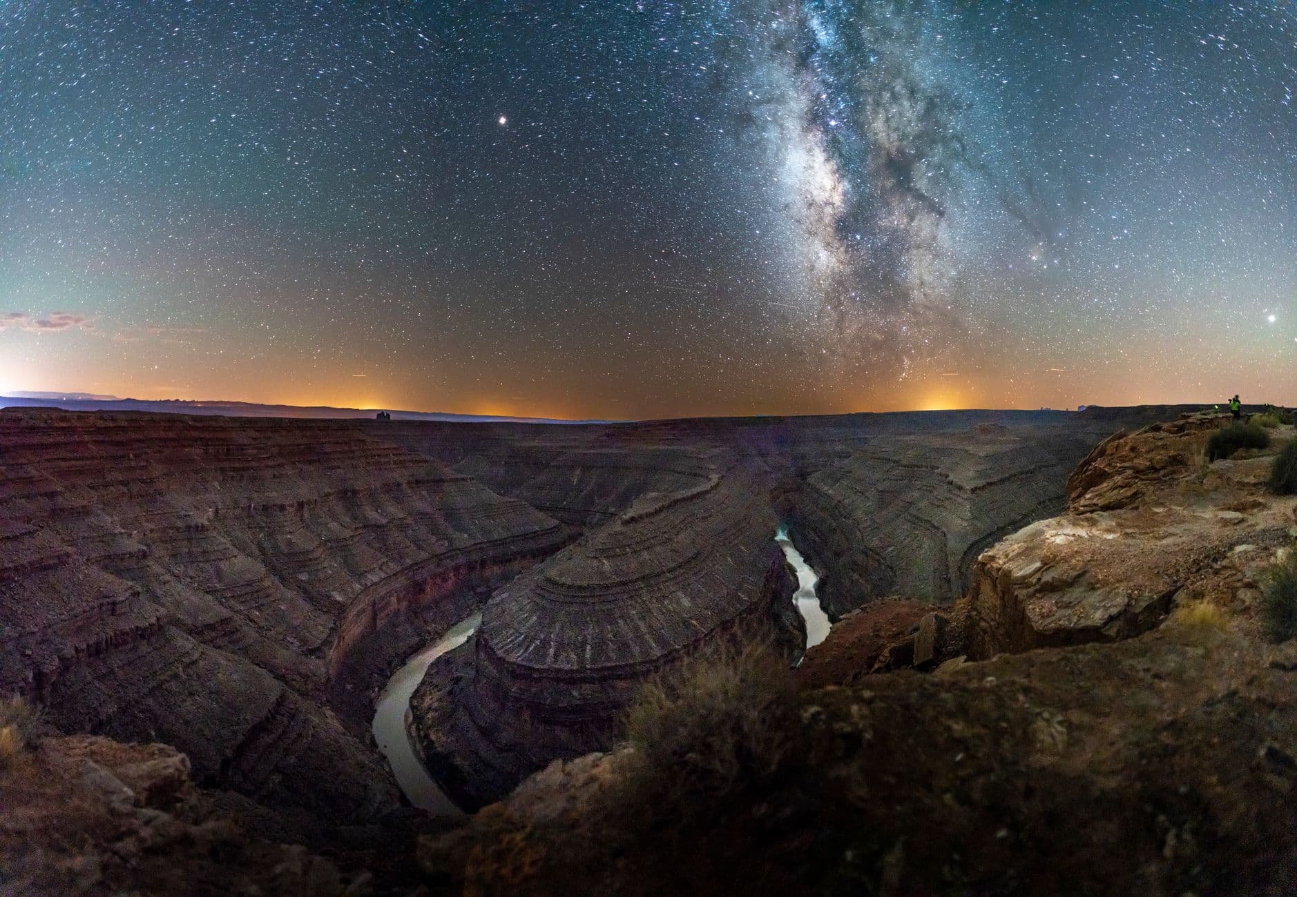
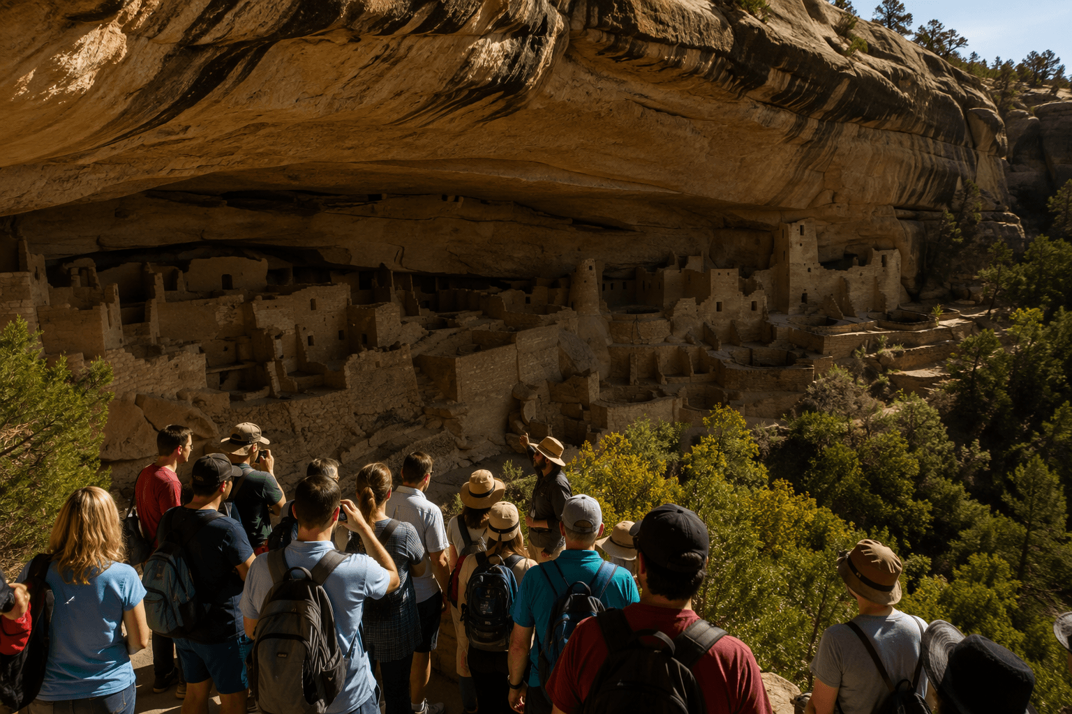
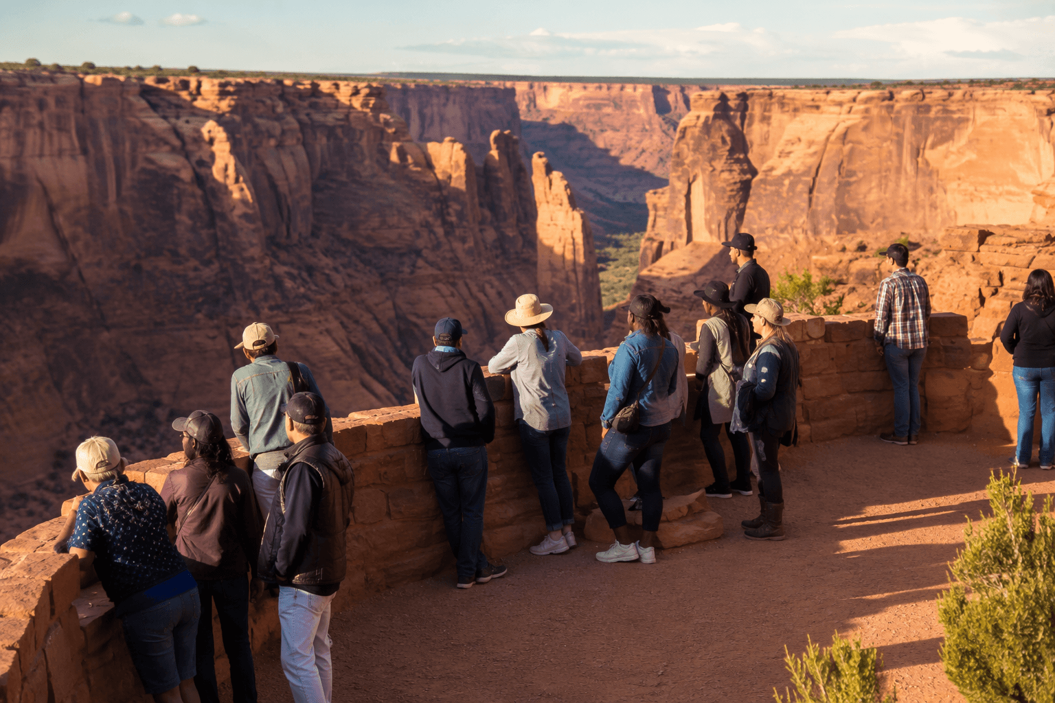
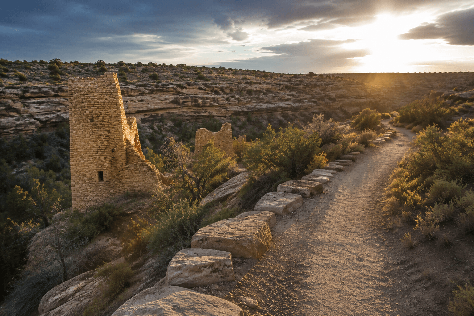
If you are building a Four Corners itinerary around Bluff, Mexican Hat, or Bears Ears National Monument, the San Juan is the thread that ties the whole trip together. It is a multi-day desert river, not a roadside paddle. Your put-in and take-out points determine the rest of the logistics.
The lottery timing that decides whether you go
The key planning fact is simple: for trips launching between April 15 and July 15, the permit lottery opens the door, and the application deadline is January 31. Outside that lottery season, trips before the lottery period are available by reservation on December 1 the year prior and trips after the lottery season are available by reservation on March 16.
That timeline is the trap for most first-timers. If you wait until you are ready to pack coolers and call a shuttle, you are already late for the dates most people want. The permit page should be the first tab you open when you start thinking about a San Juan trip, because everything else, from your launch date to your food list, hangs off that one deadline.
Paddling Magazine cited a 2021 San Juan River permit success rate of 2-5% in a social-media post. Whether your group gets through can come down to timing, flexibility, and how well you understand the reservation windows. The smart move is to build more than one date into your plan and be ready to shift around the permit you actually get.
How to avoid the mistakes that wreck a San Juan plan
Do not show up at the launch ramp without a permit expecting to launch or join another group. The system is not designed for walk-up improvisation. If you miss your reservation or assume a friend’s permit can cover your group, you are setting yourself up to be turned around before the trip starts.
- Lock the permit calendar before you lock in lodging in Bluff or Mexican Hat.
- Match the trip section to your crew’s skills, especially if you are moving beyond the Class II upper reach.
- Build shuttle time into the schedule, because your launch and take-out points are not interchangeable.
- Plan food storage, campsite setup, and river days around the actual access point you land.
A better plan is to handle the unglamorous pieces early:
Why the San Juan is managed so tightly
The permit system exists because the river corridor is both popular and sensitive. It is meant to limit crowding and reduce impacts on riverbanks, campsites, and culturally significant sites along the corridor. The BLM’s 2014 amended business plan lays out a formal recreation-fee and management program, not an ad hoc reservation desk.
The Navajo Nation Water Rights Commission puts the San Juan at about 24,900 square miles of drainage across the Four Corners region and 355 miles in length to Lake Powell. A 2023 habitat-monitoring report for the San Juan River Biological Committee tracks the river within an ongoing biological and habitat monitoring framework.
This article was produced by Prism’s automated news system from verified source data, official records, and press releases, then run through automated quality and moderation checks before publishing. The system is built and supervised by the people who set the standards it runs under. Read our full AI policy.
Did this article answer your question?