Washington state’s Puget Sound offers rich magnet-fishing opportunities
Puget Sound’s wartime shipyard legacy and salt water make Washington a standout magnet-fishing map, while the Columbia’s live channel data and treaty rules demand a different approach.
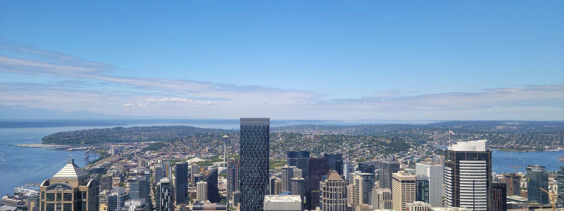
More than 32,000 civilian workers once stayed busy around the clock in Puget Sound shipyards to repair or modernize about 400 ships. Deep, cold salt water and a century-plus of maritime traffic give this part of Washington a very different profile from a typical inland pond.
The state’s best magnet-fishing opportunities are not spread evenly across the map. They cluster where ferries, shipyards, fishing fleets, and naval activity left layers of metal behind, and they shift again when you move east to the Columbia corridor, where current and channel depth change the experience from one outing to the next.
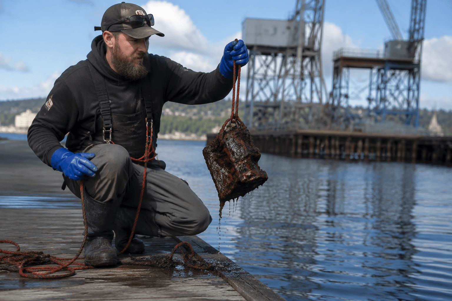
Puget Sound: salt water, shipyards, and layers of traffic
Puget Sound is working maritime water. The Puget Sound Maritime Historical Society has preserved the region’s maritime past since 1948, and its collection includes material on the Mosquito Fleet, shipyards, naval architects, and the fishing industry.
The National Park Service recognizes the Maritime Washington National Heritage Area, and the Puget Sound Navy Museum collects, preserves, and interprets the naval heritage of the Pacific Northwest. Around Seattle, Bremerton, Port Orchard, and Kitsap County, ferry routes, military facilities, and commercial maritime use have overlapped for generations at the waterline.
For magnet fishers, that means Puget Sound tends to offer the best shot at finds tied to heavy working-water history rather than simple casual loss. Salt water also means corrosion is a bigger part of the experience, so anything you pull may be more pitted, brittle, or encrusted than the same object pulled from a freshwater lake.
The Columbia corridor: powerful current, live data, and a different kind of pull
The Columbia River gives Washington a second major magnet-fishing lane, but it should be treated as a different animal entirely. The U.S. Army Corps of Engineers lists the Columbia-Lower Willamette navigation channel at 600 feet wide, 43 feet deep, and 106.5 miles long.
The Port of Portland publishes a six-day forecast for Columbia River navigation-channel depth, and that forecast shifts with weather and tide tables. NOAA and USGS maintain real-time water data for the Columbia River at Vancouver. A strong-looking shoreline can hide fast current, fluctuating depth, and conditions that make a simple cast much harder than it looks.
This is where the gear choice starts to matter as much as the location choice. A calm canal or pond may forgive a lighter setup, but the Columbia corridor rewards planning and serious current-handling equipment.
Inland water changes the odds, but not the homework
Once you move away from Puget Sound and the Columbia, the experience changes again. Inland spots such as smaller canals, ponds, and quieter urban waters usually reduce the salt corrosion problem, and they often make retrieval simpler because the water is less punishing than a tidal sound or a fast-moving river. What you give up is the heavy maritime layering that makes Washington so appealing in the first place.
In a calmer inland spot, you may see more everyday loss and less shipyard-era residue. In Puget Sound, the odds tilt toward metal tied to ferries, naval traffic, fishing work, and waterfront industry. In the Columbia corridor, the find pattern is shaped by a living navigation channel that can change with the weather and tide tables.
The rule check is part of the hunt
Washington’s most interesting waters are also the ones where access and authority need a close look before anyone drops a line. Washington Department of Archaeology and Historic Preservation protections and tribal treaty areas are part of that picture.
The legal backdrop is especially important in salmon and steelhead country. Those fisheries are co-managed by the state and Indian nations under treaties signed with the federal government in the 1850s. Puget Sound fisheries are co-managed by Treaty Tribes and the Washington State government, and the Encyclopedia of Puget Sound dates five landmark treaties in the region to 1854 through 1856.
Tribes retain fishing rights in their usual and accustomed areas, which is why a magnet-fishing spot can be legally sensitive even when it looks open and ordinary from the shoreline. A quick pre-trip check with local and tribal authorities is part of the outing.
This article was produced by Prism’s automated news system from verified source data, official records, and press releases, then run through automated quality and moderation checks before publishing. The system is built and supervised by the people who set the standards it runs under. Read our full AI policy.
Did this article answer your question?