IAEA study uses natural radioactivity to track coastal sediment movement
Natural radioactivity is giving coastal managers a new way to see sand move, helping map erosion, fine-tune dredging, and protect harbors without extra tracers.

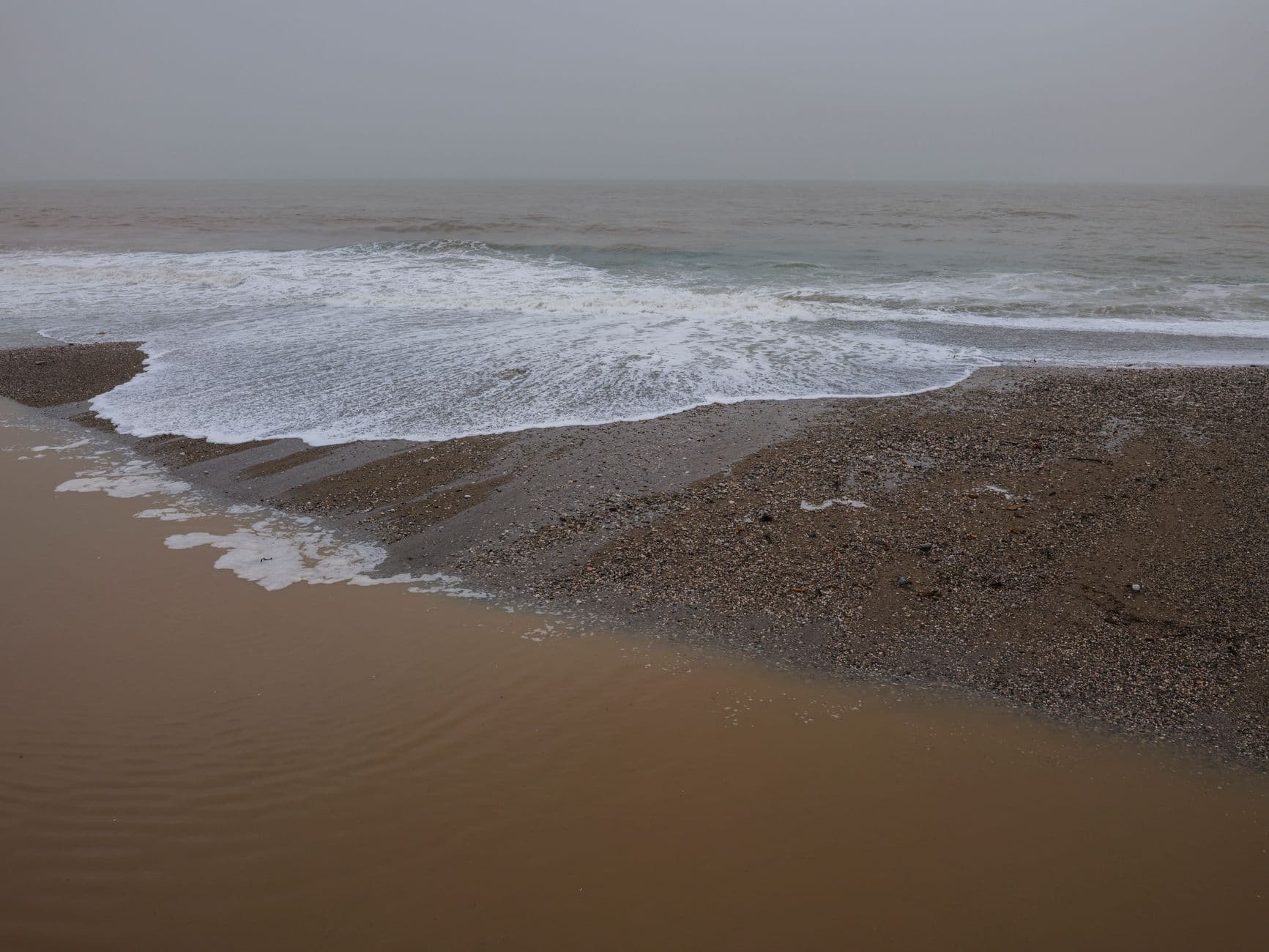
A beach can look calm while its sediment is already shifting, scouring away one shoreline and silting up a harbor somewhere else. The new IAEA-linked work turns that hidden movement into a readable signal by using naturally radioactive grains, portable gamma-ray sensors, and modelled transport maps to show where sediment comes from and where it ends up.
How natural radioactivity becomes a sediment map
The core idea is simple but powerful: sediments already carry their own radioactive fingerprints. Instead of releasing artificial tracers into the sea, researchers measure naturally occurring radionuclides in beach and underwater material, then use those readings to follow transport pathways and deposition patterns.
That makes the method especially attractive for coastal settings where erosion, shifting sandbars, ecosystem stress, infrastructure risk, and economic losses all overlap. If a shoreline is losing sand or a harbor is filling with silt, managers need more than a rough visual estimate. They need a way to identify where the sediment is traveling, how fast it is moving, and which stretches of coast are actually feeding the problem.
What the fieldwork adds
The study highlighted portable gamma-ray sensors that can map sediment radioactivity in real time along beaches and in underwater environments. That matters because the coast is not a static laboratory bench. Water depth, grain sorting, wave action, and changing mineral content all affect the signal, so the ability to collect measurements on site is a practical upgrade over older, slower approaches.
Researchers paired those field readings with geostatistical analysis, computational fluid dynamics, and Monte Carlo simulation algorithms. In plain terms, that lets them turn point measurements into broader transport patterns and test how the detected radioactivity lines up with physical sediment traits such as grain size and mineral composition. The result is a more detailed picture of where material is likely to settle, be resuspended, or move on with currents.
Why coastal managers should care
For local authorities, the payoff is not abstract. If the same sediment pathways can be tracked more accurately, dredging can be scheduled and targeted more efficiently, harbor maintenance can be better planned, and coastlines can be managed with fewer surprises. The method also avoids the need to deploy extra radioactive sources, which makes it easier to use in environmentally sensitive areas.
That is why this work fits squarely into the everyday reality of coastal management. Erosion does not just eat away beaches, it can damage tourism and recreation, alter habitats, and force expensive interventions. Siltation does not just clutter a channel, it can raise operating costs and threaten access for vessels that depend on depth staying predictable. A tool that shows where sediment is actually moving gives decision-makers a sharper basis for action.
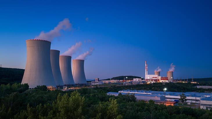
The IAEA project behind the method
The broader effort sits inside an IAEA Coordinated Research Project on sediment transport in coastal systems and rivers. Project records show it was approved on 20 October 2020, started on 18 June 2021, and was expected to run until 1 September 2025. The project page lists participating countries including Brazil, Canada, Egypt, Ghana, Greece, India, Kenya, Malaysia, Morocco, the Netherlands, South Africa, Spain, and Tunisia.
Its objective is to develop the use of natural radioactivity and naturally radioactive sediment for tracing, including “black sand tracing.” That detail is important because it shows the project is not just about measuring background radiation. It is about using the radioactive signature already present in certain sediments as a tracking tool that complements existing sediment-transport techniques.
The IAEA has also said that radioisotopes as tracers and sealed sources have been useful in sediment transport studies since the 1960s. The new work builds on that history, but it shifts the emphasis toward passive, naturally occurring radioactivity and away from introducing additional material into the environment.
Where the marine data infrastructure fits
This coastal-sediment work also plugs into a larger IAEA marine-monitoring network. The Marine Radioactivity Information System, or MARIS, gives users free access to search and download measurements of radioactivity in seawater, biota, sediment, and suspended matter. It is hosted by the IAEA Environment Laboratories in Monaco, alongside the Radiometrics Laboratory, the Radioecology Laboratory, and the Marine Environmental Studies Laboratory.
That institutional base matters because the ocean is not radioactive in just one way. The IAEA notes that the marine environment contains naturally occurring radionuclides, but also some human-caused radioactivity from fallout and releases from nuclear facilities. MARIS helps provide a structured place to compare those measurements, and the marine radioactivity database initiative has been part of the agency’s programme for more than 20 years.
What comes next for the coast
The project has already generated 40 peer-reviewed articles, 50 conference proceedings, and six PhD or master’s theses, which suggests the method is moving from niche technique toward broader scientific utility. The next stage is more applied: the IAEA plans follow-up work that brings coastal managers and government authorities more directly into the process.
That is the real turning point in this story. Natural radioactivity is no longer just something to measure in the background, it is becoming a practical way to read the hidden motion of sand, protect harbors, and make coastal decisions with fewer guesses and more evidence.
This article was produced by Prism’s automated news system from verified source data, official records, and press releases, then run through automated quality and moderation checks before publishing. The system is built and supervised by the people who set the standards it runs under. Read our full AI policy.
Did this article answer your question?